
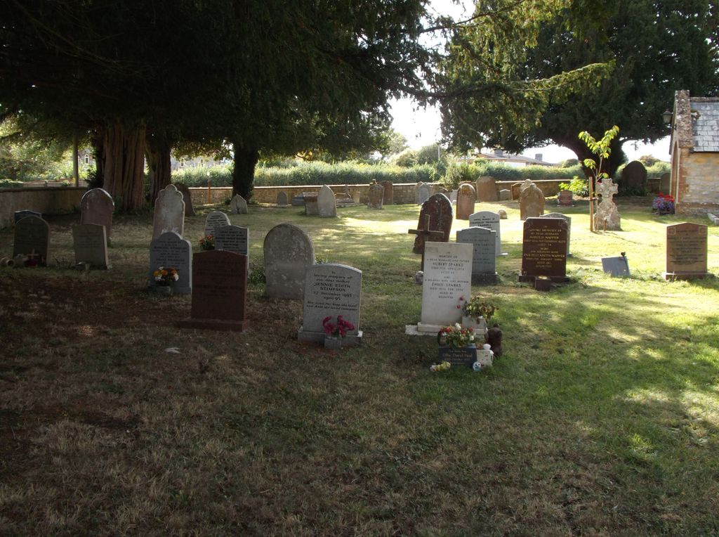
| Memorials | : | 0 |
| Location | : | West Hatch, Taunton Deane Borough, England |
| Coordinate | : | 50.9840980, -3.0195000 |
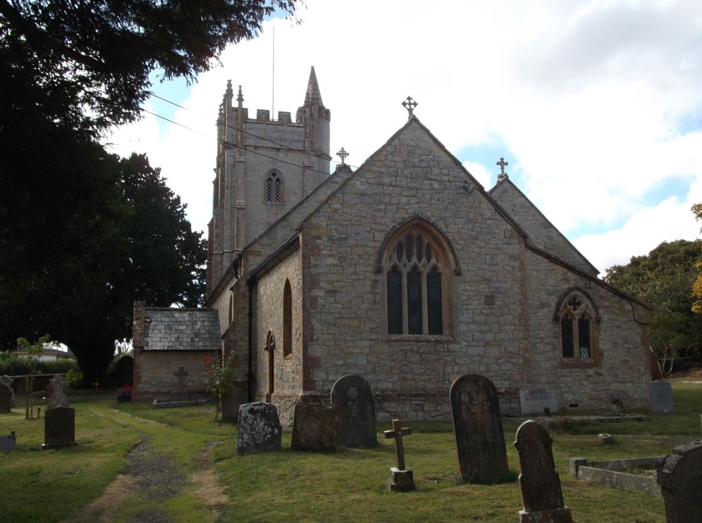
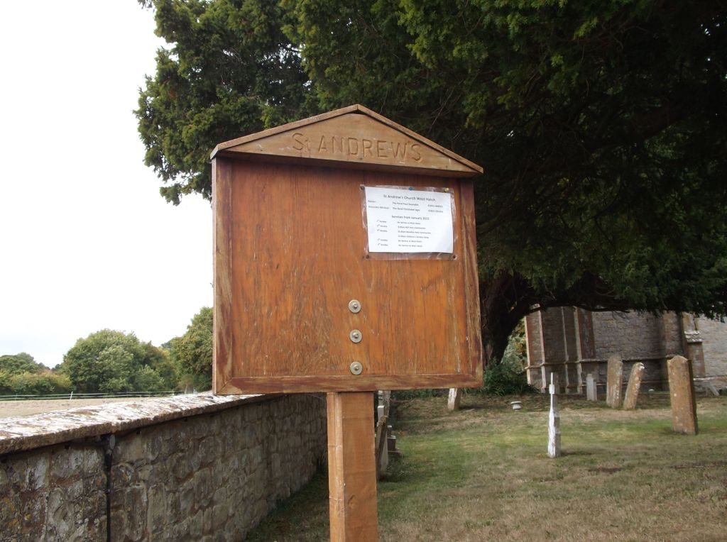
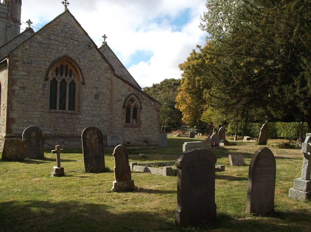
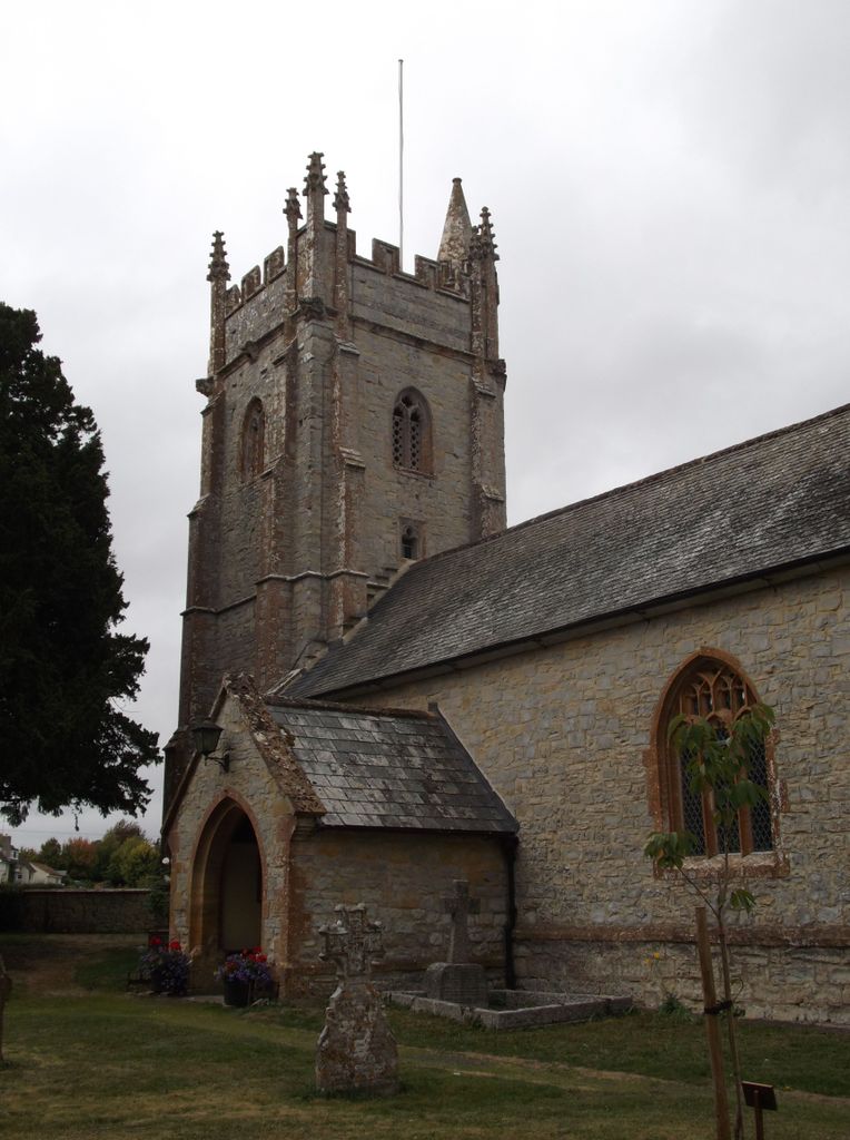
| Description | : | The parish Church of Saint Andrew dates from the 1400s. It was restored in 1861 and again in 1907. It is a Grade II listed building. |
frequently asked questions (FAQ):
-
Where is Saint Andrew's Churchyard?
Saint Andrew's Churchyard is located at West Hatch, Taunton Deane Borough ,Somerset , TA3 5RJEngland.
-
Saint Andrew's Churchyard cemetery's updated grave count on graveviews.com?
0 memorials
-
Where are the coordinates of the Saint Andrew's Churchyard?
Latitude: 50.9840980
Longitude: -3.0195000
Nearby Cemetories:
1. Hatch Beauchamp Baptist Churchyard
Hatch Beauchamp, Taunton Deane Borough, England
Coordinate: 50.9765290, -2.9975820
2. St Thomas Churchyard
Thurlbear, Taunton Deane Borough, England
Coordinate: 50.9847000, -3.0474100
3. St. John the Baptist Churchyard
Hatch Beauchamp, Taunton Deane Borough, England
Coordinate: 50.9852830, -2.9900880
4. Bickenhall St Paul Cemetery
Staple Fitzpaine, Taunton Deane Borough, England
Coordinate: 50.9637751, -3.0224048
5. Stoke St. Mary Churchyard
Stoke St Mary, Taunton Deane Borough, England
Coordinate: 50.9955000, -3.0477000
6. Holy Cross at Thornfalcon
Taunton, Taunton Deane Borough, England
Coordinate: 51.0100970, -3.0229420
7. St. Peter
Staple Fitzpaine, Taunton Deane Borough, England
Coordinate: 50.9588000, -3.0496000
8. St. James' Churchyard
Beercrocombe, South Somerset District, England
Coordinate: 50.9791730, -2.9619190
9. St Michael's Churchyard
Orchard Portman, Taunton Deane Borough, England
Coordinate: 50.9893670, -3.0788890
10. St. Michael's Churchyard
Creech St Michael, Taunton Deane Borough, England
Coordinate: 51.0223660, -3.0355780
11. All Saints Churchyard
Taunton Deane Borough, England
Coordinate: 50.9465150, -3.0396290
12. St. George Churchyard
Ruishton, Taunton Deane Borough, England
Coordinate: 51.0206300, -3.0511400
13. Ruishton Church Cemetery
Ruishton, Taunton Deane Borough, England
Coordinate: 51.0204630, -3.0520420
14. Independent Baptist Churchyard
North Curry, Taunton Deane Borough, England
Coordinate: 51.0189703, -2.9779346
15. All Saints Churchyard
Curry Mallet, South Somerset District, England
Coordinate: 50.9836110, -2.9497220
16. The Blessed Virgin Mary Churchyard
Ashill, South Somerset District, England
Coordinate: 50.9511300, -2.9672000
17. Methodist Churchyard
North Curry, Taunton Deane Borough, England
Coordinate: 51.0213358, -2.9731175
18. St. Nicholas's Churchyard
Corfe, Taunton Deane Borough, England
Coordinate: 50.9714590, -3.0947100
19. St. Peter & St. Paul's Churchyard
North Curry, Taunton Deane Borough, England
Coordinate: 51.0258710, -2.9716440
20. Baptist Chapel
Isle Abbotts, South Somerset District, England
Coordinate: 50.9820340, -2.9282940
21. St. George's Roman Catholic Church
Taunton Deane Borough, England
Coordinate: 51.0130135, -3.0986681
22. United Reformed Church
Taunton, Taunton Deane Borough, England
Coordinate: 51.0130240, -3.0997408
23. St. Mary Magdalene Church
Taunton, Taunton Deane Borough, England
Coordinate: 51.0157120, -3.1006450
24. St Mary the Virgin Churchyard
Isle Abbotts, South Somerset District, England
Coordinate: 50.9842010, -2.9240160