
| Memorials | : | 66 |
| Location | : | Clementsville, Casey County, USA |
| Coordinate | : | 37.2877860, -85.0955300 |
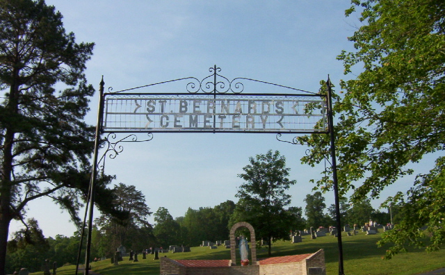
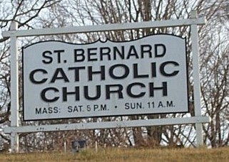
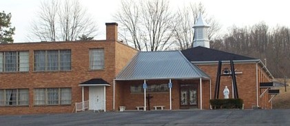
| Description | : | The history of St. Bernard begins in 1802 when seven Catholic families, originally from Maryland , migrated from Washington County , Kentucky to the Casey Creek region. These early Catholics first celebrated Mass in their homes and a traveling priest named Father Badin came by to serve their needs. In 1807, Trappist Monks built a monastery on the banks of Casey Creek but soon left in 1808. In 1810, Father Nerinckx helped those original settlers purchase over 400 acres of land (now known as the Chapel F arm) and erect a small log church which he christened Saint Bernard of Clairvaux.... Read More |
frequently asked questions (FAQ):
-
Where is Saint Bernard Cemetery?
Saint Bernard Cemetery is located at Clementsville, Casey County ,Kentucky ,USA.
-
Saint Bernard Cemetery cemetery's updated grave count on graveviews.com?
61 memorials
-
Where are the coordinates of the Saint Bernard Cemetery?
Latitude: 37.2877860
Longitude: -85.0955300
Nearby Cemetories:
1. Saint Bernard Cemetery Old
Clementsville, Casey County, USA
Coordinate: 37.2892560, -85.0961550
2. Noels Chapel Cemetery
Clementsville, Casey County, USA
Coordinate: 37.3164368, -85.1088943
3. Gum Lick Cemetery
Casey County, USA
Coordinate: 37.3250008, -85.0841980
4. Antioch Baptist Church Cemetery
Casey County, USA
Coordinate: 37.2658600, -85.0492300
5. Pleasant Hill Cemetery
Barnett Springs, Adair County, USA
Coordinate: 37.2443160, -85.0970000
6. Goode Cemetery
Adair County, USA
Coordinate: 37.3008003, -85.1483002
7. Hiter Cemetery
Knifley, Adair County, USA
Coordinate: 37.2477989, -85.0678024
8. Cold Springs Primitive Baptist Church Cemetery
Creston, Casey County, USA
Coordinate: 37.2681274, -85.0435638
9. Sanders Family Cemetery
Casey Creek, Adair County, USA
Coordinate: 37.2612801, -85.1430130
10. Mills Gravesite
Pellyton, Adair County, USA
Coordinate: 37.2424100, -85.0736100
11. Beard Cemetery
Atterson, Casey County, USA
Coordinate: 37.3290300, -85.1289500
12. Fisher Cemetery
Casey County, USA
Coordinate: 37.2791750, -85.0296040
13. Mount Pleasant Cemetery
Creston, Casey County, USA
Coordinate: 37.2750702, -85.0291214
14. Neel-Davis Cemetery #2
Creston, Casey County, USA
Coordinate: 37.2444440, -85.0486111
15. Barnett Creek Methodist Church Cemetery
Barnett Springs, Adair County, USA
Coordinate: 37.2304800, -85.0882500
16. Block Pentecostal Church Cemetery
Casey County, USA
Coordinate: 37.3061829, -85.0263443
17. Roley Cemetery
Casey Creek, Adair County, USA
Coordinate: 37.2646900, -85.1629900
18. Bass Cemetery
Bass, Casey County, USA
Coordinate: 37.3308350, -85.1497260
19. Marple Cemetery
Casey County, USA
Coordinate: 37.3421400, -85.0568700
20. Jones Chapel Cemetery
Bass, Casey County, USA
Coordinate: 37.3371950, -85.1473580
21. Caldwell Chapel Cemetery
Knifley, Adair County, USA
Coordinate: 37.2314800, -85.1395700
22. White Oak Church Cemetery
Clementsville, Casey County, USA
Coordinate: 37.3409042, -85.0396805
23. Eastridge Cemetery
Feathersburg, Adair County, USA
Coordinate: 37.2919006, -85.1844025
24. Barr Cemetery
Knifley, Adair County, USA
Coordinate: 37.2870230, -85.1845910