
| Memorials | : | 5 |
| Location | : | Clementsville, Casey County, USA |
| Coordinate | : | 37.2892560, -85.0961550 |
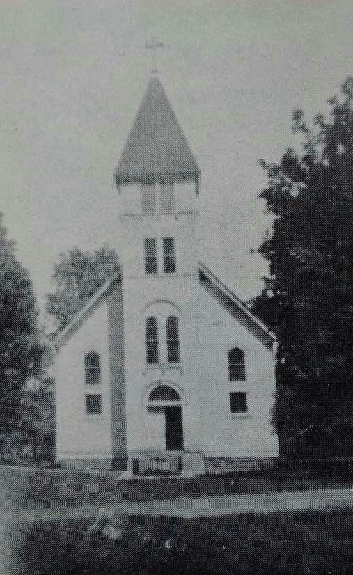
| Description | : | History of St Bernard Cemetery - Old The Second Saint Bernard Church was opened in 1860. It stood on what is now known as "The Garden". The Old Saint Bernard Cemetery was opened when the second church was opened as is adjacent to where the second church stood. Many decendents of the pioneer familes who were buried in href="http://www.findagrave.com/cgi-bin/fg.cgi?page=cr&CRid=2408766&CScn=chapel+farm&CScntry=4&CSst=19&CScnty=1011&"> Chapel Farm Cemetery are buried in this cemetery. Future generations are buried behind the third church in the href="http://www.findagrave.com/cgi-bin/fg.cgi?page=cr&CRid=449220&CScn=St+Bernard&CScntry=4&CSst=19&CScnty=1011"> St Bernard Cemetery (text by contrib#46879360 |
frequently asked questions (FAQ):
-
Where is Saint Bernard Cemetery Old?
Saint Bernard Cemetery Old is located at Clementsville, Casey County ,Kentucky ,USA.
-
Saint Bernard Cemetery Old cemetery's updated grave count on graveviews.com?
5 memorials
-
Where are the coordinates of the Saint Bernard Cemetery Old?
Latitude: 37.2892560
Longitude: -85.0961550
Nearby Cemetories:
1. Saint Bernard Cemetery
Clementsville, Casey County, USA
Coordinate: 37.2877860, -85.0955300
2. Noels Chapel Cemetery
Clementsville, Casey County, USA
Coordinate: 37.3164368, -85.1088943
3. Gum Lick Cemetery
Casey County, USA
Coordinate: 37.3250008, -85.0841980
4. Goode Cemetery
Adair County, USA
Coordinate: 37.3008003, -85.1483002
5. Antioch Baptist Church Cemetery
Casey County, USA
Coordinate: 37.2658600, -85.0492300
6. Pleasant Hill Cemetery
Barnett Springs, Adair County, USA
Coordinate: 37.2443160, -85.0970000
7. Sanders Family Cemetery
Casey Creek, Adair County, USA
Coordinate: 37.2612801, -85.1430130
8. Cold Springs Primitive Baptist Church Cemetery
Creston, Casey County, USA
Coordinate: 37.2681274, -85.0435638
9. Hiter Cemetery
Knifley, Adair County, USA
Coordinate: 37.2477989, -85.0678024
10. Beard Cemetery
Atterson, Casey County, USA
Coordinate: 37.3290300, -85.1289500
11. Mills Gravesite
Pellyton, Adair County, USA
Coordinate: 37.2424100, -85.0736100
12. Fisher Cemetery
Casey County, USA
Coordinate: 37.2791750, -85.0296040
13. Mount Pleasant Cemetery
Creston, Casey County, USA
Coordinate: 37.2750702, -85.0291214
14. Block Pentecostal Church Cemetery
Casey County, USA
Coordinate: 37.3061829, -85.0263443
15. Roley Cemetery
Casey Creek, Adair County, USA
Coordinate: 37.2646900, -85.1629900
16. Neel-Davis Cemetery #2
Creston, Casey County, USA
Coordinate: 37.2444440, -85.0486111
17. Barnett Creek Methodist Church Cemetery
Barnett Springs, Adair County, USA
Coordinate: 37.2304800, -85.0882500
18. Bass Cemetery
Bass, Casey County, USA
Coordinate: 37.3308350, -85.1497260
19. Marple Cemetery
Casey County, USA
Coordinate: 37.3421400, -85.0568700
20. Jones Chapel Cemetery
Bass, Casey County, USA
Coordinate: 37.3371950, -85.1473580
21. Caldwell Chapel Cemetery
Knifley, Adair County, USA
Coordinate: 37.2314800, -85.1395700
22. White Oak Church Cemetery
Clementsville, Casey County, USA
Coordinate: 37.3409042, -85.0396805
23. Eastridge Cemetery
Feathersburg, Adair County, USA
Coordinate: 37.2919006, -85.1844025
24. Barr Cemetery
Knifley, Adair County, USA
Coordinate: 37.2870230, -85.1845910