
| Memorials | : | 99 |
| Location | : | Pisgah, Charles County, USA |
| Coordinate | : | 38.5416400, -77.1440500 |
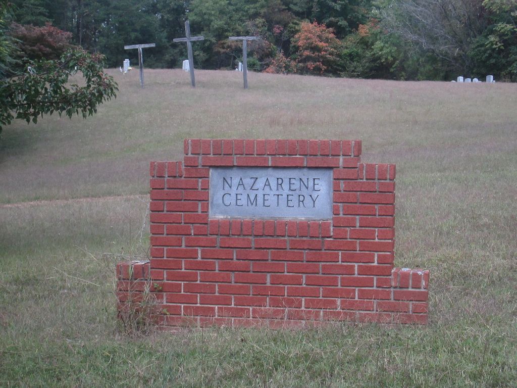
| Description | : | There are three large crosses visible from the road. This cemetery is managed by the Indian Head Church of the Nazarene 35 Raymond Avenue, Indian Head 301-375-7611 |
frequently asked questions (FAQ):
-
Where is Pisgah Nazarene Church Cemetery?
Pisgah Nazarene Church Cemetery is located at Bicknell Rd. (MD Rte 484) Pisgah, Charles County ,Maryland ,USA.
-
Pisgah Nazarene Church Cemetery cemetery's updated grave count on graveviews.com?
99 memorials
-
Where are the coordinates of the Pisgah Nazarene Church Cemetery?
Latitude: 38.5416400
Longitude: -77.1440500
Nearby Cemetories:
1. Pisgah United Methodist Church Cemetery
Pisgah, Charles County, USA
Coordinate: 38.5410995, -77.1342010
2. Pleasant Grove Missionary Baptist Church Cemetery
Marbury, Charles County, USA
Coordinate: 38.5586014, -77.1669006
3. Smith Chapel Cemetery
La Plata, Charles County, USA
Coordinate: 38.5327988, -77.1117020
4. Marbury Baptist Church Cemetery
Marbury, Charles County, USA
Coordinate: 38.5686700, -77.1533700
5. Speake Cemetery
Pisgah, Charles County, USA
Coordinate: 38.5166800, -77.1221400
6. Smallwood State Park
Marbury, Charles County, USA
Coordinate: 38.5496000, -77.1876700
7. Park Hill Cemetery
Marbury, Charles County, USA
Coordinate: 38.5769005, -77.1580963
8. Alexandria Cemetery
Indian Head, Charles County, USA
Coordinate: 38.5311600, -77.2010100
9. Thompson Grave
Ironsides, Charles County, USA
Coordinate: 38.4968500, -77.1688170
10. Church of the Lord Jesus Christ Cemetery
Ironsides, Charles County, USA
Coordinate: 38.4915600, -77.1594600
11. Zion Baptist Church Cemetery
Welcome, Charles County, USA
Coordinate: 38.4897003, -77.1219025
12. Saint Ignatius of Loyola Cemetery
Hill Top, Charles County, USA
Coordinate: 38.4841995, -77.1402969
13. Saint Charles Cemetery
Glymont, Charles County, USA
Coordinate: 38.6006012, -77.1352997
14. Chicamuxen Methodist Church Cemetery
Chicamuxen, Charles County, USA
Coordinate: 38.5344009, -77.2213974
15. Christ Church Durham Parish Cemetery
Ironsides, Charles County, USA
Coordinate: 38.4731300, -77.1549400
16. Gilroy Family Cemetery
Nanjemoy, Charles County, USA
Coordinate: 38.4893000, -77.2046600
17. Mount Hope Baptist Church Cemetery
Nanjemoy, Charles County, USA
Coordinate: 38.4771300, -77.1915400
18. Saint John's Episcopal Chapel Cemetery
Pomonkey, Charles County, USA
Coordinate: 38.5980988, -77.0781021
19. Saint Katherines Cemetery
Charles County, USA
Coordinate: 38.5024986, -77.0586014
20. Saint Catherine of Alexandria Cemetery
McConchie, Charles County, USA
Coordinate: 38.5024000, -77.0584600
21. Chapman Family Cemetery
Bryans Road, Charles County, USA
Coordinate: 38.6181800, -77.1171100
22. Dents Level Cemetery
Pomonkey, Charles County, USA
Coordinate: 38.6022070, -77.0778570
23. Tubman Cemetery
Pomfret, Charles County, USA
Coordinate: 38.5974700, -77.0663710
24. Thomas Stone National Historic Site
Port Tobacco, Charles County, USA
Coordinate: 38.5299900, -77.0375300