
| Memorials | : | 0 |
| Location | : | Slinger, Washington County, USA |
| Coordinate | : | 43.3299190, -88.2878160 |
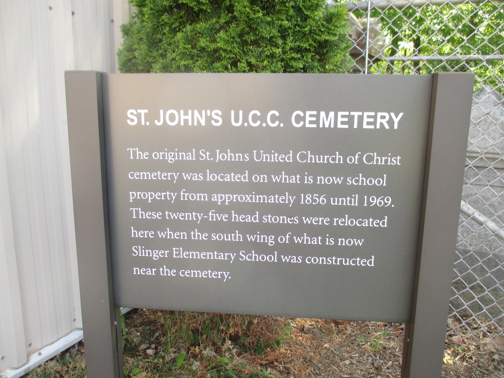
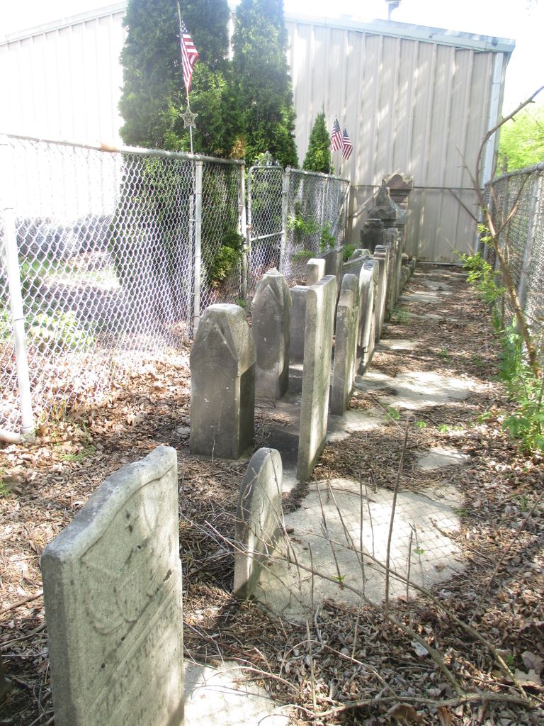
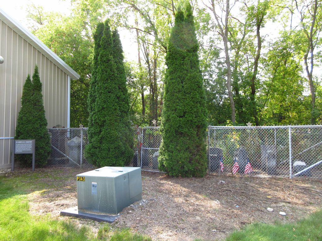
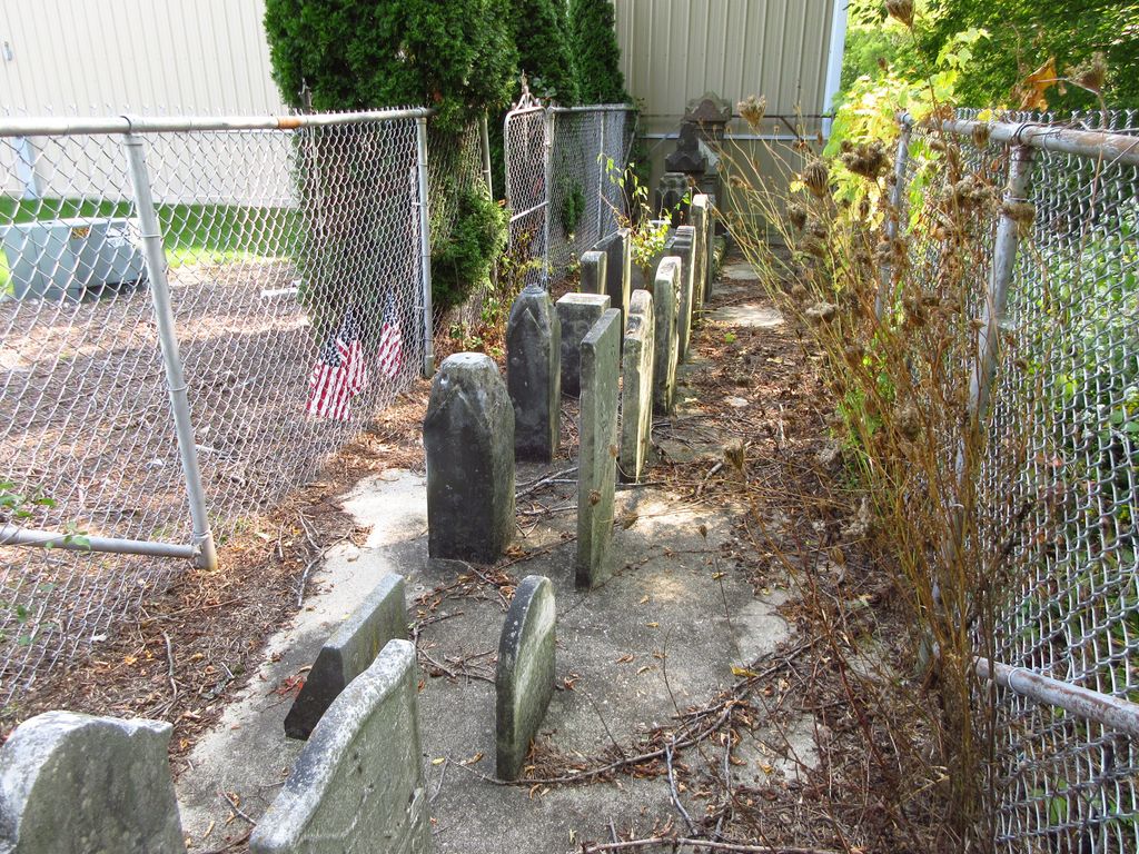
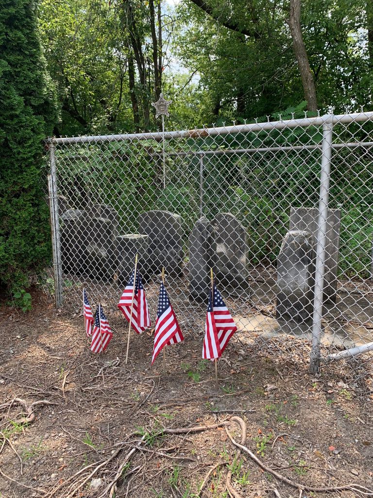
| Description | : | The original St. John's United Church of Christ cemetery was located on what is now school property from approximately 1856 until 1969. These twenty-five head stones were relocated here hen the south wing of what is now Slinger Elementary School was constructed near the cemetery. Slinger Elementary School is located at 203 Polk Street, Slinger, Wisconsin. |
frequently asked questions (FAQ):
-
Where is Saint John United Church of Christ Cemetery?
Saint John United Church of Christ Cemetery is located at Slinger, Washington County ,Wisconsin ,USA.
-
Saint John United Church of Christ Cemetery cemetery's updated grave count on graveviews.com?
0 memorials
-
Where are the coordinates of the Saint John United Church of Christ Cemetery?
Latitude: 43.3299190
Longitude: -88.2878160
Nearby Cemetories:
1. Saint Peter Cemetery Old
Slinger, Washington County, USA
Coordinate: 43.3335100, -88.2821600
2. Rosenheimer Cemetery
Slinger, Washington County, USA
Coordinate: 43.3365900, -88.2875600
3. Saint Paul Lutheran Cemetery
Slinger, Washington County, USA
Coordinate: 43.3279720, -88.2758120
4. Union Cemetery
Slinger, Washington County, USA
Coordinate: 43.3396988, -88.2822037
5. Saint Peter Cemetery New
Slinger, Washington County, USA
Coordinate: 43.3437500, -88.3042200
6. Diefenbachs Corner Cemetery
Slinger, Washington County, USA
Coordinate: 43.3537000, -88.2613100
7. Faith Cemetery
Slinger, Washington County, USA
Coordinate: 43.2950400, -88.2807900
8. Faith United Church of Christ Akerville Cemetery
Ackerville, Washington County, USA
Coordinate: 43.3031679, -88.2501243
9. Peaceful Hills Pet Cemetery
Slinger, Washington County, USA
Coordinate: 43.3690450, -88.2894670
10. Still Waters Memorial Garden
Jackson, Washington County, USA
Coordinate: 43.3208770, -88.2247920
11. Saint Lawrence Cemetery
Saint Lawrence, Washington County, USA
Coordinate: 43.3686300, -88.3320000
12. Cedar Creek Cemetery
Cedar Creek, Washington County, USA
Coordinate: 43.3450012, -88.2208023
13. Rettler Farm Cemetery
Hartford, Washington County, USA
Coordinate: 43.3501690, -88.3595430
14. Saint Kilian Cemetery Old
Hartford, Washington County, USA
Coordinate: 43.3210600, -88.3651500
15. First Presbyterian Church Cemetery
Richfield, Washington County, USA
Coordinate: 43.2729130, -88.2618910
16. Saint Marys Church Cemetery
Richfield, Washington County, USA
Coordinate: 43.2775497, -88.2407684
17. Polk Dairy Cemetery
Mayfield, Washington County, USA
Coordinate: 43.3109400, -88.2040800
18. Mayfield Cemetery
Mayfield, Washington County, USA
Coordinate: 43.3342018, -88.1980972
19. Erin Emmanuel Lutheran Cemetery
Hartford, Washington County, USA
Coordinate: 43.2768900, -88.3410100
20. Saint Pauls Evangelical Lutheran Cemetery
West Bend, Washington County, USA
Coordinate: 43.3871640, -88.2409970
21. Union Cemetery
Hartford, Washington County, USA
Coordinate: 43.3147011, -88.3831024
22. Earling Cemetery
Rugby Junction, Washington County, USA
Coordinate: 43.2812980, -88.2153220
23. Cedar Community Memorial Garden
West Bend, Washington County, USA
Coordinate: 43.3944500, -88.2410500
24. Cedar Park Cemetery
Richfield, Washington County, USA
Coordinate: 43.2807999, -88.2117004