
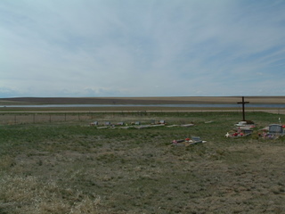
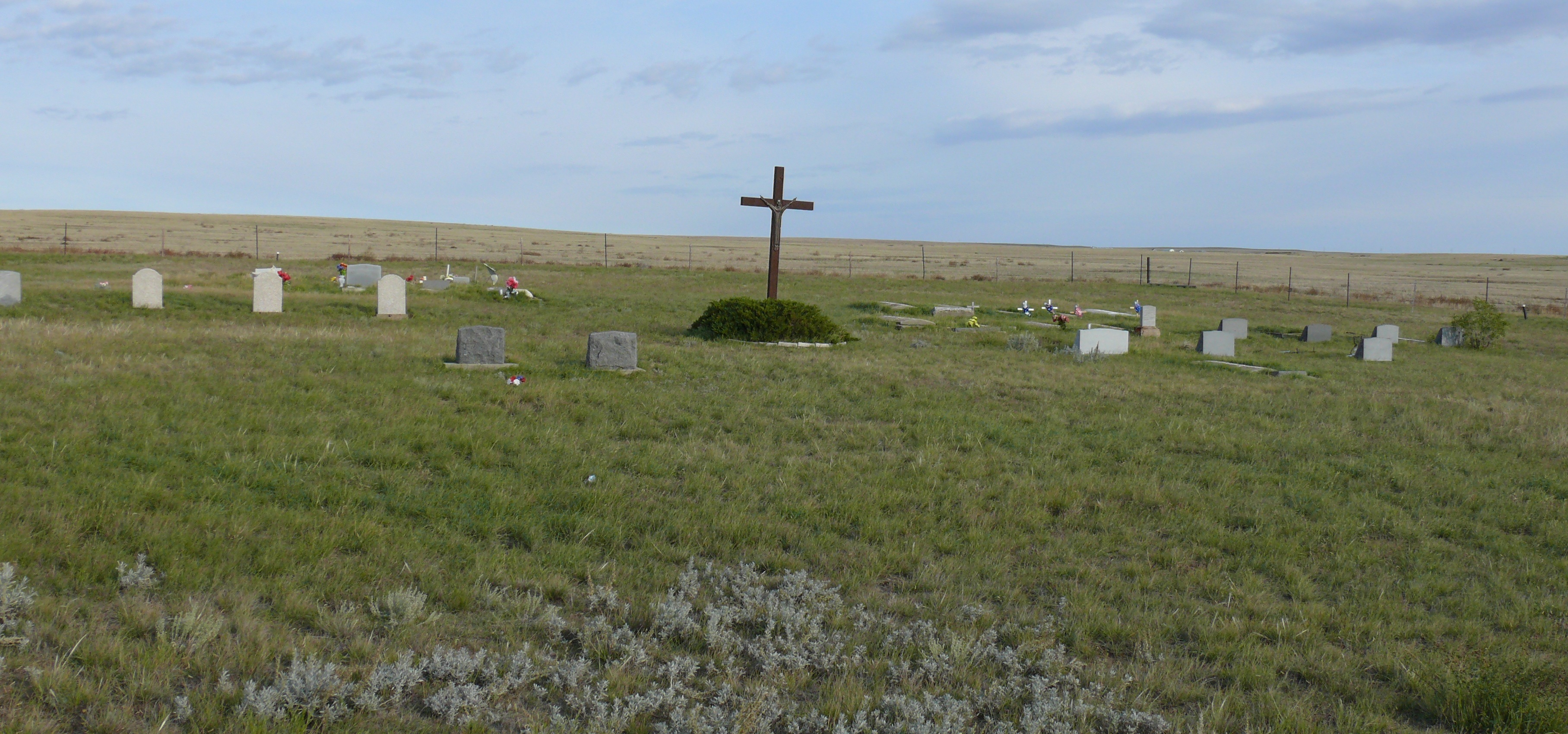
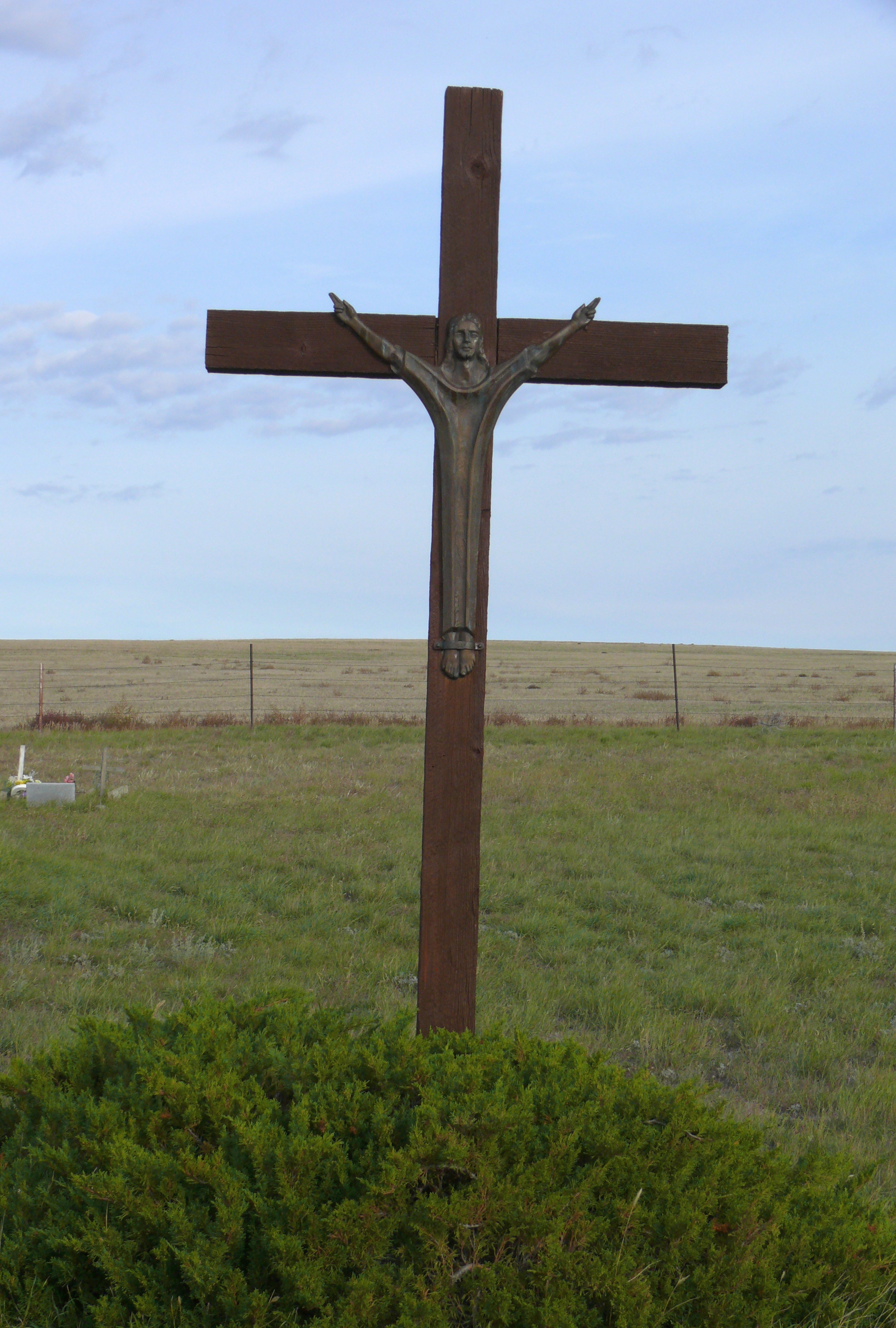
| Memorials | : | 10 |
| Location | : | Havre, Hill County, USA |
| Coordinate | : | 48.7625008, -109.9638977 |
frequently asked questions (FAQ):
-
Where is Saint Johns Catholic Cemetery?
Saint Johns Catholic Cemetery is located at Wild Horse Trail (Montana 232) Havre, Hill County ,Montana , 59501USA.
-
Saint Johns Catholic Cemetery cemetery's updated grave count on graveviews.com?
10 memorials
-
Where are the coordinates of the Saint Johns Catholic Cemetery?
Latitude: 48.7625008
Longitude: -109.9638977
Nearby Cemetories:
1. Grainbelt Cemetery
Hill County, USA
Coordinate: 48.6828003, -109.8657990
2. Hilldale Hutterite Colony Cemetery
Hilldale Colony, Hill County, USA
Coordinate: 48.7997000, -109.7872000
3. Milk River Valley Church Graveyard
Hill County, USA
Coordinate: 48.6787180, -110.2261080
4. North Havre Lutheran Church Graveyard (Defunct)
Havre, Hill County, USA
Coordinate: 48.6538903, -109.6815870
5. Spring Coulee Cemetery
Hill County, USA
Coordinate: 48.9138985, -110.2035980
6. Sunset Garden Park
Havre, Hill County, USA
Coordinate: 48.5531006, -109.8019028
7. Mount Hope Cemetery
Havre, Hill County, USA
Coordinate: 48.5540000, -109.7050000
8. East End Colony Cemetery
East End Colony, Hill County, USA
Coordinate: 48.7485000, -109.5474000
9. Highland Cemetery
Havre, Hill County, USA
Coordinate: 48.5463982, -109.6900024
10. Calvary Cemetery
Havre, Hill County, USA
Coordinate: 48.5457000, -109.6883000
11. Gildford Hill County Cemetery
Gildford, Hill County, USA
Coordinate: 48.5778008, -110.2957993
12. Cottonwood Lutheran Church Cemetery
Havre, Hill County, USA
Coordinate: 48.4545000, -110.1748000
13. Hingham Union Cemetery
Hingham, Hill County, USA
Coordinate: 48.5601570, -110.4178980
14. Saint Wenceslaus Cemetery
Goldstone, Hill County, USA
Coordinate: 48.9002610, -110.5310160
15. Andrew S. Lohman Grave Site
Lohman, Blaine County, USA
Coordinate: 48.5903520, -109.4073350
16. Cool Spring Colony Cemetery
Rudyard, Hill County, USA
Coordinate: 48.7704000, -110.5860000
17. Rudyard Cemetery
Rudyard, Hill County, USA
Coordinate: 48.5659500, -110.5390000
18. Prairie Chapel United Brethren Cemetery
Chinook, Blaine County, USA
Coordinate: 48.8860000, -109.3414000
19. Box Elder Cemetery
Box Elder, Hill County, USA
Coordinate: 48.3274000, -110.0095000
20. Grace Church Cemetery
Rudyard, Hill County, USA
Coordinate: 48.8269930, -110.6209890
21. Bethel Cemetery
Hill County, USA
Coordinate: 48.6685982, -110.6406021
22. Kuper Memorial Cemetery
Chinook, Blaine County, USA
Coordinate: 48.6083100, -109.2531200
23. Saint Gabriel Cemetery
Chinook, Blaine County, USA
Coordinate: 48.6065200, -109.2531200
24. Mennonite Brethren Cemetery
Chinook, Blaine County, USA
Coordinate: 48.8012560, -109.1980620