
| Memorials | : | 3 |
| Location | : | Stanton, Jefferson County, USA |
| Coordinate | : | 41.1091995, -79.1136017 |
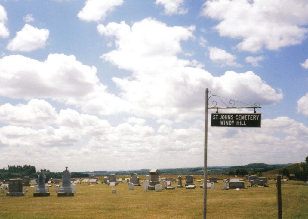
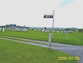
| Description | : | Located at intersection of Roller Coaster Road and Stahlman Road about 1 mile off of State Rt.36. |
frequently asked questions (FAQ):
-
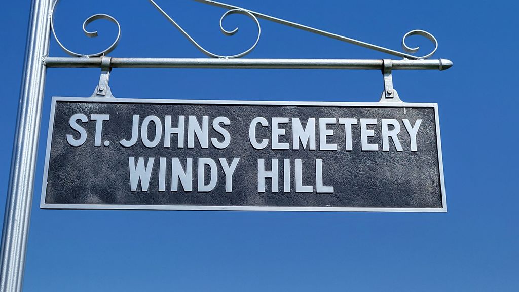
Where is Saint Johns Cemetery?
Saint Johns Cemetery is located at Roller Coaster Road (Township Road T843) Stanton, Jefferson County ,Pennsylvania , 15829USA.
-
Saint Johns Cemetery cemetery's updated grave count on graveviews.com?
2 memorials
-
Where are the coordinates of the Saint Johns Cemetery?
Latitude: 41.1091995
Longitude: -79.1136017
Nearby Cemetories:
1. Mount Pleasant United Methodist Cemetery
Summerville, Jefferson County, USA
Coordinate: 41.1098000, -79.1452000
2. Conifer Cemetery
Jefferson County, USA
Coordinate: 41.0828018, -79.1427994
3. Beaver Run Cemetery
Stanton, Jefferson County, USA
Coordinate: 41.0734634, -79.1145248
4. Jefferson Cemetery
Jefferson County, USA
Coordinate: 41.1409000, -79.1434000
5. Ramsaytown United Methodist Cemetery
Ramsaytown, Jefferson County, USA
Coordinate: 41.0799000, -79.0792000
6. Saint Marys Immaculate Conception Cemetery New
Brookville, Jefferson County, USA
Coordinate: 41.1444016, -79.0896988
7. Carrier Cemetery
Summerville, Jefferson County, USA
Coordinate: 41.1077995, -79.1691971
8. Old Saint Mary's Catholic Cemetery
Brookville, Jefferson County, USA
Coordinate: 41.1472000, -79.0876000
9. Ohl Cemetery
Ohl, Jefferson County, USA
Coordinate: 41.0833000, -79.1656000
10. Vandervort Cemetery
Summerville, Jefferson County, USA
Coordinate: 41.1027985, -79.1828003
11. Saint Matthews Evangelical Lutheran Cemetery
Ramsaytown, Jefferson County, USA
Coordinate: 41.0742600, -79.0574100
12. Cliff United Methodist Church Cemetery
Langville, Jefferson County, USA
Coordinate: 41.0545000, -79.1246000
13. Old Brookville Cemetery
Brookville, Jefferson County, USA
Coordinate: 41.1648300, -79.0785600
14. Pioneer Cemetery
Brookville, Jefferson County, USA
Coordinate: 41.1596990, -79.0633680
15. Bethlehem Lutheran Cemetery
Ohl, Jefferson County, USA
Coordinate: 41.0583992, -79.1675415
16. Andrew Barnett Gravesite
Port Barnett, Jefferson County, USA
Coordinate: 41.1562620, -79.0531080
17. Greene Cemetery
Pine Creek Township, Jefferson County, USA
Coordinate: 41.1751830, -79.1095210
18. Meade Chapel Cemetery
Knox Township, Jefferson County, USA
Coordinate: 41.1163000, -79.0259000
19. Roseville Bethel Cemetery
Roseville, Jefferson County, USA
Coordinate: 41.1752000, -79.1318000
20. Brookville Cemetery
Brookville, Jefferson County, USA
Coordinate: 41.1716995, -79.0792007
21. Smith Cemetery
Heathville, Jefferson County, USA
Coordinate: 41.0867004, -79.1996994
22. Westview Cemetery
Summerville, Jefferson County, USA
Coordinate: 41.1096992, -79.2058029
23. Knoxdale Mount Pleasant Cemetery
Knox Dale, Jefferson County, USA
Coordinate: 41.0911903, -79.0241013
24. Zion Cemetery
Langville, Jefferson County, USA
Coordinate: 41.0539017, -79.1753006