
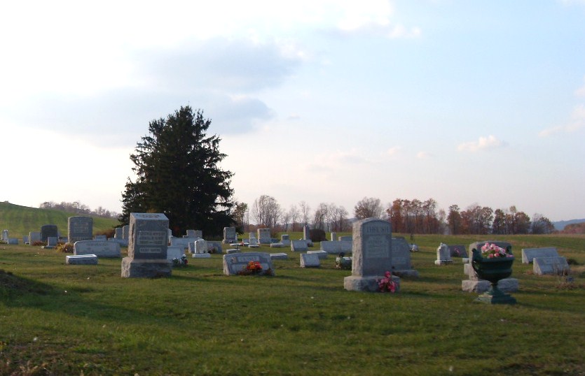
| Memorials | : | 3 |
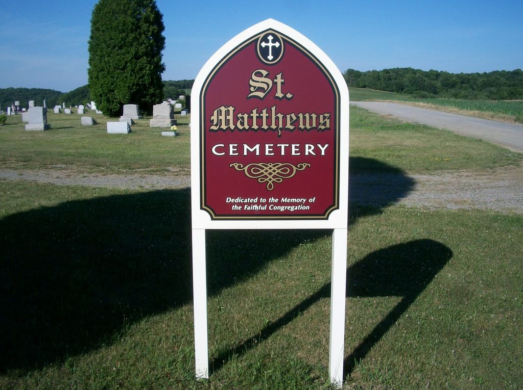
| Location | : | Ramsaytown, Jefferson County, USA |
| Coordinate | : | 41.0742600, -79.0574100 |
frequently asked questions (FAQ):
-
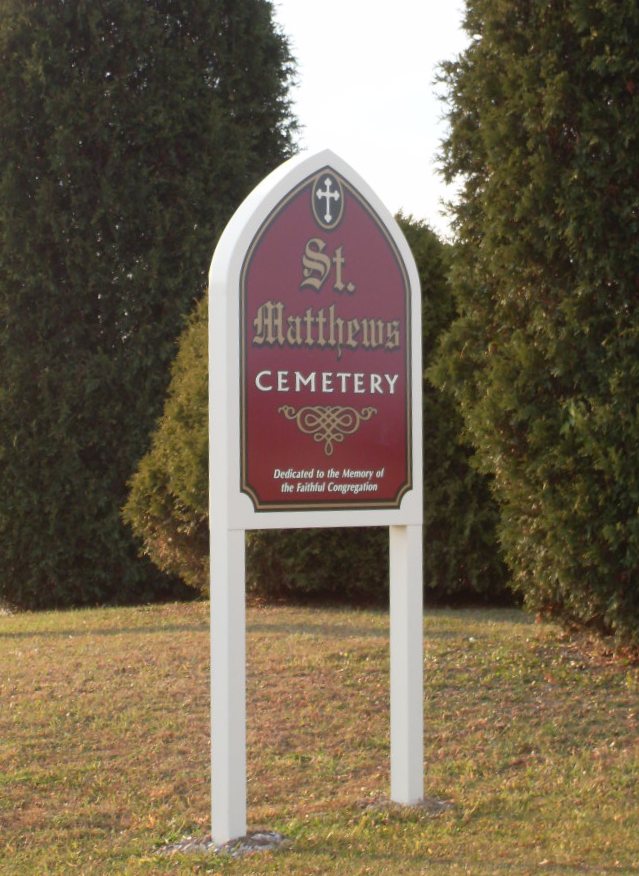
Where is Saint Matthews Evangelical Lutheran Cemetery?
Saint Matthews Evangelical Lutheran Cemetery is located at Ramsaytown, Jefferson County ,Pennsylvania ,USA.
-
Saint Matthews Evangelical Lutheran Cemetery cemetery's updated grave count on graveviews.com?
3 memorials
-
Where are the coordinates of the Saint Matthews Evangelical Lutheran Cemetery?
Latitude: 41.0742600
Longitude: -79.0574100
Nearby Cemetories:
1. Ramsaytown United Methodist Cemetery
Ramsaytown, Jefferson County, USA
Coordinate: 41.0799000, -79.0792000
2. Knoxdale Mount Pleasant Cemetery
Knox Dale, Jefferson County, USA
Coordinate: 41.0911903, -79.0241013
3. Center Hill Cemetery
Jefferson County, USA
Coordinate: 41.0705185, -79.0066376
4. Beaver Run Cemetery
Stanton, Jefferson County, USA
Coordinate: 41.0734634, -79.1145248
5. Saint Pauls Lutheran Cemetery
Coolspring, Jefferson County, USA
Coordinate: 41.0328170, -79.0810670
6. Coolspring Cemetery
Coolspring, Jefferson County, USA
Coordinate: 41.0339012, -79.0847015
7. Meade Chapel Cemetery
Knox Township, Jefferson County, USA
Coordinate: 41.1163000, -79.0259000
8. Cliff United Methodist Church Cemetery
Langville, Jefferson County, USA
Coordinate: 41.0545000, -79.1246000
9. Saint Johns Cemetery
Stanton, Jefferson County, USA
Coordinate: 41.1091995, -79.1136017
10. Burkett Hollow Cemetery
Markton, Jefferson County, USA
Coordinate: 41.0175000, -79.0575000
11. Mauk Cemetery
Jefferson County, USA
Coordinate: 41.0241600, -79.1097200
12. Markton Cemetery
Markton, Jefferson County, USA
Coordinate: 41.0101000, -79.0605000
13. Conifer Cemetery
Jefferson County, USA
Coordinate: 41.0828018, -79.1427994
14. Saint Marys Immaculate Conception Cemetery New
Brookville, Jefferson County, USA
Coordinate: 41.1444016, -79.0896988
15. Milliron Cemetery
Emerickville, Jefferson County, USA
Coordinate: 41.1227000, -78.9821000
16. Mount Pleasant United Methodist Cemetery
Summerville, Jefferson County, USA
Coordinate: 41.1098000, -79.1452000
17. Old Saint Mary's Catholic Cemetery
Brookville, Jefferson County, USA
Coordinate: 41.1472000, -79.0876000
18. Barton Chapel Cemetery
Sprankle Mills, Jefferson County, USA
Coordinate: 41.0026054, -79.0983047
19. Moore Cemetery
Emerickville, Jefferson County, USA
Coordinate: 41.1178017, -78.9669037
20. Emerickville Lutheran Cemetery
Emerickville, Jefferson County, USA
Coordinate: 41.1321259, -78.9805374
21. Ohl Cemetery
Ohl, Jefferson County, USA
Coordinate: 41.0833000, -79.1656000
22. Andrew Barnett Gravesite
Port Barnett, Jefferson County, USA
Coordinate: 41.1562620, -79.0531080
23. Church of God Cemetery
Emerickville, Jefferson County, USA
Coordinate: 41.1389618, -78.9900055
24. Worthville Cemetery
Worthville, Jefferson County, USA
Coordinate: 41.0207062, -79.1404419