
| Memorials | : | 0 |
| Location | : | Langville, Jefferson County, USA |
| Coordinate | : | 41.0545000, -79.1246000 |
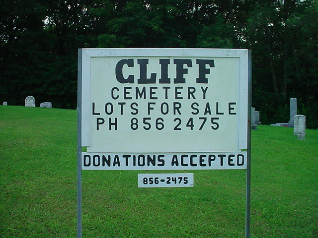
| Description | : | Near the intersections of Cliff Road and Byers Hill Road. |
frequently asked questions (FAQ):
-
Where is Cliff United Methodist Church Cemetery?
Cliff United Methodist Church Cemetery is located at Langville, Jefferson County ,Pennsylvania ,USA.
-
Cliff United Methodist Church Cemetery cemetery's updated grave count on graveviews.com?
0 memorials
-
Where are the coordinates of the Cliff United Methodist Church Cemetery?
Latitude: 41.0545000
Longitude: -79.1246000
Nearby Cemetories:
1. Beaver Run Cemetery
Stanton, Jefferson County, USA
Coordinate: 41.0734634, -79.1145248
2. Conifer Cemetery
Jefferson County, USA
Coordinate: 41.0828018, -79.1427994
3. Minteer-McClatchy Burial Site
Worthville, Jefferson County, USA
Coordinate: 41.0291250, -79.1503140
4. Mauk Cemetery
Jefferson County, USA
Coordinate: 41.0241600, -79.1097200
5. Bethlehem Lutheran Cemetery
Ohl, Jefferson County, USA
Coordinate: 41.0583992, -79.1675415
6. Worthville Cemetery
Worthville, Jefferson County, USA
Coordinate: 41.0207062, -79.1404419
7. Coolspring Cemetery
Coolspring, Jefferson County, USA
Coordinate: 41.0339012, -79.0847015
8. Zion Cemetery
Langville, Jefferson County, USA
Coordinate: 41.0539017, -79.1753006
9. Saint Pauls Lutheran Cemetery
Coolspring, Jefferson County, USA
Coordinate: 41.0328170, -79.0810670
10. Ohl Cemetery
Ohl, Jefferson County, USA
Coordinate: 41.0833000, -79.1656000
11. Langville United Methodist Cemetery
Jefferson County, USA
Coordinate: 41.0373000, -79.1763000
12. Ramsaytown United Methodist Cemetery
Ramsaytown, Jefferson County, USA
Coordinate: 41.0799000, -79.0792000
13. Saint Matthews Evangelical Lutheran Cemetery
Ramsaytown, Jefferson County, USA
Coordinate: 41.0742600, -79.0574100
14. Saint Johns Cemetery
Stanton, Jefferson County, USA
Coordinate: 41.1091995, -79.1136017
15. Barton Chapel Cemetery
Sprankle Mills, Jefferson County, USA
Coordinate: 41.0026054, -79.0983047
16. Mount Pleasant United Methodist Cemetery
Summerville, Jefferson County, USA
Coordinate: 41.1098000, -79.1452000
17. Burkett Hollow Cemetery
Markton, Jefferson County, USA
Coordinate: 41.0175000, -79.0575000
18. Carrier Cemetery
Summerville, Jefferson County, USA
Coordinate: 41.1077995, -79.1691971
19. Smith Cemetery
Heathville, Jefferson County, USA
Coordinate: 41.0867004, -79.1996994
20. Vandervort Cemetery
Summerville, Jefferson County, USA
Coordinate: 41.1027985, -79.1828003
21. Markton Cemetery
Markton, Jefferson County, USA
Coordinate: 41.0101000, -79.0605000
22. Ringgold United Methodist Church Cemetery
Ringgold, Jefferson County, USA
Coordinate: 40.9932137, -79.1680603
23. Old Ebenezer Cemetery
Jefferson County, USA
Coordinate: 40.9846000, -79.1208600
24. North Freedom United Methodist Church Cemetery
North Freedom, Jefferson County, USA
Coordinate: 41.0229073, -79.2080383