| Memorials | : | 0 |
| Location | : | Fergus, Wellington County, Canada |
| Coordinate | : | 43.7024918, -80.3827591 |
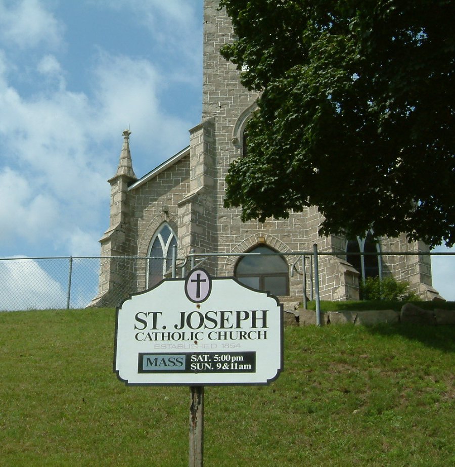
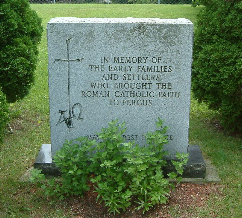
| Description | : | St. Joseph's Catholic Church & Cemetery was consecrated on August 1st, 1869 by Bishop Farrell of Hamilton. Even with Fergus' relatively small Catholic population--Fergus residents were overwhelmingly Scotch and most commonly Presbyterian--the small church yard at St. Joseph's soon outgrew its use. In May 1872 St. Joesph's became a satellite mission of the larger congregation at St. Mary's in Elora, where most weddings, confirmations and funerals were soon held. Interments were also switched to the much larger St. Mary's Cemetery on the outskirts of Elora. History claims that 53 souls remain at St. Joseph's--I have photographed all remaining stones, the... Read More |
frequently asked questions (FAQ):
-
Where is Saint Joseph's Catholic Cemetery?
Saint Joseph's Catholic Cemetery is located at 445 St. Patrick Street, West Fergus, Wellington County ,Ontario ,Canada.
-
Saint Joseph's Catholic Cemetery cemetery's updated grave count on graveviews.com?
0 memorials
-
Where are the coordinates of the Saint Joseph's Catholic Cemetery?
Latitude: 43.7024918
Longitude: -80.3827591
Nearby Cemetories:
1. Saint Andrews Auld Presbyterian Kirkyard
Fergus, Wellington County, Canada
Coordinate: 43.7042122, -80.3811722
2. Belsyde Cemetery
Fergus, Wellington County, Canada
Coordinate: 43.7063522, -80.3686829
3. Wellington County Cemetery
Elora, Wellington County, Canada
Coordinate: 43.6913500, -80.3954600
4. House of Industry & Refuge Cemetery
Fergus, Wellington County, Canada
Coordinate: 43.6905910, -80.3943440
5. Saint John the Evangelist Anglican Cairn
Elora, Wellington County, Canada
Coordinate: 43.6756940, -80.4300500
6. Elora Cemetery
Elora, Wellington County, Canada
Coordinate: 43.6876259, -80.4413986
7. St. Mary's Roman Catholic Cemetery
Elora, Wellington County, Canada
Coordinate: 43.6868510, -80.4414870
8. Mount Pleasant Cemetery
Centre Wellington Township, Wellington County, Canada
Coordinate: 43.6436000, -80.3141000
9. Mount Carmel Cemetery
Belwood, Wellington County, Canada
Coordinate: 43.7967320, -80.3501690
10. Bethel Mennonite Cemetery
Elora, Wellington County, Canada
Coordinate: 43.6720009, -80.5111160
11. Johnson-Eramosa Union Cemetery
Eramosa Township, Wellington County, Canada
Coordinate: 43.6515600, -80.2516100
12. Maple View Mennonite Cemetery
Alma, Wellington County, Canada
Coordinate: 43.7482990, -80.5179980
13. McKee Cemetery
Craigsholme, Dufferin County, Canada
Coordinate: 43.7811600, -80.2775700
14. Bloomsbury Methodist Cemetery
Centre Wellington Township, Wellington County, Canada
Coordinate: 43.7020810, -80.5405760
15. Calvary Conservative Mennonite Cemetery
Woolwich Township, Waterloo Regional Municipality, Canada
Coordinate: 43.6695709, -80.5437622
16. McCormick Cemetery
Eramosa Township, Wellington County, Canada
Coordinate: 43.6347500, -80.2403300
17. Sandhills Baptist Cemetery
Woolwich Township, Waterloo Regional Municipality, Canada
Coordinate: 43.6476440, -80.5368670
18. Mimosa Union Cemetery
Mimosa, Wellington County, Canada
Coordinate: 43.7456690, -80.2202533
19. West Montrose Mennonite Meeting House Cemetery
West Montrose, Waterloo Regional Municipality, Canada
Coordinate: 43.5967293, -80.4791183
20. Creek Bank Mennonite Cemetery
Creek Bank, Wellington County, Canada
Coordinate: 43.6863861, -80.5634460
21. West Montrose United Church Cemetery
West Montrose, Waterloo Regional Municipality, Canada
Coordinate: 43.5900917, -80.4815063
22. Saint Anthony's Roman Catholic Cemetery
Peel Township, Wellington County, Canada
Coordinate: 43.7419800, -80.5709000
23. Saint Pauls Evangelical Lutheran Cemetery
Waterloo Regional Municipality, Canada
Coordinate: 43.5935360, -80.5088050
24. Winterbourne Mennonite Cemetery
Winterbourne, Waterloo Regional Municipality, Canada
Coordinate: 43.5704422, -80.4729614


