
| Memorials | : | 696 |
| Location | : | Garnavillo, Clayton County, USA |
| Coordinate | : | 42.8628006, -91.2502975 |
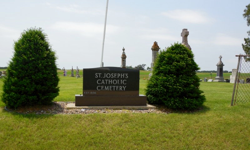
| Description | : | The cemetery is located on the south side of 250th Street (County Road C17) about 0.25 miles west of Burroak Lane. The U.S. Geological Survey (USGS) Geographic Names Information System (GNIS) feature ID for the cemetery is 461084 (Saint Joseph Cemetery). |
frequently asked questions (FAQ):
-
Where is Saint Joseph Cemetery?
Saint Joseph Cemetery is located at 250th Street (County Road C17) Garnavillo, Clayton County ,Iowa , 52049USA.
-
Saint Joseph Cemetery cemetery's updated grave count on graveviews.com?
696 memorials
-
Where are the coordinates of the Saint Joseph Cemetery?
Latitude: 42.8628006
Longitude: -91.2502975
Nearby Cemetories:
1. Garnavillo Community Cemetery
Garnavillo, Clayton County, USA
Coordinate: 42.8656000, -91.2422100
2. Garnavillo Cemetery
Garnavillo, Clayton County, USA
Coordinate: 42.8660300, -91.2390100
3. McClelland Cemetery
Garnavillo, Clayton County, USA
Coordinate: 42.8249879, -91.2084641
4. Clayton Center Cemetery
Clayton Center, Clayton County, USA
Coordinate: 42.8841705, -91.3225021
5. Zion Lutheran Cemetery
Clayton Center, Clayton County, USA
Coordinate: 42.8841705, -91.3249969
6. Pioneer Rock Cemetery
Ceres, Clayton County, USA
Coordinate: 42.8230591, -91.1863937
7. Clayton Cemetery
Clayton, Clayton County, USA
Coordinate: 42.9043999, -91.1641998
8. Saint Michael Cemetery
Clayton County, USA
Coordinate: 42.8055992, -91.1802979
9. County Home Cemetery
Clayton Center, Clayton County, USA
Coordinate: 42.8916702, -91.3499985
10. Tangeman Family Cemetery
Garnavillo, Clayton County, USA
Coordinate: 42.8580000, -91.1420000
11. Krumm Cemetery
Garber, Clayton County, USA
Coordinate: 42.7913760, -91.3023559
12. Colony Catholic Cemetery (Defunct)
Read Township, Clayton County, USA
Coordinate: 42.8830000, -91.3580000
13. Borcherding Cemetery
Jefferson Township, Clayton County, USA
Coordinate: 42.8182983, -91.1414032
14. National Cemetery
National, Clayton County, USA
Coordinate: 42.9536018, -91.2902985
15. Meenan Cemetery
Communia, Clayton County, USA
Coordinate: 42.7999862, -91.3584693
16. Storck Cemetery
Guttenberg, Clayton County, USA
Coordinate: 42.7694335, -91.1834638
17. Saint Paula Cemetery
Osterdock, Clayton County, USA
Coordinate: 42.7635994, -91.1992035
18. Old Garber Cemetery
Garber, Clayton County, USA
Coordinate: 42.7560005, -91.2580032
19. Elkader Cemetery
Elkader, Clayton County, USA
Coordinate: 42.8541718, -91.4000015
20. Hartman Cemetery
Cox Creek Township, Clayton County, USA
Coordinate: 42.8155360, -91.3880840
21. Harford Cemetery
Wyalusing, Grant County, USA
Coordinate: 42.9401000, -91.1401800
22. Saint Josephs Cemetery
Elkader, Clayton County, USA
Coordinate: 42.8488998, -91.4021988
23. Communia Cemetery
Volga Township, Clayton County, USA
Coordinate: 42.7868996, -91.3630981
24. Norwegian Church Cemetery
McGregor, Clayton County, USA
Coordinate: 42.9644400, -91.1764100