
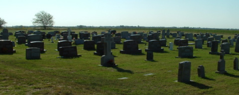
| Memorials | : | 27 |
| Location | : | Ost, Reno County, USA |
| Coordinate | : | 37.7485100, -97.7316550 |
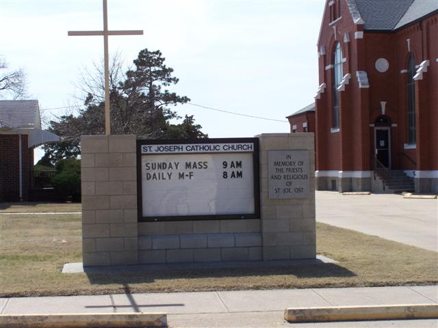
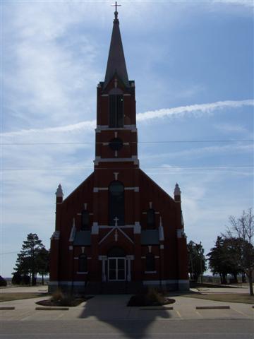
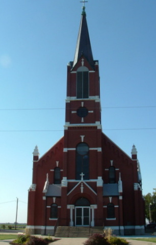
| Description | : | located 9 miles S/W of Andale near corner of Maple Grove Rd and Ryal Rd. The following was taken from the 100 years 1880 - 1980 book of Ost Kansas. "One of their first challenges presented itself - what to name their new community. Without hesitation, they selected the name "Ast" after the shortest name among them, which belonged to two of the group. The name became "Ost" partly due to a misinterpretation by someone in the U.S. Postal System. Frederick Ast, one of the early postmasters, wrote his capital A much like a capital O, with the loop... Read More |
frequently asked questions (FAQ):
-
Where is Saint Joseph Church Cemetery?
Saint Joseph Church Cemetery is located at 13015 E Maple Grove Rd Ost, Reno County ,Kansas , 67108USA.
-
Saint Joseph Church Cemetery cemetery's updated grave count on graveviews.com?
27 memorials
-
Where are the coordinates of the Saint Joseph Church Cemetery?
Latitude: 37.7485100
Longitude: -97.7316550
Nearby Cemetories:
1. Antioch Cemetery
Reno County, USA
Coordinate: 37.7850490, -97.7360050
2. Mulkey Cemetery
Garden Plain, Sedgwick County, USA
Coordinate: 37.7071495, -97.6878967
3. Mount Vernon Cemetery
Mount Vernon, Kingman County, USA
Coordinate: 37.7043991, -97.8158035
4. Saint Marys Cemetery
Garden Plain, Sedgwick County, USA
Coordinate: 37.7068300, -97.6430500
5. Saint Paul Lutheran Cemetery
Cheney, Sedgwick County, USA
Coordinate: 37.6628000, -97.7424500
6. Saint Joseph Cemetery
Andale, Sedgwick County, USA
Coordinate: 37.7938004, -97.6376038
7. Saint Rose Cemetery
Mount Vernon, Kingman County, USA
Coordinate: 37.7175598, -97.8449936
8. Saint Anthony Cemetery
Garden Plain, Sedgwick County, USA
Coordinate: 37.6535988, -97.6838989
9. Calvary Methodist Cemetery
Garden Plain, Sedgwick County, USA
Coordinate: 37.6528015, -97.6841965
10. Pleasant Hill Cemetery
Reno County, USA
Coordinate: 37.7569008, -97.8621979
11. Pioneer Cemetery
Cheney, Sedgwick County, USA
Coordinate: 37.6471300, -97.7861400
12. Mount Hope Cemetery
Mount Hope, Sedgwick County, USA
Coordinate: 37.8546982, -97.6744003
13. Haven Priest Cemetery
Haven, Reno County, USA
Coordinate: 37.8685989, -97.7457962
14. Saint Marks Cemetery
Saint Marks, Sedgwick County, USA
Coordinate: 37.7363014, -97.5613022
15. Fairview Cemetery
Cheney, Sedgwick County, USA
Coordinate: 37.6194000, -97.7861023
16. Sacred Heart Catholic Cemetery
Colwich, Sedgwick County, USA
Coordinate: 37.7798004, -97.5447006
17. Pleasant Ridge Cemetery
Goddard, Sedgwick County, USA
Coordinate: 37.6777992, -97.5627975
18. Afton Cemetery
Goddard, Sedgwick County, USA
Coordinate: 37.6338997, -97.6057968
19. Saint Pauls Lutheran Church Cemetery
Haven, Reno County, USA
Coordinate: 37.8974410, -97.7939490
20. Vinita Cemetery
Lansdowne, Kingman County, USA
Coordinate: 37.6157990, -97.8610992
21. Eldridge Cemetery
Colwich, Sedgwick County, USA
Coordinate: 37.8166008, -97.5372009
22. Waterloo Cemetery
Kingman County, USA
Coordinate: 37.6828003, -97.9364014
23. Saint Louis Cemetery
Waterloo, Kingman County, USA
Coordinate: 37.6814003, -97.9364014
24. Star Cemetery
Patterson, Harvey County, USA
Coordinate: 37.9263687, -97.6833878