
| Memorials | : | 0 |
| Location | : | Patterson, Harvey County, USA |
| Coordinate | : | 37.9263687, -97.6833878 |
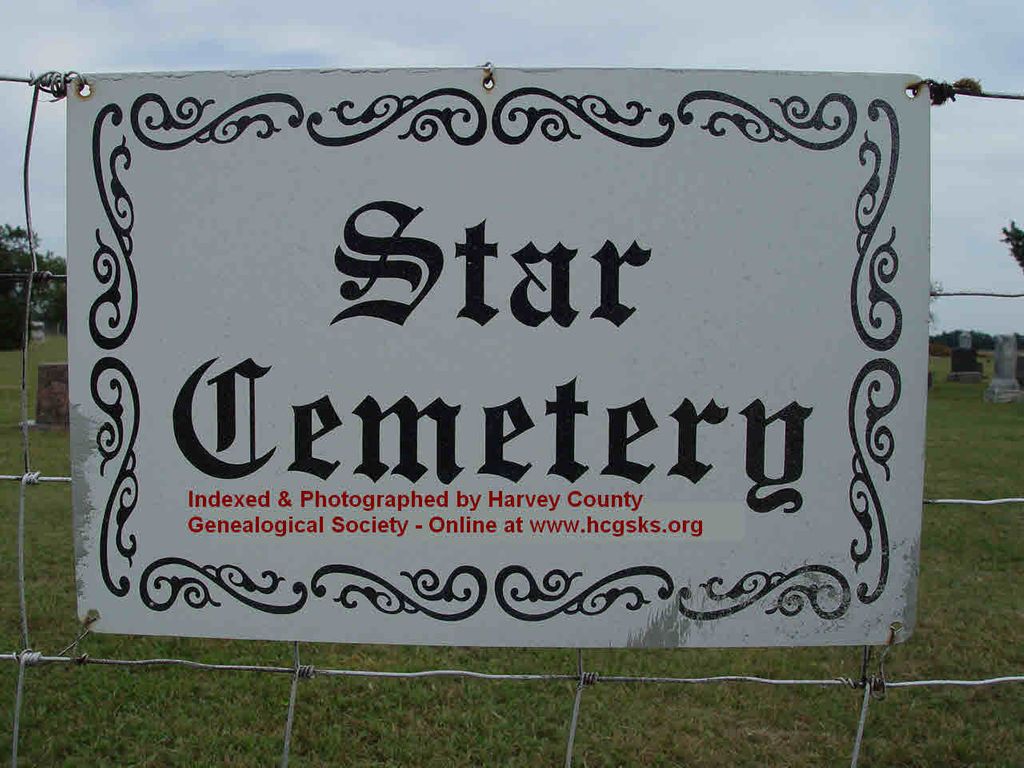
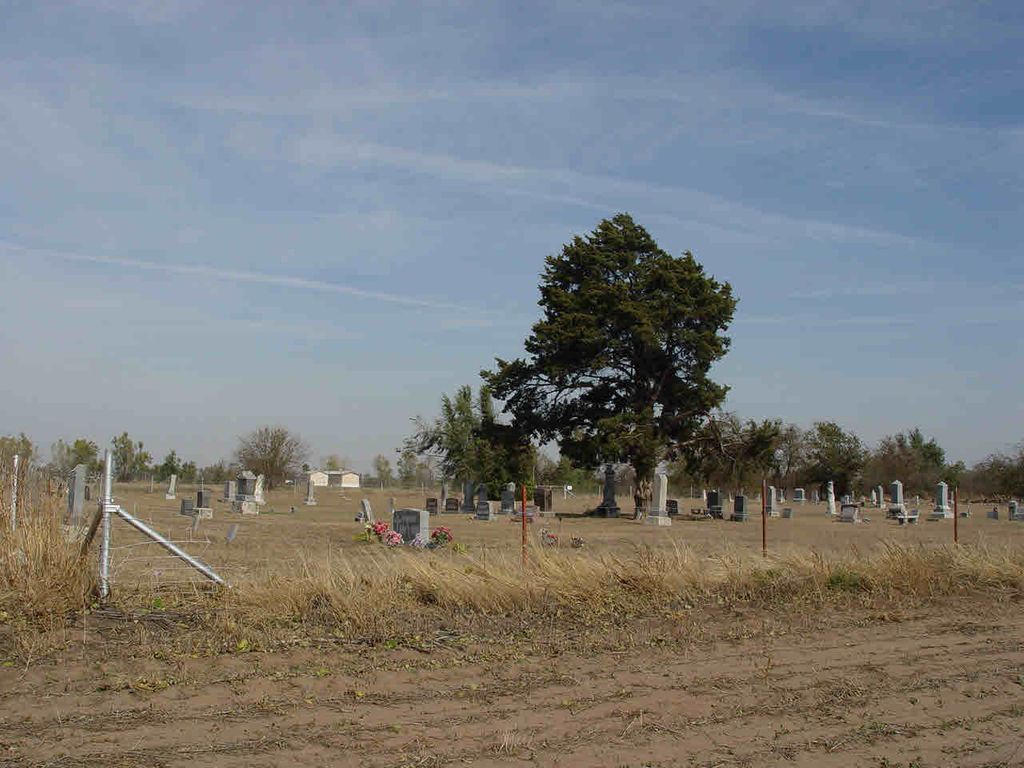
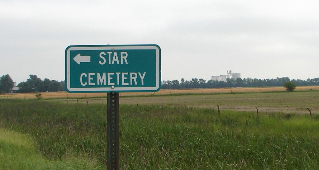
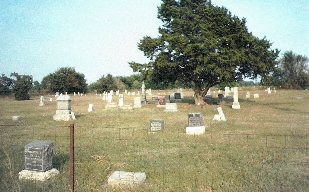
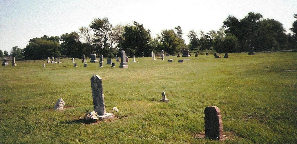
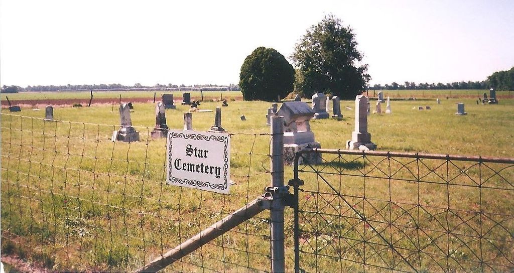
| Description | : | Star Cemetery is located on the southeast corner of Wheatstate Road and S. W. 96th Street. To find the cemetery go 4 miles north of the town of Mt. Hope on Burmac Road (279th St. West, also known as Road 785), then travel 1 mile west on S. W. 96th Street. In 2000, I (Larry E. Barnes) purchased and placed these 2 Star Cemetery signs on the north and west fences because there wasn't anything showing what this cemetery was called. Burials still occur here mainly to be laid to rest near family members. These people led interesting lives and... Read More |
frequently asked questions (FAQ):
-
Where is Star Cemetery?
Star Cemetery is located at Located on the southeast corner of Wheatstate Road and S. W. 96th Street. Patterson, Harvey County ,Kansas ,USA.
-
Star Cemetery cemetery's updated grave count on graveviews.com?
0 memorials
-
Where are the coordinates of the Star Cemetery?
Latitude: 37.9263687
Longitude: -97.6833878
Nearby Cemetories:
1. Hunt Cemetery
Patterson, Harvey County, USA
Coordinate: 37.9413000, -97.6657000
2. Valley Township Cemetery
Haven, Reno County, USA
Coordinate: 37.9491550, -97.7474530
3. Mount Hope Cemetery
Mount Hope, Sedgwick County, USA
Coordinate: 37.8546982, -97.6744003
4. Haven Priest Cemetery
Haven, Reno County, USA
Coordinate: 37.8685989, -97.7457962
5. Burrton Cemetery
Burrton, Harvey County, USA
Coordinate: 38.0150757, -97.6750793
6. Saint Pauls Lutheran Church Cemetery
Haven, Reno County, USA
Coordinate: 37.8974410, -97.7939490
7. Irons Farm Cemetery
Bentley, Sedgwick County, USA
Coordinate: 37.9072300, -97.5433100
8. Laurel Cemetery
Haven, Reno County, USA
Coordinate: 37.9268990, -97.8394012
9. Yoder Amish Cemetery
Yoder, Reno County, USA
Coordinate: 37.9412330, -97.8389500
10. Saint Joseph Cemetery
Andale, Sedgwick County, USA
Coordinate: 37.7938004, -97.6376038
11. Old Halstead Cemetery
Harvey County, USA
Coordinate: 38.0067350, -97.5297160
12. Yoder Mennonite Church Cemetery
Yoder, Reno County, USA
Coordinate: 37.9546300, -97.8662800
13. Antioch Cemetery
Reno County, USA
Coordinate: 37.7850490, -97.7360050
14. Eldridge Cemetery
Colwich, Sedgwick County, USA
Coordinate: 37.8166008, -97.5372009
15. Pleasant Valley Cemetery
Bentley, Sedgwick County, USA
Coordinate: 37.8837013, -97.4819031
16. Fairview Cemetery
Elmer, Reno County, USA
Coordinate: 37.9631004, -97.9021988
17. Halstead Cemetery
Halstead, Harvey County, USA
Coordinate: 38.0264015, -97.4989014
18. Halstead Cemetery Mausoleum
Halstead, Harvey County, USA
Coordinate: 38.0287000, -97.5002400
19. Saint Joseph Church Cemetery
Ost, Reno County, USA
Coordinate: 37.7485100, -97.7316550
20. Sacred Heart Catholic Cemetery
Colwich, Sedgwick County, USA
Coordinate: 37.7798004, -97.5447006
21. Fairview Cemetery
Harvey County, USA
Coordinate: 38.0574100, -97.5186100
22. Fairlawn Burial Park
Hutchinson, Reno County, USA
Coordinate: 38.0457993, -97.8867035
23. Reformatory Cemetery
Hutchinson, Reno County, USA
Coordinate: 38.0433430, -97.9042120
24. Garden View Mennonite Church Cemetery
Hesston, Harvey County, USA
Coordinate: 38.0874400, -97.5128900