
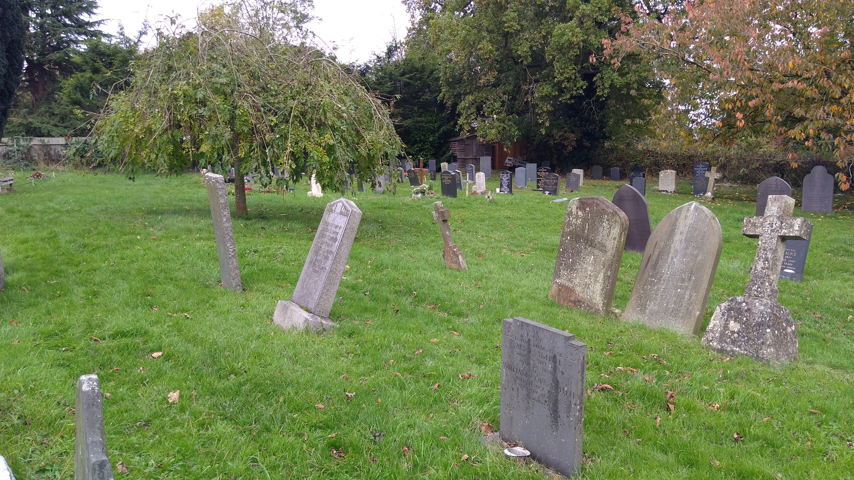
| Memorials | : | 441 |
| Location | : | Gaddesby, Melton Borough, England |
| Coordinate | : | 52.7107200, -0.9805300 |
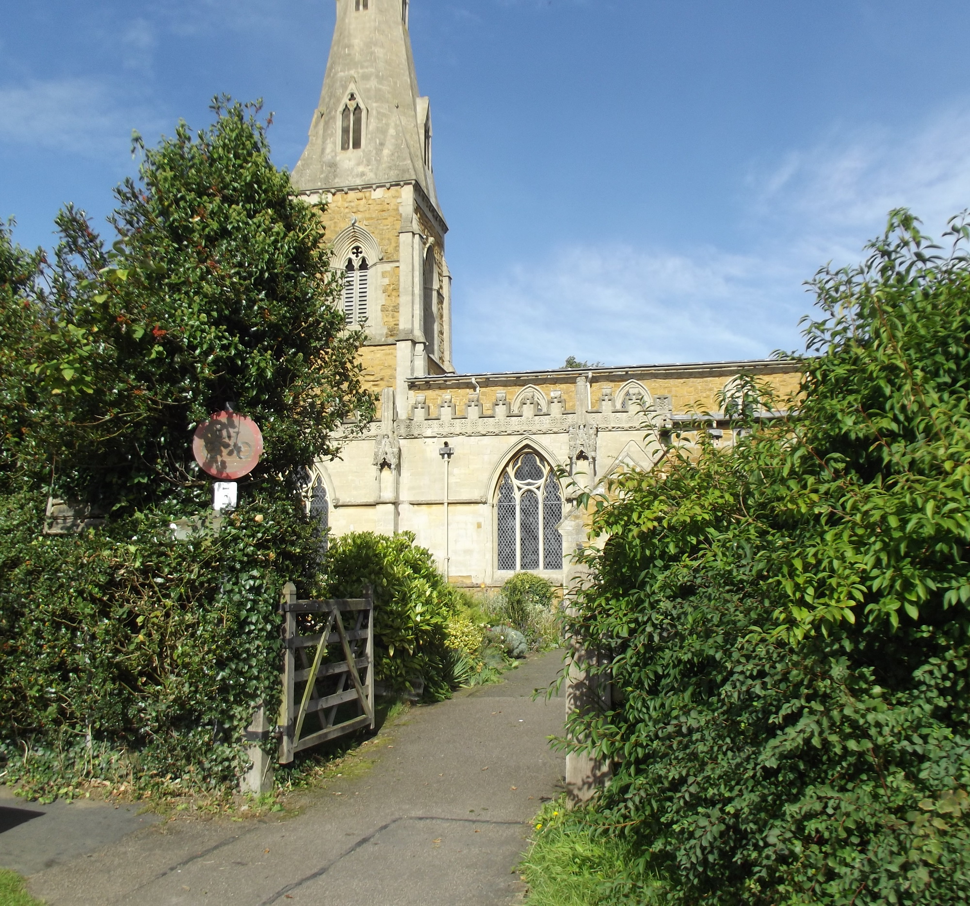
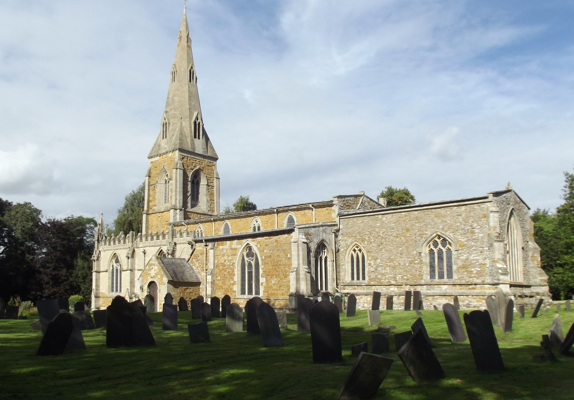
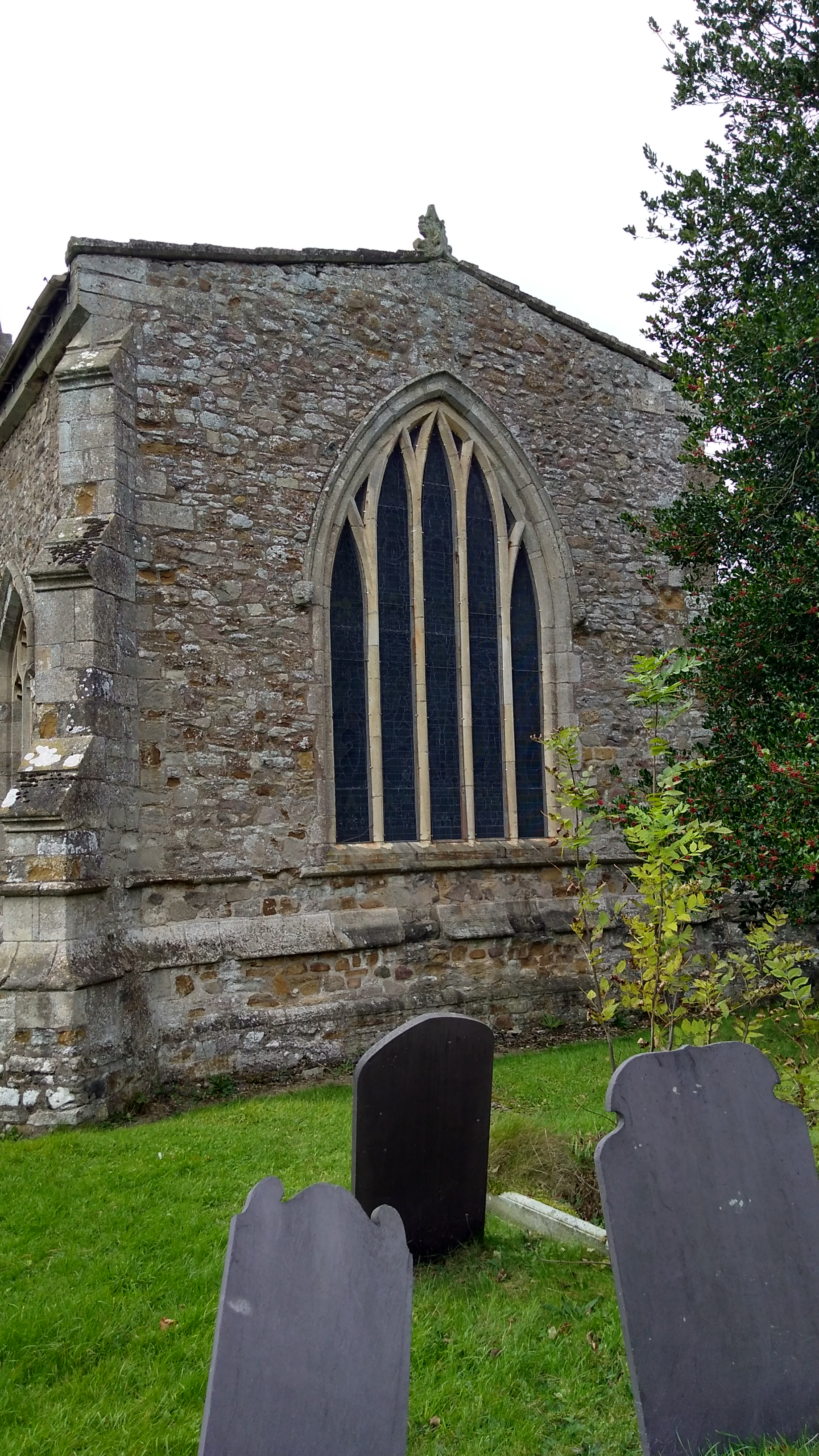
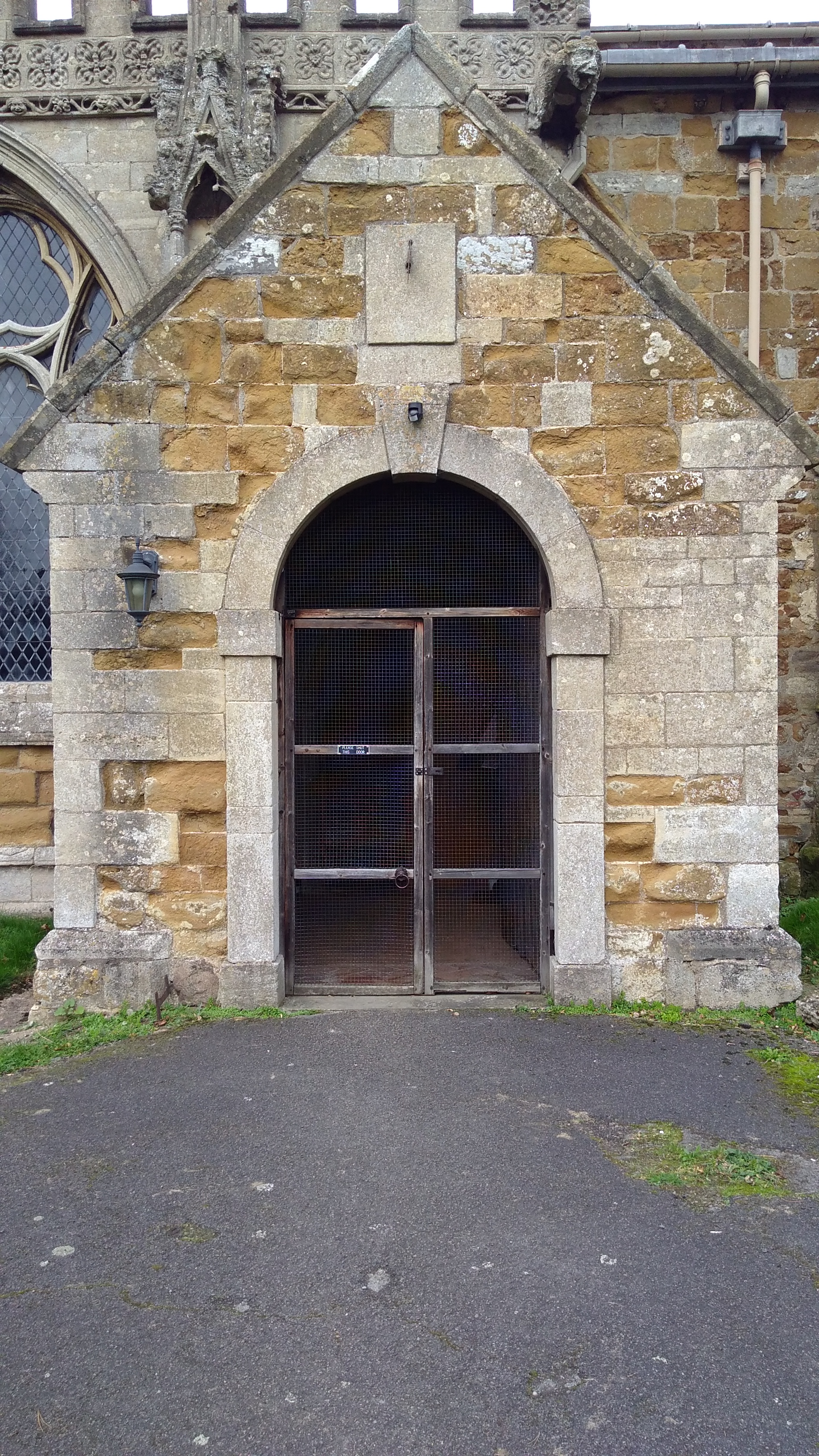
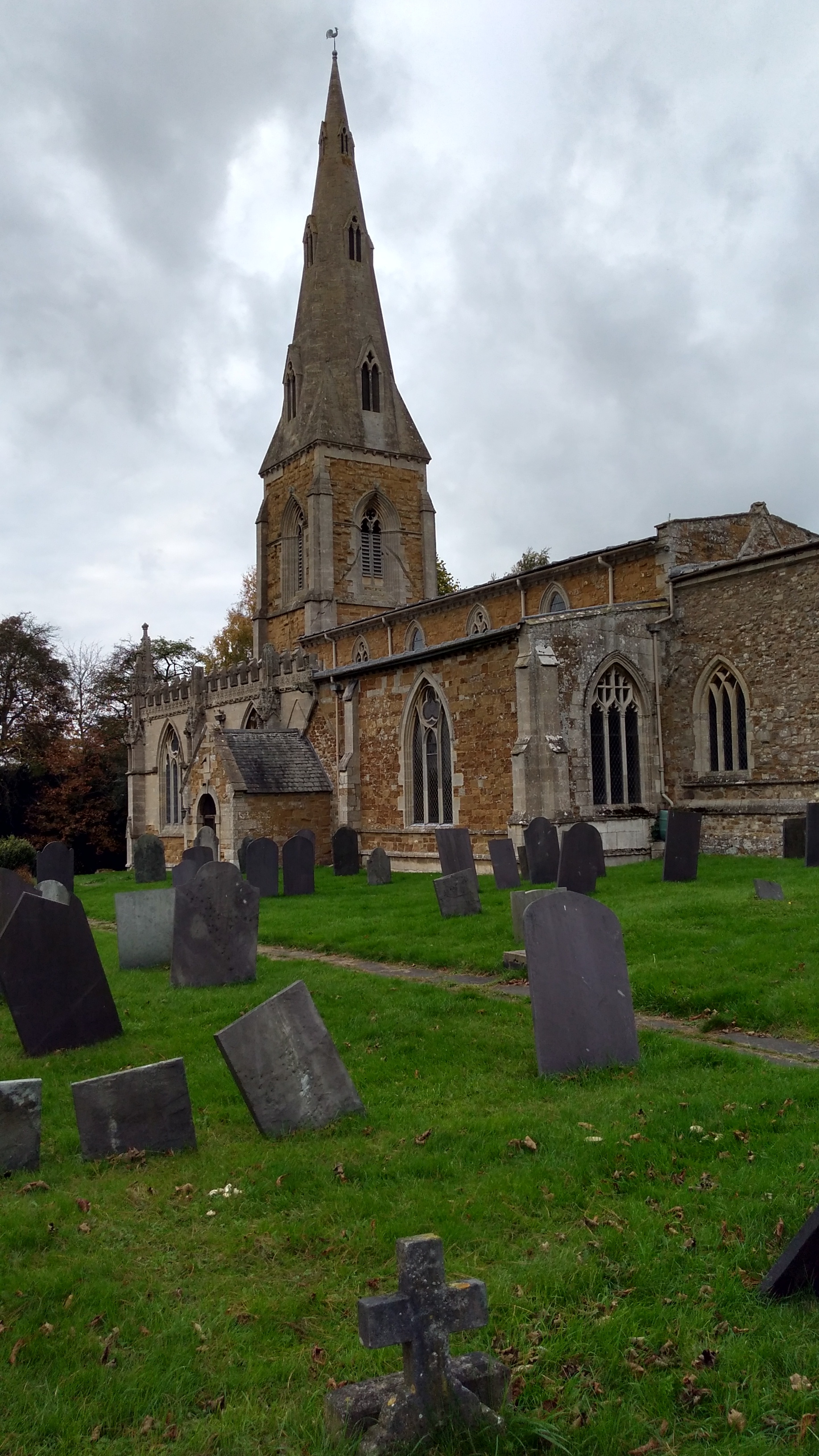
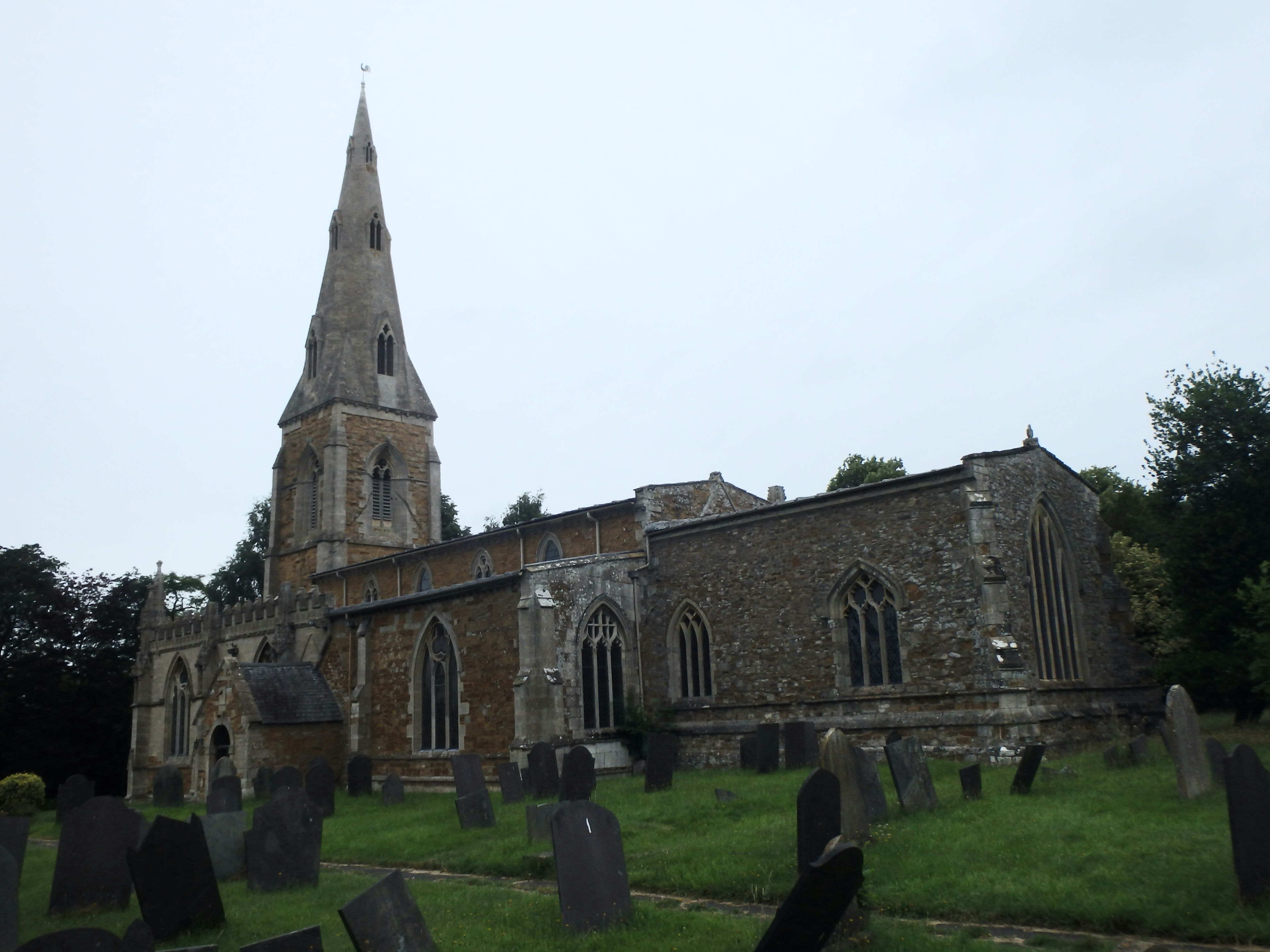
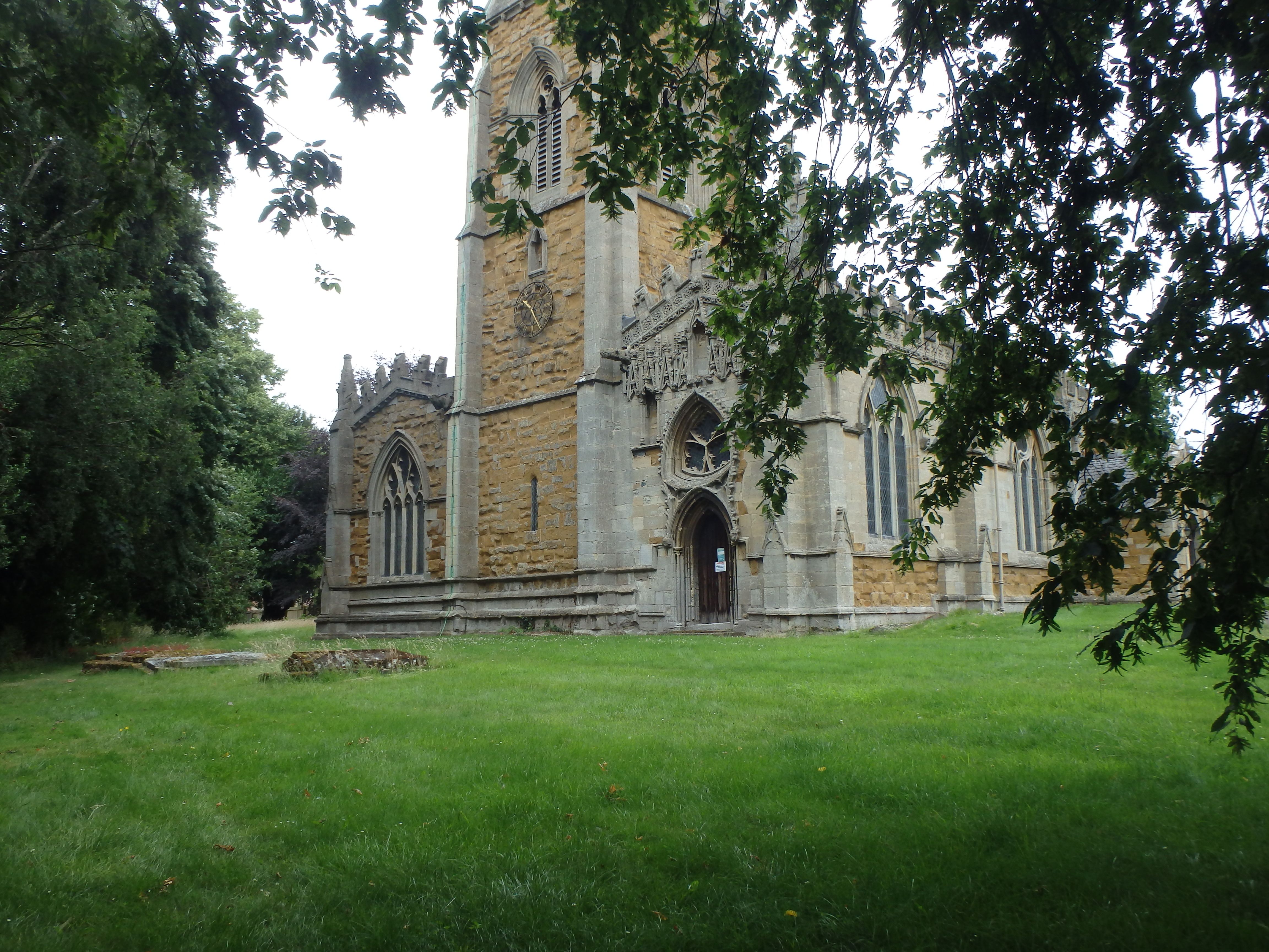
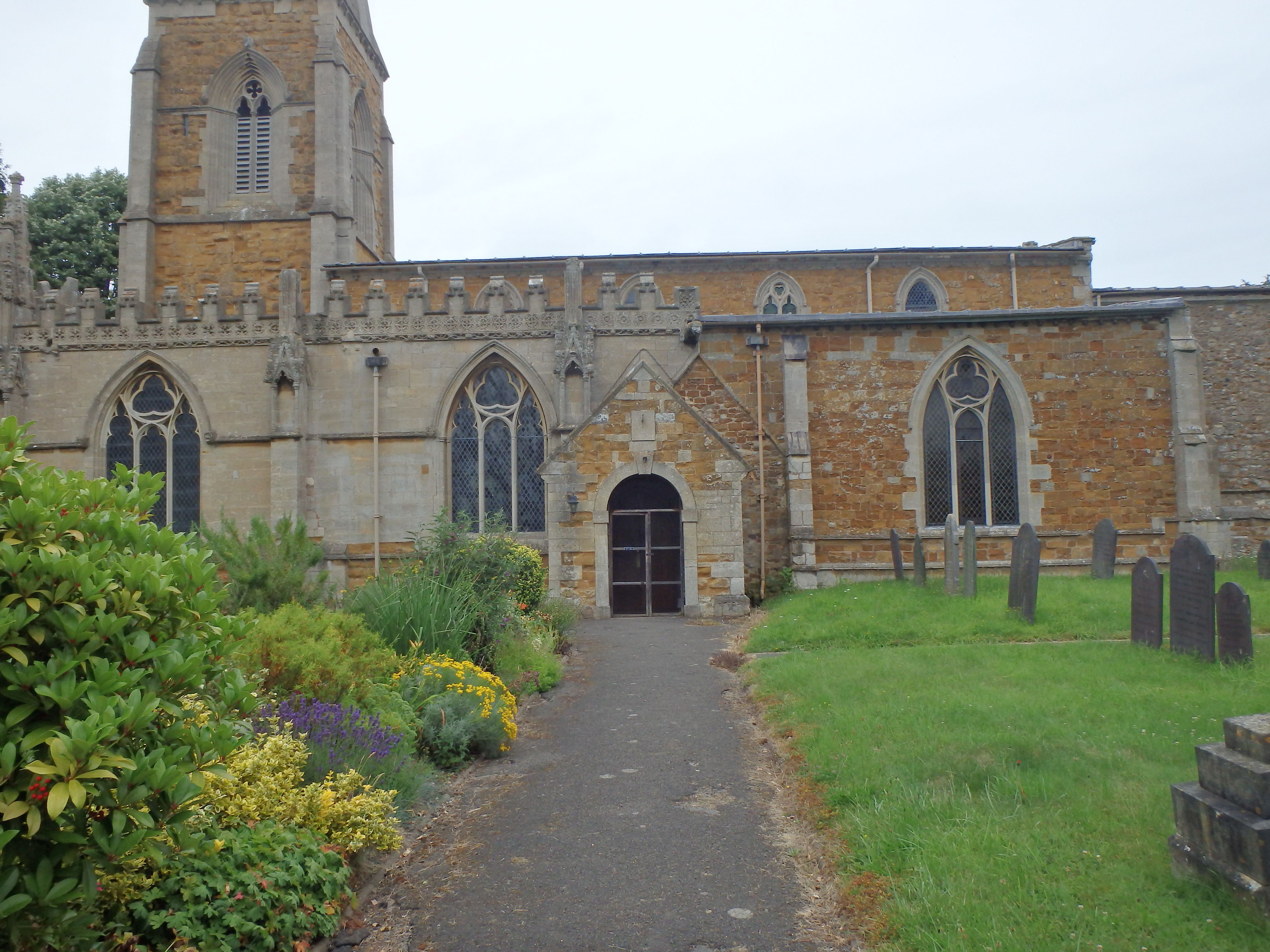
| Description | : | Saint Luke's Church was originally built as a Norman chapel in the early 12c, developed over the next 2 centuries into a much larger church.The church is reputed to have some of the finest examples of fourteenth century stonework in the country which adorn the South West corner on the outside of the Knights Templar's chapel. |
frequently asked questions (FAQ):
-
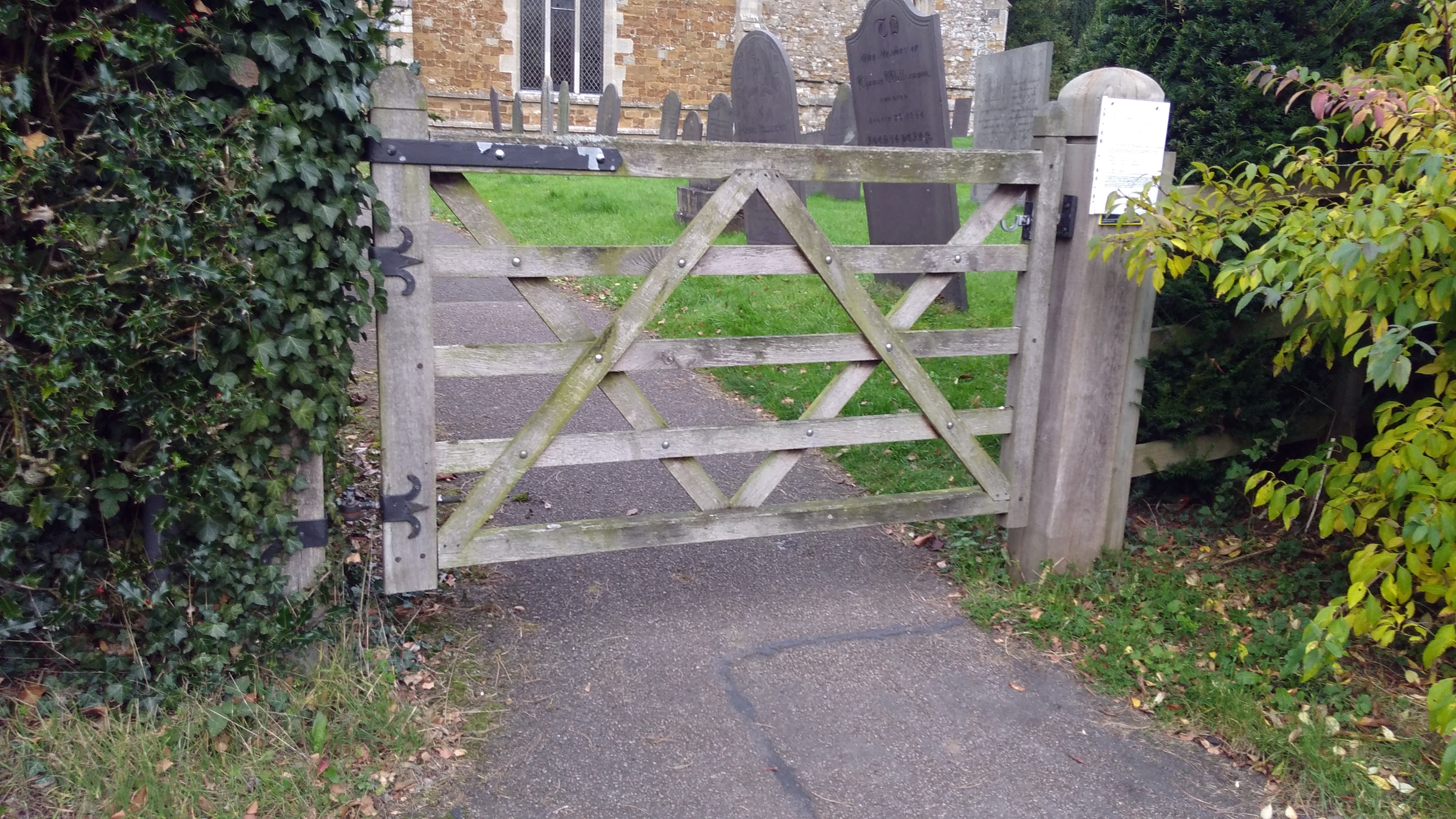
Where is Saint Luke's Churchyard?
Saint Luke's Churchyard is located at Gaddesby, Melton Borough ,Leicestershire ,England.
-
Saint Luke's Churchyard cemetery's updated grave count on graveviews.com?
441 memorials
-
Where are the coordinates of the Saint Luke's Churchyard?
Latitude: 52.7107200
Longitude: -0.9805300
Nearby Cemetories:
1. Ashby Folville Church of St Mary
Melton Mowbray, Melton Borough, England
Coordinate: 52.7009720, -0.9555180
2. St John the Baptist Churchyard
South Croxton, Charnwood Borough, England
Coordinate: 52.6862210, -0.9780790
3. St Michael and All Angels Churchyard, Brooksby Hall
Melton Mowbray, Melton Borough, England
Coordinate: 52.7375450, -1.0076900
4. Queniborough Cemetery
Queniborough, Charnwood Borough, England
Coordinate: 52.7011860, -1.0315250
5. All Saints Churchyard
Rotherby, Melton Borough, England
Coordinate: 52.7423100, -1.0013400
6. St Mary Churchyard
Queniborough, Charnwood Borough, England
Coordinate: 52.7023900, -1.0382700
7. Frisby on the Wreake Parish Council Burial Ground
Frisby on the Wreake, Melton Borough, England
Coordinate: 52.7480480, -0.9801370
8. St Michael and All Angels Churchyard
Rearsby, Charnwood Borough, England
Coordinate: 52.7255100, -1.0373500
9. St Thomas of Canterbury Churchyard
Frisby on the Wreake, Melton Borough, England
Coordinate: 52.7531250, -0.9706940
10. All Saints Churchyard
Hoby, Melton Borough, England
Coordinate: 52.7496100, -1.0101660
11. Holy Trinity Churchyard
Thrussington, Charnwood Borough, England
Coordinate: 52.7359030, -1.0381780
12. St Thomas of Canterbury Churchyard Extension
Frisby on the Wreake, Melton Borough, England
Coordinate: 52.7537270, -0.9698390
13. St Andrew Churchyard
Twyford, Melton Borough, England
Coordinate: 52.6835600, -0.9217660
14. All Saints Churchyard
Beeby, Charnwood Borough, England
Coordinate: 52.6685200, -1.0194000
15. St Swithun Churchyard
Great Dalby, Melton Borough, England
Coordinate: 52.7224510, -0.9027190
16. Saint John the Baptist Churchyard
Hungarton, Harborough District, England
Coordinate: 52.6588480, -0.9797350
17. St Peter Churchyard
Kirby Bellars, Melton Borough, England
Coordinate: 52.7569830, -0.9376920
18. St Botolphs Churchyard
Ratcliffe on the Wreake, Charnwood Borough, England
Coordinate: 52.7248680, -1.0680400
19. Syston Cemetery
Syston, Charnwood Borough, England
Coordinate: 52.6951100, -1.0675000
20. Barkby Cemetery
Barkby, Charnwood Borough, England
Coordinate: 52.6840800, -1.0602200
21. All Saints Churchyard
Asfordby, Melton Borough, England
Coordinate: 52.7635100, -0.9523300
22. Asfordby Loughborough Road Cemetery
Asfordby, Melton Borough, England
Coordinate: 52.7654300, -0.9626900
23. St Mary's Church
Barkby, Charnwood Borough, England
Coordinate: 52.6825100, -1.0599100
24. Saint Peter & Saint Paul's Churchyard
Syston, Charnwood Borough, England
Coordinate: 52.7007410, -1.0746400