
| Memorials | : | 158 |
| Location | : | Barkby, Charnwood Borough, England |
| Coordinate | : | 52.6825100, -1.0599100 |
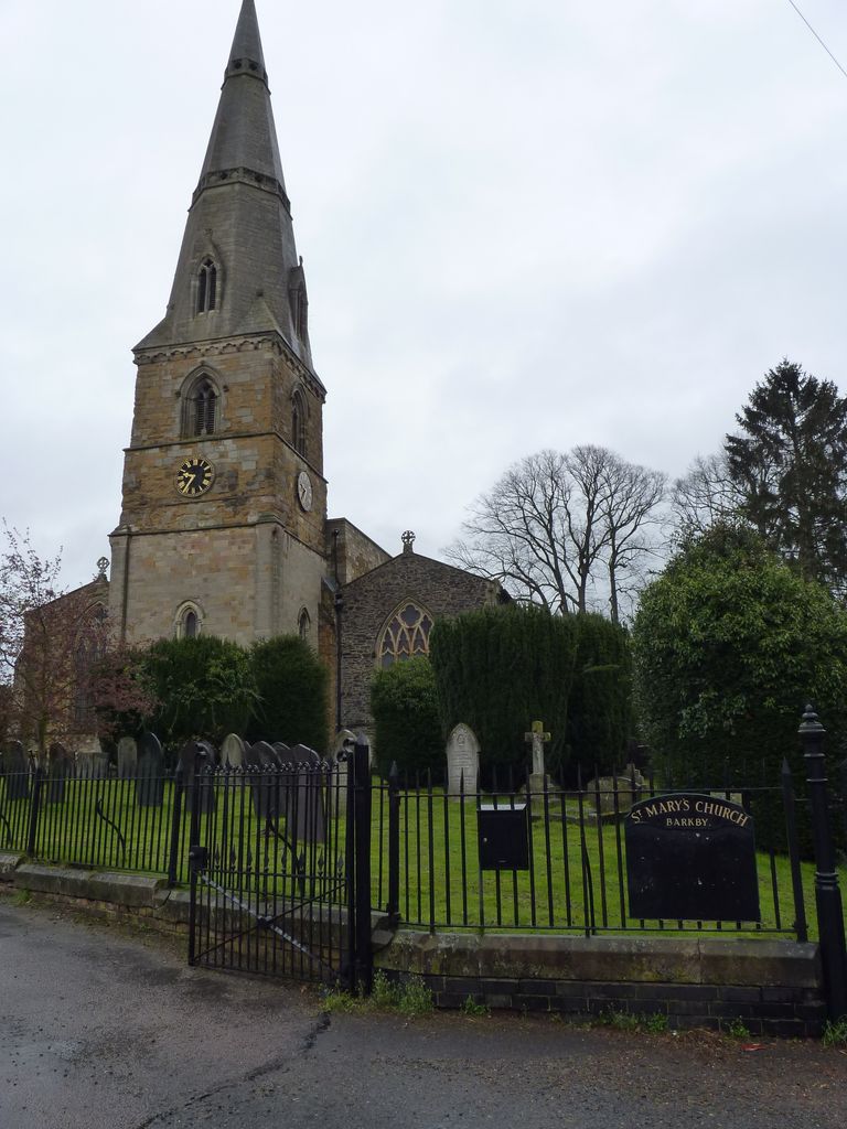
| Description | : | St Mary's is typical of the East Leicestershire type of church built around the 13th & 14th century, although first mentioned in 1200. The clock was replaced in 1887. The graveyard occupies a small area around the church. Most grave stones are very well preserved. |
frequently asked questions (FAQ):
-
Where is St Mary's Church?
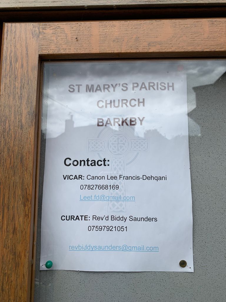
St Mary's Church is located at Main Street Barkby, Charnwood Borough ,Leicestershire , LE7 3QGEngland.
-
St Mary's Church cemetery's updated grave count on graveviews.com?
158 memorials
-
Where are the coordinates of the St Mary's Church?
Latitude: 52.6825100
Longitude: -1.0599100
Nearby Cemetories:
1. Barkby Cemetery
Barkby, Charnwood Borough, England
Coordinate: 52.6840800, -1.0602200
2. Syston Cemetery
Syston, Charnwood Borough, England
Coordinate: 52.6951100, -1.0675000
3. Saint Peter & Saint Paul's Churchyard
Syston, Charnwood Borough, England
Coordinate: 52.7007410, -1.0746400
4. Thurmaston Cemetery
Thurmaston, Charnwood Borough, England
Coordinate: 52.6788150, -1.0948670
5. St Mary Churchyard
Queniborough, Charnwood Borough, England
Coordinate: 52.7023900, -1.0382700
6. St Michael and All Angels Churchyard
Thurmaston, Charnwood Borough, England
Coordinate: 52.6785630, -1.0989530
7. Thurmaston Parish Church Leicestershire
Leicester Unitary Authority, England
Coordinate: 52.6785900, -1.0993062
8. Queniborough Cemetery
Queniborough, Charnwood Borough, England
Coordinate: 52.7011860, -1.0315250
9. All Saints Churchyard
Beeby, Charnwood Borough, England
Coordinate: 52.6685200, -1.0194000
10. Our Lady and St. Nicholas Churchyard
Wanlip, Charnwood Borough, England
Coordinate: 52.6910000, -1.1150000
11. Scraptoft Natural Burial Ground
Scraptoft, Harborough District, England
Coordinate: 52.6541650, -1.0247700
12. St. Mary's Churchyard
Humberstone, Leicester Unitary Authority, England
Coordinate: 52.6479200, -1.0760100
13. St James the Great Churchyard
Birstall, Charnwood Borough, England
Coordinate: 52.6741150, -1.1189210
14. All Saints Churchyard
Scraptoft, Harborough District, England
Coordinate: 52.6441340, -1.0442270
15. St Botolphs Churchyard
Ratcliffe on the Wreake, Charnwood Borough, England
Coordinate: 52.7248680, -1.0680400
16. St Michael and All Angels Churchyard
Rearsby, Charnwood Borough, England
Coordinate: 52.7255100, -1.0373500
17. All Saints Churchyard
Cossington, Charnwood Borough, England
Coordinate: 52.7173590, -1.1073300
18. Greengate Lane Cemetery
Birstall, Charnwood Borough, England
Coordinate: 52.6800110, -1.1346940
19. St. Peter's Churchyard
Belgrave, Leicester Unitary Authority, England
Coordinate: 52.6594208, -1.1255690
20. Belgrave Cemetery
Belgrave, Leicester Unitary Authority, England
Coordinate: 52.6653570, -1.1311220
21. Ratcliffe College
Ratcliffe on the Wreake, Charnwood Borough, England
Coordinate: 52.7294430, -1.0758320
22. St John the Baptist Churchyard
South Croxton, Charnwood Borough, England
Coordinate: 52.6862210, -0.9780790
23. St. Mary and St. John Churchyard
Rothley, Charnwood Borough, England
Coordinate: 52.7083290, -1.1340270
24. Sileby Cemetery
Sileby, Charnwood Borough, England
Coordinate: 52.7299340, -1.1004210