
| Memorials | : | 0 |
| Location | : | Sedona, Coconino County, USA |
| Coordinate | : | 34.8306100, -111.7779100 |
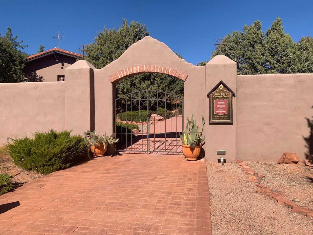
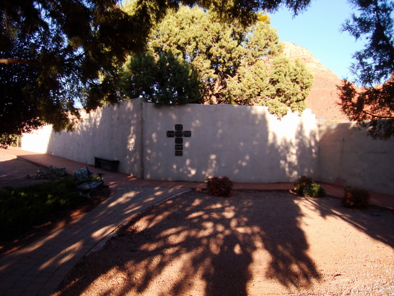
| Description | : | Traditional Anglicans and Episcopalians have always preferred to be buried near their parish church. Churchyards throughout England and the Eastern Seaboard of the United States are graceful examples of this long-standing custom. With this in mind, we have created the Memorial Garden, so that parish members and others will have the opportunity to secure a final resting place for their cremated remains on hallowed ground. |
frequently asked questions (FAQ):
-
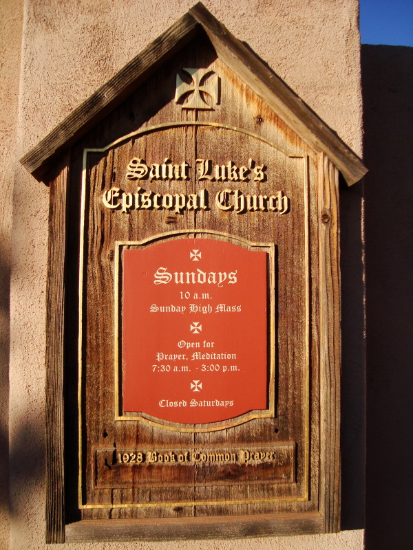
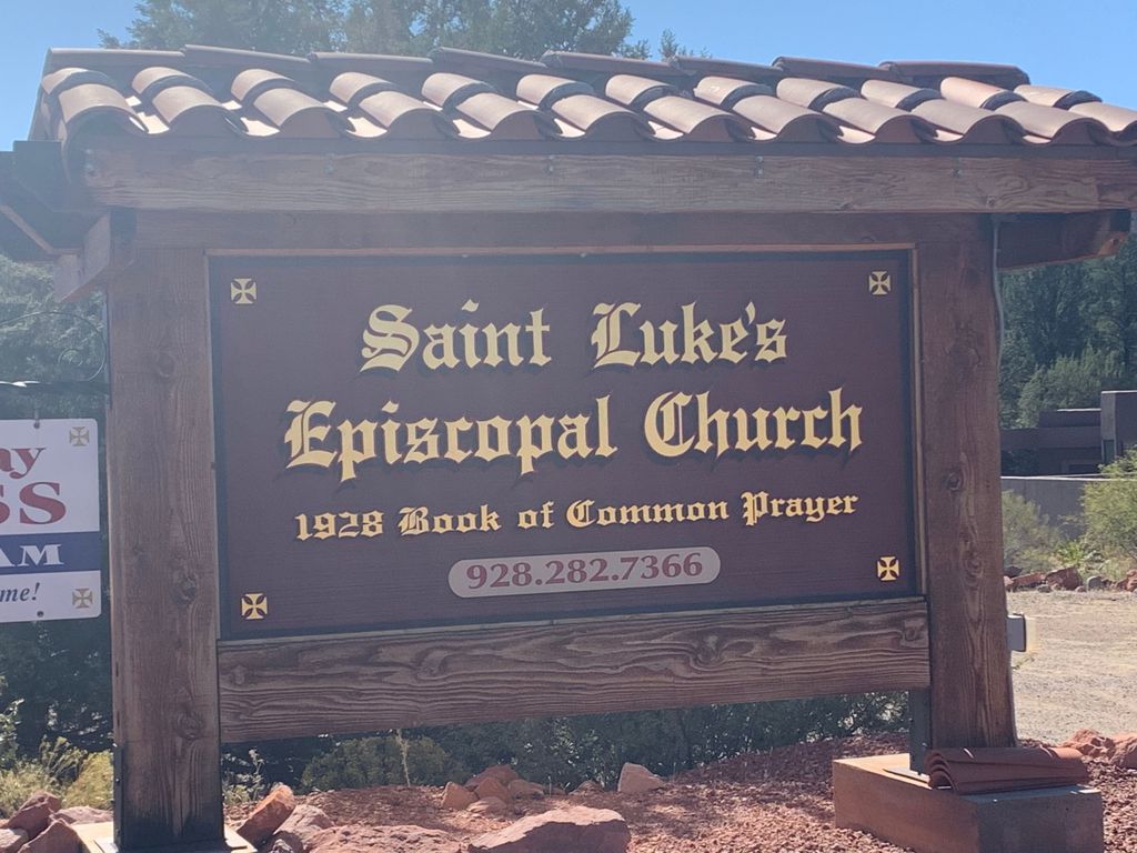
Where is Saint Lukes Memorial Garden?
Saint Lukes Memorial Garden is located at 2690 Hwy 179 Sedona, Coconino County ,Arizona , 86336USA.
-
Saint Lukes Memorial Garden cemetery's updated grave count on graveviews.com?
0 memorials
-
Where are the coordinates of the Saint Lukes Memorial Garden?
Latitude: 34.8306100
Longitude: -111.7779100
Nearby Cemetories:
1. Christ Lutheran Church Memorial Garden
Sedona, Coconino County, USA
Coordinate: 34.8325380, -111.7758970
2. Sedona United Methodist Church Columbarium
Sedona, Coconino County, USA
Coordinate: 34.8263120, -111.7776790
3. Sedona Community Cemetery
Sedona, Coconino County, USA
Coordinate: 34.8438310, -111.7655470
4. Church of the Red Rocks Columbarium
Coconino County, USA
Coordinate: 34.8499000, -111.7667000
5. Cooks Cedar Glade Cemetery
Sedona, Yavapai County, USA
Coordinate: 34.8610306, -111.7811432
6. Schuerman Red Rock Cemetery
Sedona, Yavapai County, USA
Coordinate: 34.8271280, -111.8153020
7. Saint Andrew's Episcopal Church Columbarium
West Sedona, Yavapai County, USA
Coordinate: 34.8597400, -111.8142250
8. Thompson Family Cemetery
Cornville, Yavapai County, USA
Coordinate: 34.7440400, -111.8885900
9. Casner Family Cemetery
Rimrock, Yavapai County, USA
Coordinate: 34.6778200, -111.6952700
10. All Souls Cemetery
Cottonwood, Yavapai County, USA
Coordinate: 34.7459000, -111.9710000
11. Beaver Creek Baptist Church Cemetery
Yavapai County, USA
Coordinate: 34.6450200, -111.7840600
12. Jerome Mine Laborers Cemetery
Cottonwood, Yavapai County, USA
Coordinate: 34.7569900, -112.0182500
13. Cottonwood Cemetery
Cottonwood, Yavapai County, USA
Coordinate: 34.7448900, -112.0130400
14. Azteca Cemetery
Cottonwood, Yavapai County, USA
Coordinate: 34.7454000, -112.0138000
15. Middle Verde Yavapai-Apache Cemetery
Camp Verde, Yavapai County, USA
Coordinate: 34.6306030, -111.8862190
16. Middle Verde Cemetery
Camp Verde, Yavapai County, USA
Coordinate: 34.6253014, -111.8886032
17. Rainbow Acres Columbarium
Camp Verde, Yavapai County, USA
Coordinate: 34.6206470, -111.8876170
18. Saint Thomas Episcopal Church Columbarium
Clarkdale, Yavapai County, USA
Coordinate: 34.7710420, -112.0568670
19. Valley View Cemetery
Clarkdale, Yavapai County, USA
Coordinate: 34.7566986, -112.0599976
20. Jerome Valley Cemetery
Clarkdale, Yavapai County, USA
Coordinate: 34.7488100, -112.0624800
21. Raymond County Park
Flagstaff, Coconino County, USA
Coordinate: 35.0917430, -111.6866100
22. Jerome Cemetery
Jerome, Yavapai County, USA
Coordinate: 34.7538500, -112.1049600
23. Clear Creek Cemetery
Camp Verde, Yavapai County, USA
Coordinate: 34.5261002, -111.8272018
24. Mescal Gulch Cemetery
Jerome, Yavapai County, USA
Coordinate: 34.7256360, -112.1338340