
| Memorials | : | 0 |
| Location | : | Bradys Bend, Armstrong County, USA |
| Coordinate | : | 40.9919010, -79.6246900 |
| Description | : | Driving directions: From the west end of the bridge, across the Allegheny River, in East Brady, Clarion County, PA, drive up the hill, west on Route 68, for a total of 1.25 miles, from this bridge and look for the M48 Tank, on the left, at the American Legion Hall. Just past the Tank, turn left onto Cemetery Road and drive 0.2 miles up the hill to the cemetery. |
frequently asked questions (FAQ):
-
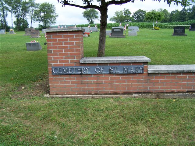
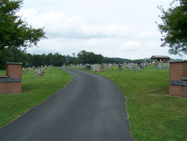
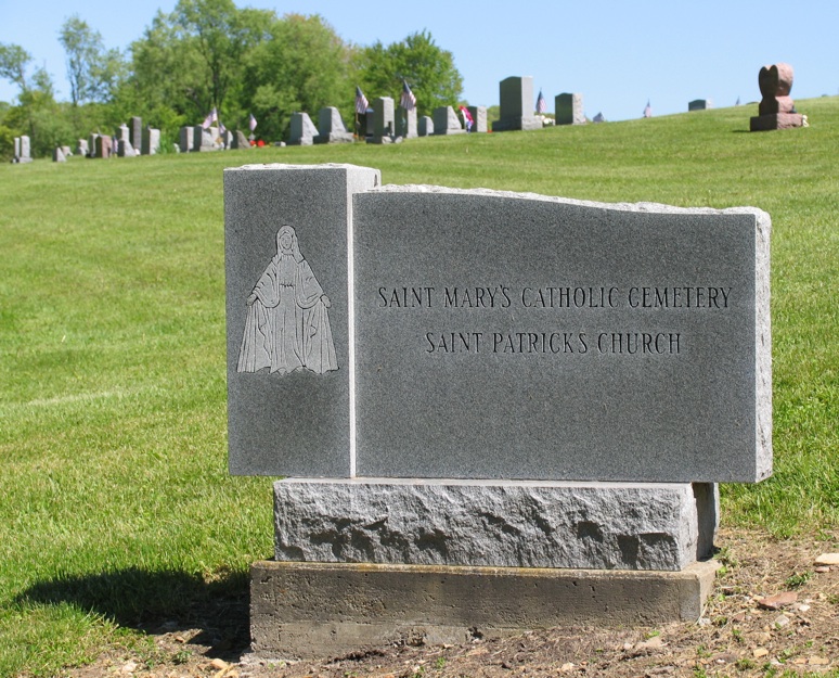
Where is Saint Mary's Cemetery?
Saint Mary's Cemetery is located at Bradys Bend, Armstrong County ,Pennsylvania ,USA.
-
Saint Mary's Cemetery cemetery's updated grave count on graveviews.com?
0 memorials
-
Where are the coordinates of the Saint Mary's Cemetery?
Latitude: 40.9919010
Longitude: -79.6246900
Nearby Cemetories:
1. Bradys Bend Cemetery
Bradys Bend Township, Armstrong County, USA
Coordinate: 40.9912530, -79.6320820
2. Saints Peter and Paul Cemetery
Queenstown, Armstrong County, USA
Coordinate: 41.0105860, -79.6314890
3. Saint Eusebius Cemetery
East Brady, Clarion County, USA
Coordinate: 40.9857620, -79.5991440
4. Phillipston Cemetery
Phillipston, Clarion County, USA
Coordinate: 40.9807000, -79.5889000
5. Truby-Rumbaugh Cemetery
Hillville, Armstrong County, USA
Coordinate: 40.9989471, -79.5863342
6. Peters Cemetery
Bradys Bend, Armstrong County, USA
Coordinate: 41.0099680, -79.6580900
7. Crawford Cemetery
Bradys Bend, Armstrong County, USA
Coordinate: 41.0056000, -79.6635971
8. Kaylor Baptist Cemetery
Bradys Bend, Armstrong County, USA
Coordinate: 40.9772660, -79.6808980
9. Robinson Cemetery
Bradys Bend, Armstrong County, USA
Coordinate: 41.0346985, -79.5999985
10. Walley Cemetery
Bradys Bend, Armstrong County, USA
Coordinate: 41.0363260, -79.6458440
11. Mount Hope Cemetery
Madison Township, Clarion County, USA
Coordinate: 41.0298000, -79.5814000
12. Oak Grove Cemetery
Frogtown, Armstrong County, USA
Coordinate: 40.9540710, -79.6701260
13. Steel-Gutherie Cemetery
Armstrong County, USA
Coordinate: 41.0267000, -79.6799000
14. Wattersonville United Methodist Cemetery
Wattersonville, Armstrong County, USA
Coordinate: 40.9801410, -79.5540080
15. Mount Pleasant Lutheran Cemetery
Sugar Creek, Armstrong County, USA
Coordinate: 40.9546580, -79.6799160
16. Smith Cemetery
Petrolia, Butler County, USA
Coordinate: 41.0140290, -79.6976780
17. Reynolds Cemetery
Armstrong County, USA
Coordinate: 40.9789170, -79.5457850
18. West Monterey Cemetery
West Monterey, Clarion County, USA
Coordinate: 41.0511000, -79.6585000
19. Saint Mary's Episcopal Cemetery
Armstrong County, USA
Coordinate: 40.9718630, -79.5398680
20. White Oak Cemetery
Kepples Corners, Butler County, USA
Coordinate: 40.9573300, -79.7013300
21. Wilson Cemetery
Kepples Corners, Butler County, USA
Coordinate: 40.9566360, -79.7016400
22. Shakley Cemetery
Bradys Bend, Armstrong County, USA
Coordinate: 41.0400009, -79.6885986
23. Hillview Cemetery
Kepples Corners, Butler County, USA
Coordinate: 40.9646470, -79.7074540
24. Mount Calvary Cemetery
Dutch Hill, Clarion County, USA
Coordinate: 41.0643000, -79.6394000