
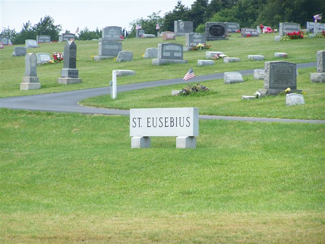
| Memorials | : | 3 |
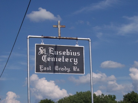
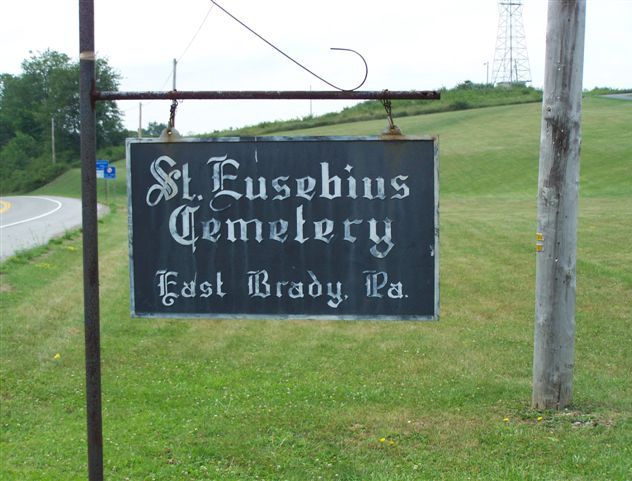
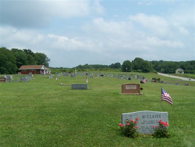
| Location | : | East Brady, Clarion County, USA |
| Coordinate | : | 40.9857620, -79.5991440 |
| Description | : | Driving directions: From the east end of the Allegheny River Bridge in East Brady, Clarion County, PA, drive East on Pennsylvania Route 68, out of town and up the steep hill. Drive a total of 2.1 miles from the bridge and at the top of the hill, on the left, will be the cemetery. |
frequently asked questions (FAQ):
-
Where is Saint Eusebius Cemetery?
Saint Eusebius Cemetery is located at East Brady, Clarion County ,Pennsylvania ,USA.
-
Saint Eusebius Cemetery cemetery's updated grave count on graveviews.com?
3 memorials
-
Where are the coordinates of the Saint Eusebius Cemetery?
Latitude: 40.9857620
Longitude: -79.5991440
Nearby Cemetories:
1. Phillipston Cemetery
Phillipston, Clarion County, USA
Coordinate: 40.9807000, -79.5889000
2. Truby-Rumbaugh Cemetery
Hillville, Armstrong County, USA
Coordinate: 40.9989471, -79.5863342
3. Saint Mary's Cemetery
Bradys Bend, Armstrong County, USA
Coordinate: 40.9919010, -79.6246900
4. Bradys Bend Cemetery
Bradys Bend Township, Armstrong County, USA
Coordinate: 40.9912530, -79.6320820
5. Wattersonville United Methodist Cemetery
Wattersonville, Armstrong County, USA
Coordinate: 40.9801410, -79.5540080
6. Saints Peter and Paul Cemetery
Queenstown, Armstrong County, USA
Coordinate: 41.0105860, -79.6314890
7. Reynolds Cemetery
Armstrong County, USA
Coordinate: 40.9789170, -79.5457850
8. Mount Hope Cemetery
Madison Township, Clarion County, USA
Coordinate: 41.0298000, -79.5814000
9. Saint Mary's Episcopal Cemetery
Armstrong County, USA
Coordinate: 40.9718630, -79.5398680
10. Robinson Cemetery
Bradys Bend, Armstrong County, USA
Coordinate: 41.0346985, -79.5999985
11. Peters Cemetery
Bradys Bend, Armstrong County, USA
Coordinate: 41.0099680, -79.6580900
12. Crawford Cemetery
Bradys Bend, Armstrong County, USA
Coordinate: 41.0056000, -79.6635971
13. Walley Cemetery
Bradys Bend, Armstrong County, USA
Coordinate: 41.0363260, -79.6458440
14. Oak Grove Cemetery
Frogtown, Armstrong County, USA
Coordinate: 40.9540710, -79.6701260
15. Kaylor Baptist Cemetery
Bradys Bend, Armstrong County, USA
Coordinate: 40.9772660, -79.6808980
16. Sherrett Cemetery
Sherrett, Armstrong County, USA
Coordinate: 40.9329185, -79.5553360
17. Mount Pleasant Lutheran Cemetery
Sugar Creek, Armstrong County, USA
Coordinate: 40.9546580, -79.6799160
18. Steel-Gutherie Cemetery
Armstrong County, USA
Coordinate: 41.0267000, -79.6799000
19. Old Earley Family Graveyard
Rimer, Armstrong County, USA
Coordinate: 40.9361115, -79.5255585
20. Simpson Cemetery
Cowansville, Armstrong County, USA
Coordinate: 40.9092150, -79.5941450
21. West Monterey Cemetery
West Monterey, Clarion County, USA
Coordinate: 41.0511000, -79.6585000
22. Smith Cemetery
Petrolia, Butler County, USA
Coordinate: 41.0140290, -79.6976780
23. Tidal Cemetery
Tidal, Armstrong County, USA
Coordinate: 40.9582520, -79.4990020
24. Bethesda Cemetery
Rimersburg, Clarion County, USA
Coordinate: 41.0385000, -79.5168000