
| Memorials | : | 8 |
| Location | : | Thompson, Washington County, USA |
| Coordinate | : | 43.2597500, -88.3709700 |
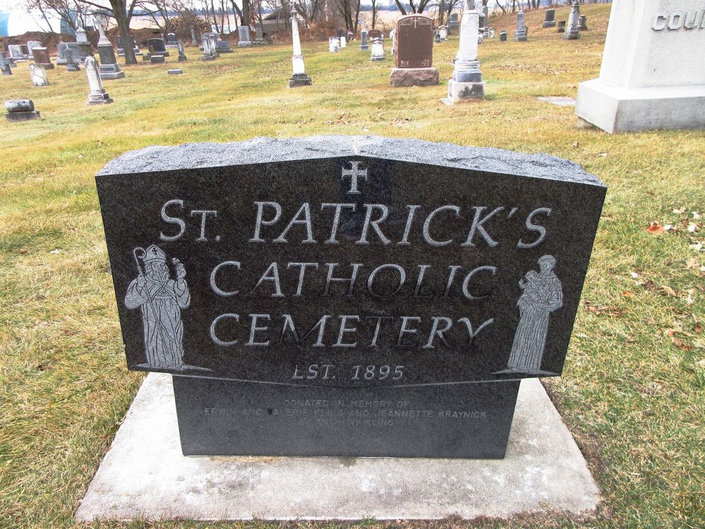
| Description | : | St. Patrick Church of Erin was build in 1855 by Irish immigrants. It is one of few churches in Wisconsin built in the shape of a cross, which adds to its historical significance. The original interior of St. Patrick Church has been preserved for over 150 years. Beautiful statutes of St. Patrick and of the Blessed Mother were donated in 1883 and the 1,000-lb. bell and stained glass windows were added in 1904. The St. Patrick grounds includes the church, two cemeteries, Old St. Patrick Cemetery established in 1850 and an additional cemetery site added in 1959, and a rectory.... Read More |
frequently asked questions (FAQ):
-
Where is Saint Patrick Catholic Cemetery Old?
Saint Patrick Catholic Cemetery Old is located at 1908 Highway 83 (Town of Erin) Thompson, Washington County ,Wisconsin , 53027USA.
-
Saint Patrick Catholic Cemetery Old cemetery's updated grave count on graveviews.com?
8 memorials
-
Where are the coordinates of the Saint Patrick Catholic Cemetery Old?
Latitude: 43.2597500
Longitude: -88.3709700

Nearby Cemetories:
1. Saint Patrick's Catholic Cemetery New
Erin, Washington County, USA
Coordinate: 43.2591660, -88.3666250
2. Erin Emmanuel Lutheran Cemetery
Hartford, Washington County, USA
Coordinate: 43.2768900, -88.3410100
3. Carmelite Cemetery
Hubertus, Washington County, USA
Coordinate: 43.2483030, -88.3299550
4. Toland Norwegian Methodist Cemetery
Erin, Washington County, USA
Coordinate: 43.2239409, -88.4181211
5. Saint Mary of the Hill Parish Cemetery
Hubertus, Washington County, USA
Coordinate: 43.2518260, -88.3009280
6. Saint Olafs Cemetery
Alderley, Dodge County, USA
Coordinate: 43.2253418, -88.4273682
7. Union Cemetery
Hartford, Washington County, USA
Coordinate: 43.3147011, -88.3831024
8. Saint Johns Catholic Cemetery
Washington County, USA
Coordinate: 43.2081000, -88.3410000
9. Saint Kilian Cemetery Old
Hartford, Washington County, USA
Coordinate: 43.3210600, -88.3651500
10. Saylesville Cemetery
Rubicon, Dodge County, USA
Coordinate: 43.2986031, -88.4385681
11. Pleasant Hill Cemetery
Hartford, Washington County, USA
Coordinate: 43.3196983, -88.3996964
12. Saint Pauls Episcopal Cemetery
Ashippun, Dodge County, USA
Coordinate: 43.2273810, -88.4582230
13. Saint Kilian Cemetery New
Hartford, Washington County, USA
Coordinate: 43.3306000, -88.3942000
14. Saint Pauls United Church of Christ Cemetery
Plat, Washington County, USA
Coordinate: 43.2071900, -88.3010900
15. Ashippun Presbyterian Cemetery
Ashippun, Dodge County, USA
Coordinate: 43.2248470, -88.4596540
16. Faith Cemetery
Slinger, Washington County, USA
Coordinate: 43.2950400, -88.2807900
17. First Presbyterian Church Cemetery
Richfield, Washington County, USA
Coordinate: 43.2729130, -88.2618910
18. Mount Hope Cemetery
Ashippun, Dodge County, USA
Coordinate: 43.2247009, -88.4832993
19. Rettler Farm Cemetery
Hartford, Washington County, USA
Coordinate: 43.3501690, -88.3595430
20. Saint John United Church of Christ Cemetery
Slinger, Washington County, USA
Coordinate: 43.3299190, -88.2878160
21. Saint Marys Church Cemetery
Richfield, Washington County, USA
Coordinate: 43.2775497, -88.2407684
22. Saint Peter Cemetery New
Slinger, Washington County, USA
Coordinate: 43.3437500, -88.3042200
23. Saint Paul Lutheran Cemetery
Slinger, Washington County, USA
Coordinate: 43.3279720, -88.2758120
24. Rosenheimer Cemetery
Slinger, Washington County, USA
Coordinate: 43.3365900, -88.2875600