
| Memorials | : | 12 |
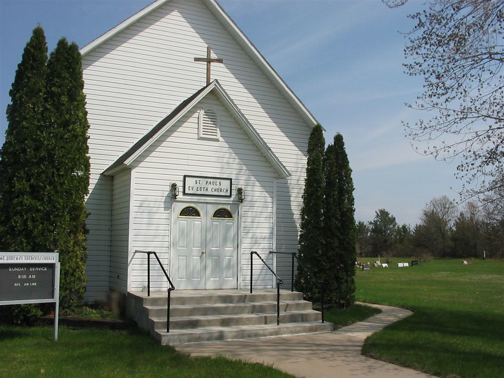
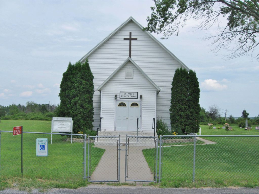
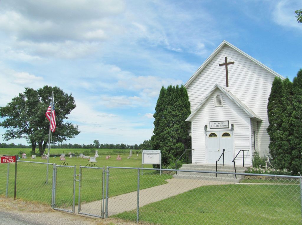
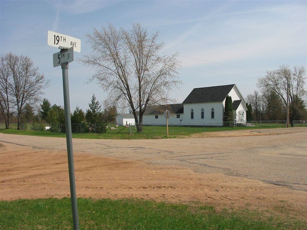
| Location | : | New Miner, Juneau County, USA |
| Coordinate | : | 44.1981630, -90.0159750 |
| Description | : | Once known as Miner Lutheran Cemetery. Graves are located both north and south of the church. All readable grave stones have been entered and photographed as of July 2017. (Not to be confused with Saint Paul Evangelical Lutheran Cemetery in Wonewoc, Juneau County, Wisconsin.) |
frequently asked questions (FAQ):
-
Where is Saint Pauls Lutheran Cemetery?
Saint Pauls Lutheran Cemetery is located at N15296 19th Avenue New Miner, Juneau County ,Wisconsin , 54646USA.
-
Saint Pauls Lutheran Cemetery cemetery's updated grave count on graveviews.com?
12 memorials
-
Where are the coordinates of the Saint Pauls Lutheran Cemetery?
Latitude: 44.1981630
Longitude: -90.0159750
Nearby Cemetories:
1. Novotny Cemetery
New Miner, Juneau County, USA
Coordinate: 44.1702995, -90.0263977
2. Searles Prairie Cemetery
New Miner, Juneau County, USA
Coordinate: 44.1514015, -90.0361023
3. Dauger Hill Cemetery
Finley, Juneau County, USA
Coordinate: 44.1982000, -90.0896200
4. Zion Cemetery
New Miner, Juneau County, USA
Coordinate: 44.1399994, -90.0658035
5. Greenwood Cemetery
New Miner, Juneau County, USA
Coordinate: 44.2386017, -89.9131012
6. New Rome Cemetery
New Rome, Adams County, USA
Coordinate: 44.1943016, -89.8887024
7. Monroe Cemetery
Monroe Center, Adams County, USA
Coordinate: 44.1183014, -89.9503021
8. Indian Baby Grave
Monroe Center, Adams County, USA
Coordinate: 44.1180077, -89.9447174
9. Green Hill Cemetery
Nekoosa, Wood County, USA
Coordinate: 44.2606010, -89.8713989
10. Babcock Cemetery
Babcock, Wood County, USA
Coordinate: 44.3163986, -90.1100006
11. Strongs Prairie Cemetery
Strongs Prairie, Adams County, USA
Coordinate: 44.0607986, -89.9850006
12. Meadow Valley Cemetery
Meadow Valley, Juneau County, USA
Coordinate: 44.2092018, -90.2142029
13. Riverside Cemetery
Nekoosa, Wood County, USA
Coordinate: 44.3303261, -89.8910370
14. Edwardson Cemetery
Strongs Prairie, Adams County, USA
Coordinate: 44.0539017, -89.9141998
15. Big Flats Cemetery
Big Flats, Adams County, USA
Coordinate: 44.1114998, -89.8221970
16. Port Edwards Municipal Cemetery
Port Edwards, Wood County, USA
Coordinate: 44.3430023, -89.8971786
17. Spring Branch Cemetery
New Rome, Adams County, USA
Coordinate: 44.2219009, -89.7774963
18. Bayview Cemetery
Necedah, Juneau County, USA
Coordinate: 44.0292000, -90.0774000
19. Queen of the Holy Rosary Catholic Cemetery
Necedah, Juneau County, USA
Coordinate: 44.0233000, -90.0600000
20. West Arkdale Cemetery
Arkdale, Adams County, USA
Coordinate: 44.0243988, -89.9171982
21. John Jones Burial Site
Port Edwards, Wood County, USA
Coordinate: 44.3499985, -89.8556366
22. Dexterville Cemetery
Dexterville, Wood County, USA
Coordinate: 44.3767700, -90.1198425
23. Wood County Cemetery
Wisconsin Rapids, Wood County, USA
Coordinate: 44.3660100, -89.8744600
24. Cottonville Cemetery
Cottonville, Adams County, USA
Coordinate: 44.0539017, -89.8265991