
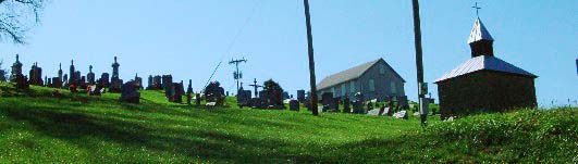
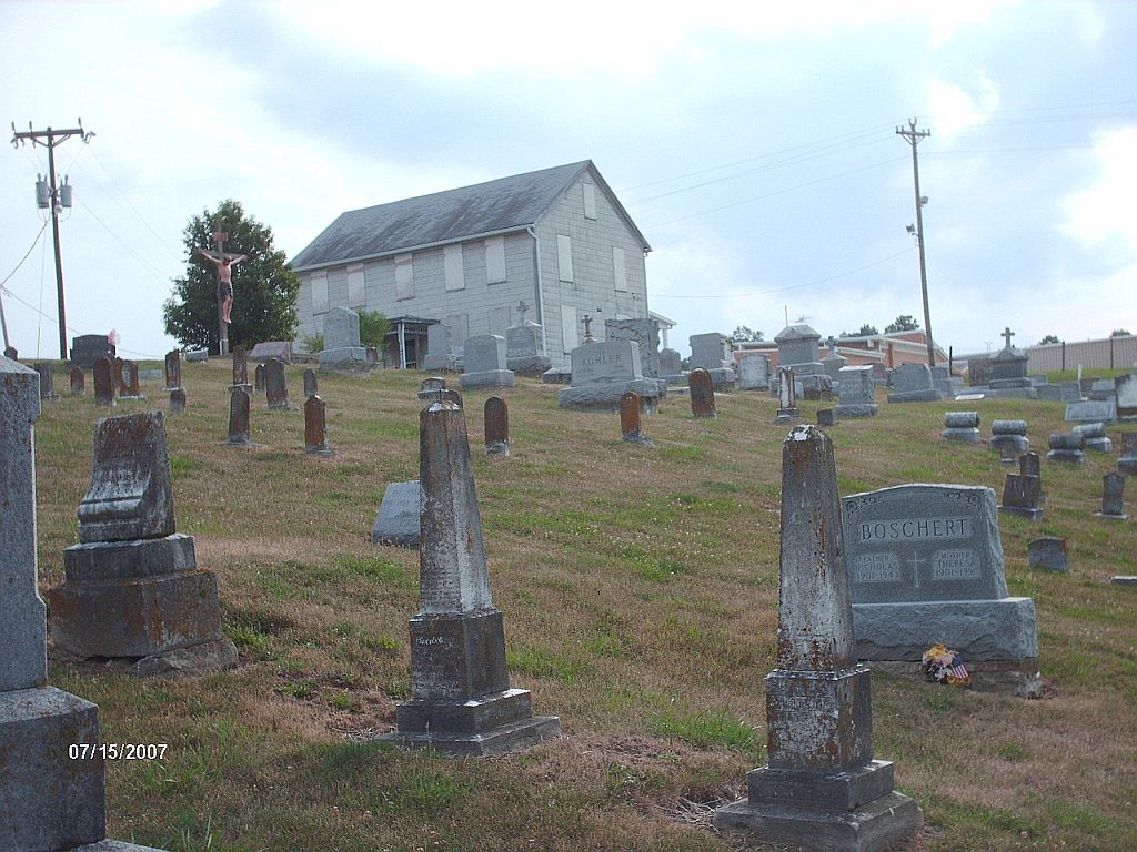
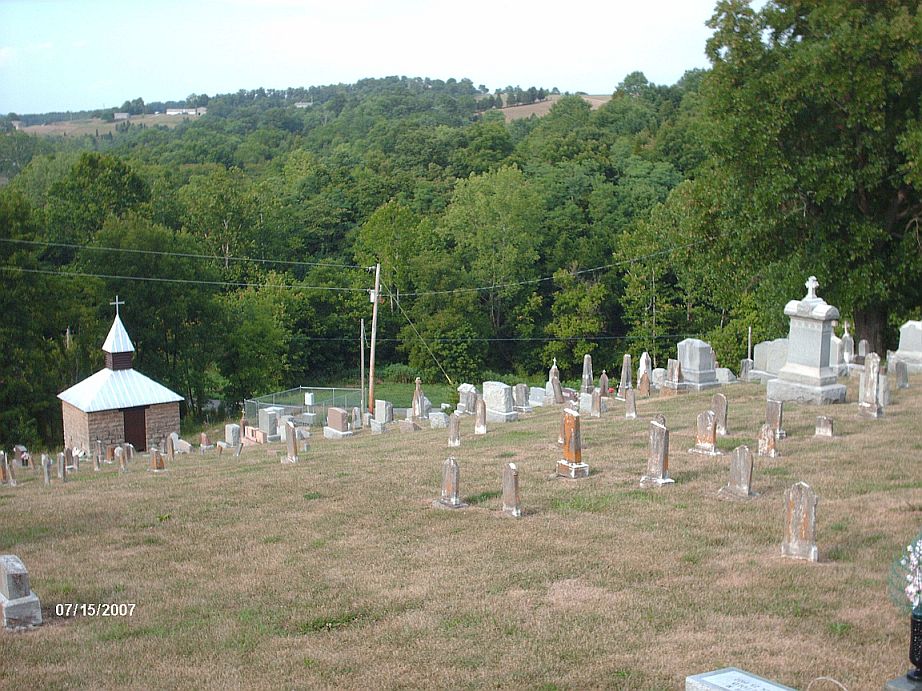
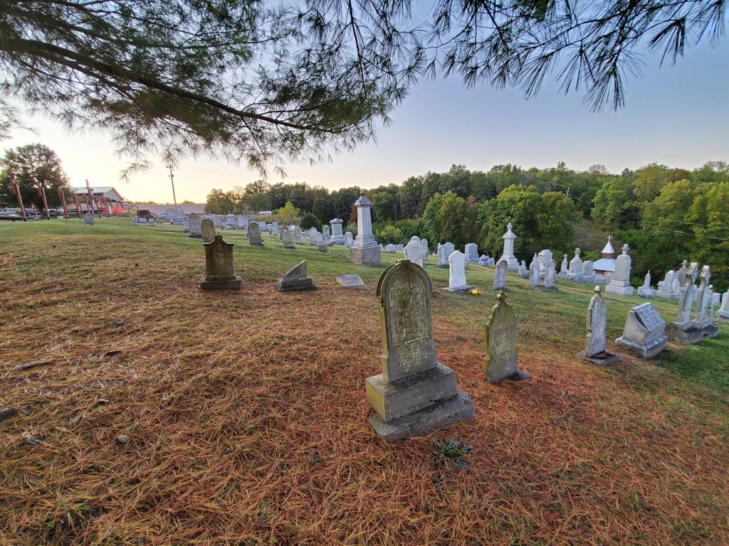
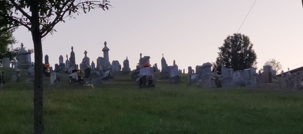
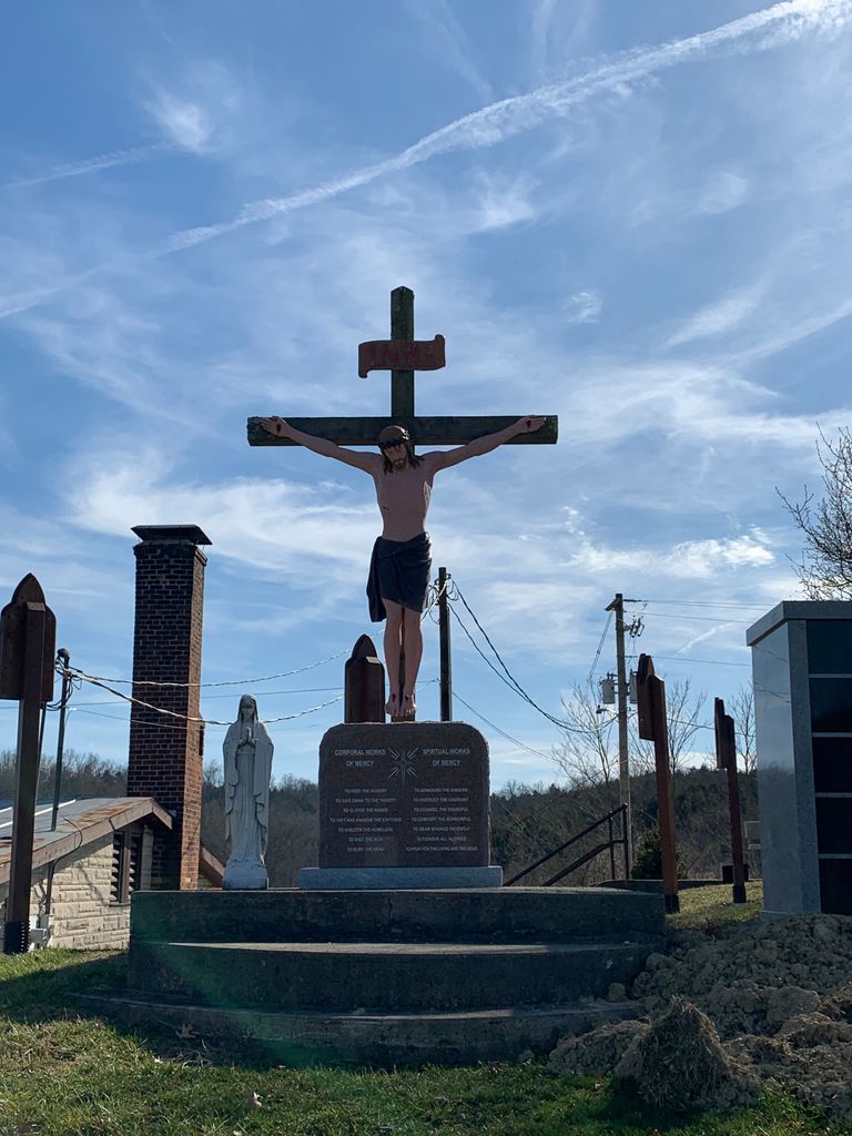
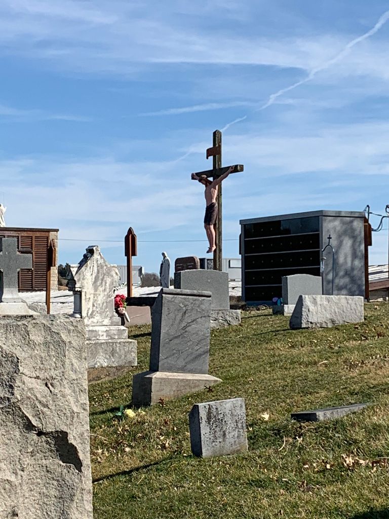
| Memorials | : | 19 |
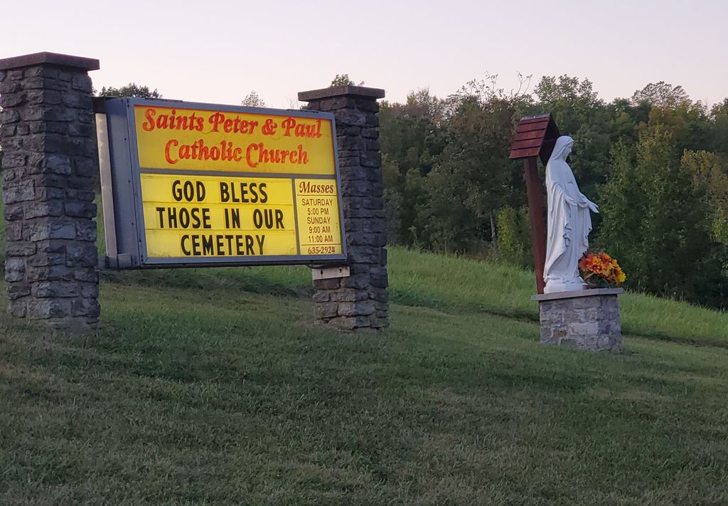
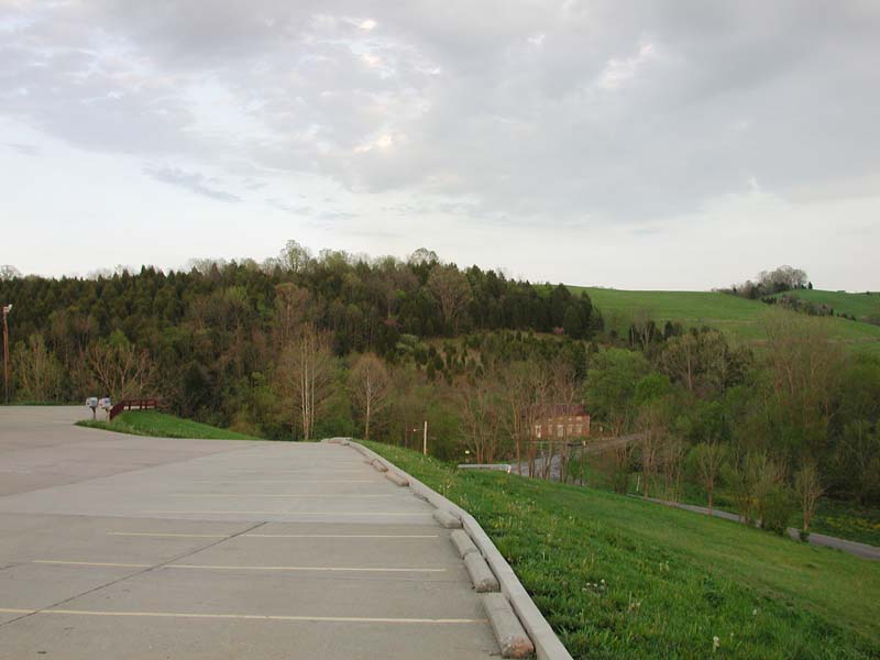
| Location | : | Gubser Mill, Campbell County, USA |
| Coordinate | : | 38.8769444, -84.3161100 |
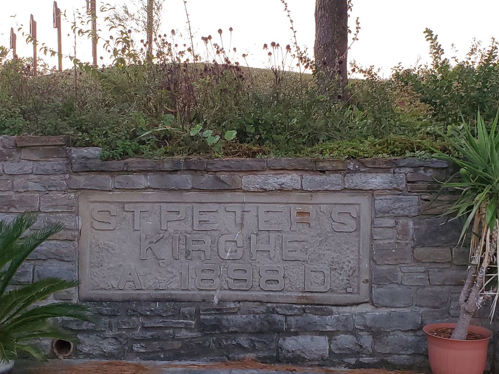
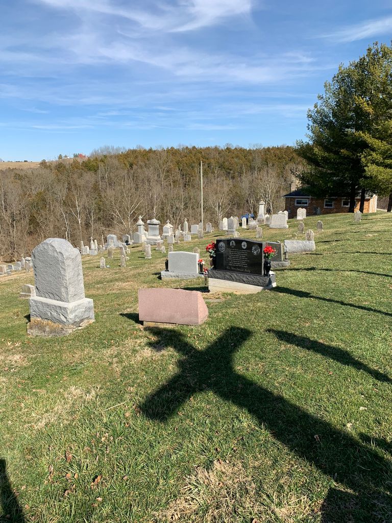
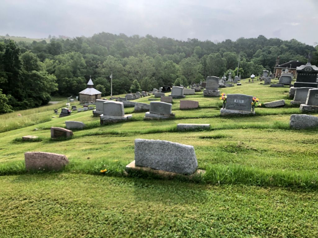
| Description | : | The U.S. Geological Survey (USGS) Geographic Names Information System (GNIS) feature ID for the cemetery is 2089476 (Saint Peter and Paul Cemetery). |
frequently asked questions (FAQ):
-
Where is Saints Peter and Paul Church Cemetery?
Saints Peter and Paul Church Cemetery is located at 2160 California Crossroads Gubser Mill, Campbell County ,Kentucky , 41007USA.
-
Saints Peter and Paul Church Cemetery cemetery's updated grave count on graveviews.com?
19 memorials
-
Where are the coordinates of the Saints Peter and Paul Church Cemetery?
Latitude: 38.8769444
Longitude: -84.3161100
Nearby Cemetories:
1. Schoolfield Cemetery
Gubser Mill, Campbell County, USA
Coordinate: 38.8848110, -84.3389150
2. Wesley Chapel Cemetery
California, Campbell County, USA
Coordinate: 38.8555600, -84.2877500
3. Persimmon Grove Cemetery
Persimmon Grove, Campbell County, USA
Coordinate: 38.9011500, -84.3444700
4. Old Rardin Graveyard
Peach Grove, Pendleton County, USA
Coordinate: 38.8383200, -84.3183900
5. Cherry Family Cemetery
Persimmon Grove, Campbell County, USA
Coordinate: 38.9101700, -84.3451110
6. Herndon-Bartlow Family Cemetery
Carthage, Campbell County, USA
Coordinate: 38.9155556, -84.3305556
7. Flagg Springs Baptist Church Cemetery
Flagg Spring, Campbell County, USA
Coordinate: 38.8836110, -84.2641667
8. Caldwell Cemetery
Alexandria, Campbell County, USA
Coordinate: 38.8884730, -84.3668880
9. John Armstrong Tarvin Cemetery
Grants Lick, Campbell County, USA
Coordinate: 38.8596830, -84.3646170
10. Beall Family Cemetery
Mentor, Campbell County, USA
Coordinate: 38.8866882, -84.2624588
11. Richard Tarvin Cemetery
Grants Lick, Campbell County, USA
Coordinate: 38.8471070, -84.3594710
12. Harris Family Cemetery
California, Campbell County, USA
Coordinate: 38.8471790, -84.3596420
13. Corbin Family Cemetery
Carthage, Campbell County, USA
Coordinate: 38.9168500, -84.2828330
14. Grandview Cemetery
Mentor, Campbell County, USA
Coordinate: 38.8880997, -84.2557983
15. Old Peach Grove Cemetery
Peach Grove, Pendleton County, USA
Coordinate: 38.8299540, -84.2942510
16. Immaculate Conception Catholic Church Cemetery
Peach Grove, Pendleton County, USA
Coordinate: 38.8412550, -84.2643010
17. John Gosney Family Cemetery
Grants Lick, Campbell County, USA
Coordinate: 38.8334980, -84.3598650
18. Ball Family Graveyard
California, Campbell County, USA
Coordinate: 38.9276670, -84.2864170
19. Dunlap Grave
California, Campbell County, USA
Coordinate: 38.9223520, -84.2742330
20. Plum Creek Christian Church Cemetery
Grants Lick, Campbell County, USA
Coordinate: 38.8407600, -84.3720900
21. Mount Gilead Methodist Evangelical Church Cemetery
Carthage, Campbell County, USA
Coordinate: 38.9342430, -84.3111630
22. Tarvin-Moore Cemetery
Carthage, Campbell County, USA
Coordinate: 38.9328070, -84.2974950
23. Foster Byrd Family Cemetery
Aspen Grove, Campbell County, USA
Coordinate: 38.8906160, -84.3890430
24. Old Mount Gilead Cemetery
Carthage, Campbell County, USA
Coordinate: 38.9356030, -84.3099730