
| Memorials | : | 1 |
| Location | : | Senatobia, Tate County, USA |
| Coordinate | : | 34.5738980, -90.0655420 |
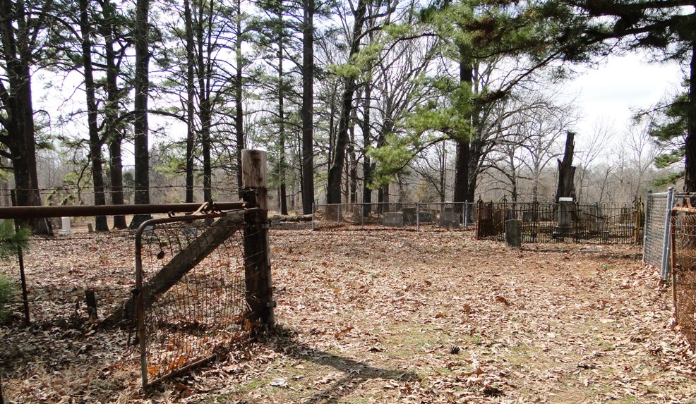
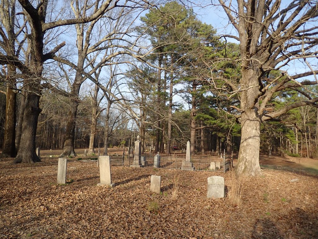
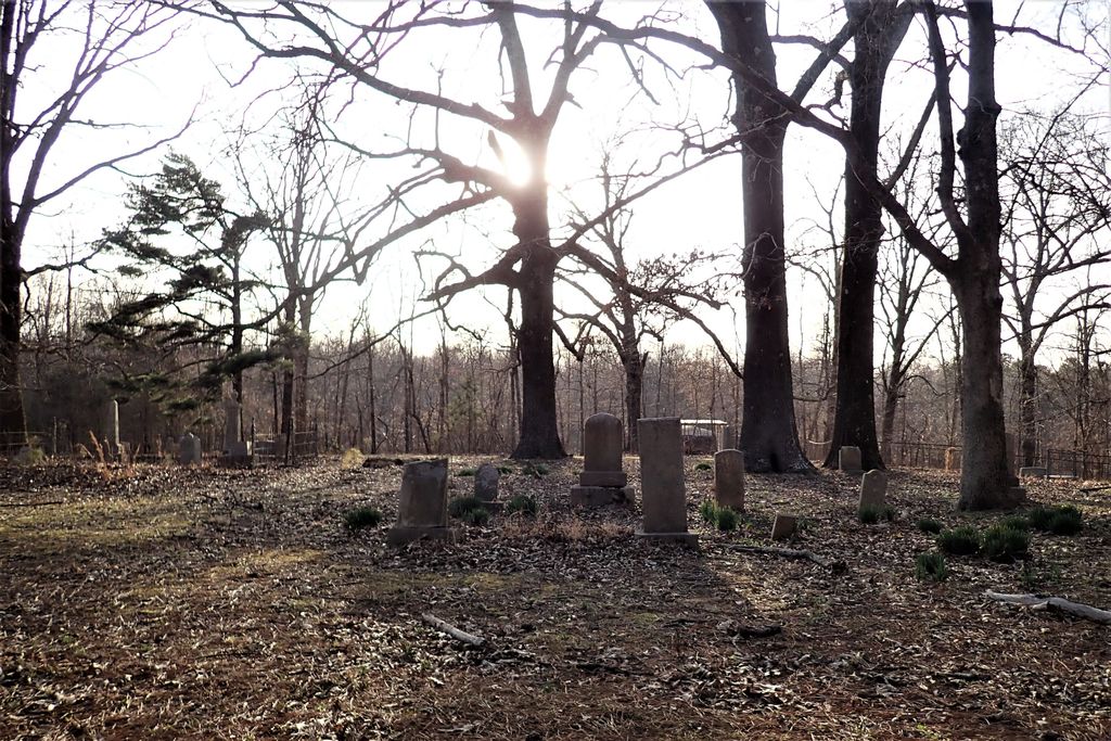
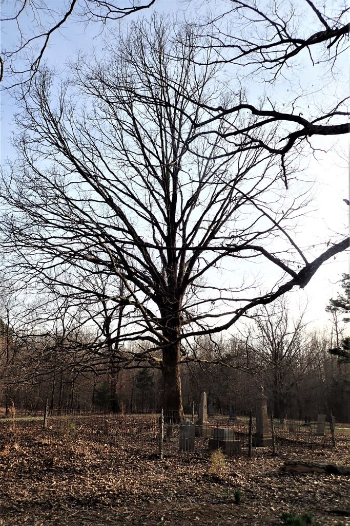
| Description | : | From the intersection of Browns Ferry Rd. & US-51, in Senatobia, travel west on Browns Ferry Rd. for 5.6 mi.; turning south (left) onto Foy Rd., going 1.5 mi.; turning west (right) onto Salem Rd., going 0.6 mi.; turning west (right) into this old, large 'deeded' cemetery, as notated on USGS topo maps. |
frequently asked questions (FAQ):
-
Where is Salem Cemetery?
Salem Cemetery is located at Salem Road Senatobia, Tate County ,Mississippi ,USA.
-
Salem Cemetery cemetery's updated grave count on graveviews.com?
0 memorials
-
Where are the coordinates of the Salem Cemetery?
Latitude: 34.5738980
Longitude: -90.0655420

Nearby Cemetories:
1. New Salem Baptist Church Cemetery
Senatobia, Tate County, USA
Coordinate: 34.5823520, -90.0449430
2. Bucey-Matthews Cemetery
Senatobia, Tate County, USA
Coordinate: 34.6179000, -90.0681000
3. Featherston AME Chapel Cemetery
Senatobia, Tate County, USA
Coordinate: 34.6184400, -90.0653650
4. Crockett Church of Christ Cemetery
Crockett, Tate County, USA
Coordinate: 34.6192010, -90.0785510
5. McGehee-White Cemetery
Parksplace, Panola County, USA
Coordinate: 34.5264282, -90.0444565
6. Harmony Cemetery
Strayhorn, Tate County, USA
Coordinate: 34.5801100, -90.1282630
7. Hammond Hill M. B. Church Cemetery
Como, Panola County, USA
Coordinate: 34.5542100, -90.0043340
8. Paradise MB Church Cemetery
Senatobia, Tate County, USA
Coordinate: 34.6055820, -90.0034070
9. Veazey Cemetery
Crockett, Tate County, USA
Coordinate: 34.6414730, -90.0718240
10. New Spring Hill M.B. Church Cemetery
Strayhorn, Tate County, USA
Coordinate: 34.5952900, -90.1446580
11. Singleton Springs Cemetery
Strayhorn, Tate County, USA
Coordinate: 34.6332690, -90.1092480
12. Old County Poor House Cemetery
Senatobia, Tate County, USA
Coordinate: 34.6118590, -89.9941360
13. Askew Grove Cemetery
Crenshaw, Panola County, USA
Coordinate: 34.5184850, -90.1214850
14. Ebenezer Church Cemetery
Senatobia, Tate County, USA
Coordinate: 34.6257690, -90.0044860
15. Longtown Memorial Garden Cemetery
Panola County, USA
Coordinate: 34.5171650, -90.1215040
16. Shady Grove Cemetery
Senatobia, Tate County, USA
Coordinate: 34.5822360, -89.9766410
17. McGehees Chapel Cemetery
Longtown, Panola County, USA
Coordinate: 34.5003014, -90.0580978
18. Longtown Cemetery
Longtown, Panola County, USA
Coordinate: 34.5116997, -90.1181030
19. Antioch M.B Church Cemetery #1
Coldwater, Tate County, USA
Coordinate: 34.6414140, -90.0212140
20. Abes Chapel Cemetery
Panola County, USA
Coordinate: 34.5396996, -89.9819031
21. Old Caroline Cemetery
Senatobia, Tate County, USA
Coordinate: 34.5792020, -89.9695500
22. Freeman Hewlett Porter Askew Dyson Cemetery
Como, Panola County, USA
Coordinate: 34.4960180, -90.0428180
23. Faith Chapel Holiness Church Cemetery
Senatobia, Tate County, USA
Coordinate: 34.5839510, -89.9669680
24. Senatobia Memorial Cemetery
Senatobia, Tate County, USA
Coordinate: 34.5930610, -89.9672090