| Memorials | : | 35 |
| Location | : | Sardis, Monroe County, USA |
| Coordinate | : | 39.6650840, -80.9496380 |
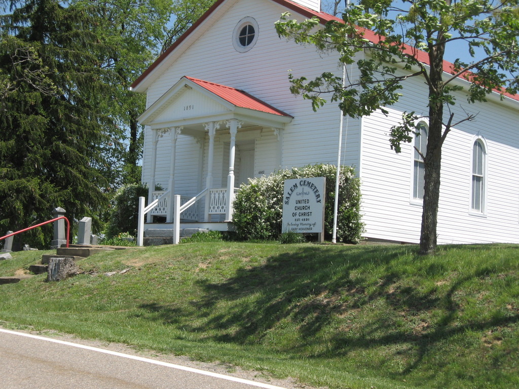
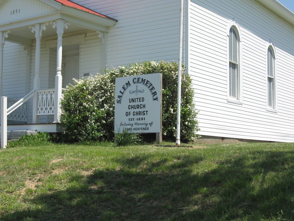
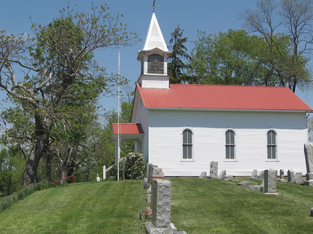
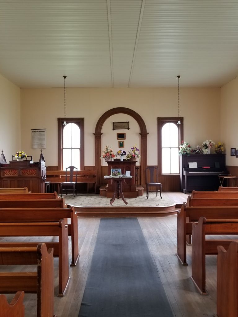
| Description | : | The cemetery is located on the east side of State Route 255 on about 0.75 acres seven miles from Route 7 in Sardis, Ohio. It is situated on the township lines of Lee and Ohio and maintained beautifully by Lee Township. The building, which was erected in 1891, was originally Morton Ridge Lutheran Church. Reflecting the German-Swiss heritage of the area services were conducted in German prior to WW1 and then English and German until about 1925. The north side of the building contain the oldest tombstones with several inscriptions in German. The cemetery is... Read More |
frequently asked questions (FAQ):
-
Where is Salem Cemetery?
Salem Cemetery is located at 48614-48646 Ohio State Route 255 Sardis, Monroe County ,Ohio , 43946USA.
-
Salem Cemetery cemetery's updated grave count on graveviews.com?
29 memorials
-
Where are the coordinates of the Salem Cemetery?
Latitude: 39.6650840
Longitude: -80.9496380
Nearby Cemetories:
1. Mount Moriah Cemetery
Monroe County, USA
Coordinate: 39.6577988, -80.9488983
2. Mount Olive Cemetery
Monroe County, USA
Coordinate: 39.6556300, -80.9587100
3. Saint Johns Methodist Church Cemetery
Goodwin, Monroe County, USA
Coordinate: 39.6684914, -80.9221802
4. Parker Cemetery
Sardis, Monroe County, USA
Coordinate: 39.6519012, -80.9764023
5. Apostolic Church Cemetery
Ohio Township, Monroe County, USA
Coordinate: 39.6554460, -80.9092250
6. Zion Memorial Gardens
Sardis, Monroe County, USA
Coordinate: 39.6788630, -80.9093820
7. Zion Evangelical Cemetery
Hannibal, Monroe County, USA
Coordinate: 39.6816400, -80.9091800
8. Price Cemetery
Benwood, Monroe County, USA
Coordinate: 39.6902482, -80.9972611
9. Fuchs Cemetery
Laings, Monroe County, USA
Coordinate: 39.7109080, -80.9545449
10. Sardis Cemetery
Sardis, Monroe County, USA
Coordinate: 39.6259100, -80.9151000
11. West Union Cemetery
Green Township, Monroe County, USA
Coordinate: 39.6606300, -81.0123300
12. Stender Cemetery
Paden City, Wetzel County, USA
Coordinate: 39.6142006, -80.9178009
13. Emma Grove Cemetery
Hannibal, Monroe County, USA
Coordinate: 39.6713982, -80.8752975
14. Kraft Cemetery
Monroe County, USA
Coordinate: 39.7224998, -80.9664001
15. Paden Memorial Gardens
Paden City, Wetzel County, USA
Coordinate: 39.6113210, -80.9179380
16. Mount Union Cemetery
Hannibal, Monroe County, USA
Coordinate: 39.7003500, -80.8839900
17. Old Hannibal Cemetery
Monroe County, USA
Coordinate: 39.6669810, -80.8692950
18. Locust Grove Cemetery
Sardis, Monroe County, USA
Coordinate: 39.6112000, -80.9906200
19. Harter Cemetery
Hannibal, Monroe County, USA
Coordinate: 39.6756020, -80.8692880
20. Duffy Cemetery
Duffy, Monroe County, USA
Coordinate: 39.6436190, -80.8730500
21. Haythorn Cemetery
Monroe County, USA
Coordinate: 39.6314011, -81.0233002
22. Williams Cemetery
New Martinsville, Wetzel County, USA
Coordinate: 39.6688995, -80.8589020
23. Greenlawn Memorial Park
New Martinsville, Wetzel County, USA
Coordinate: 39.6755981, -80.8591995
24. Frobish Cemetery
Antioch, Monroe County, USA
Coordinate: 39.6106450, -81.0085940


