
| Memorials | : | 4 |
| Location | : | Excelsior Springs, Clay County, USA |
| Coordinate | : | 39.3766708, -94.2157745 |
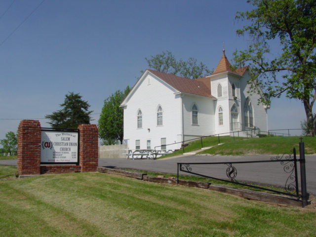
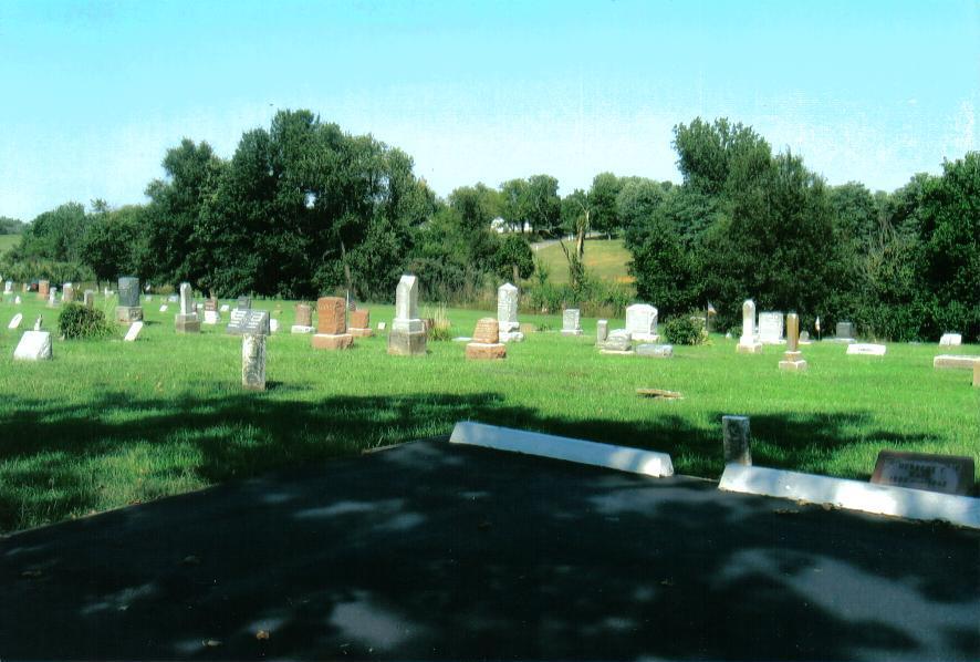
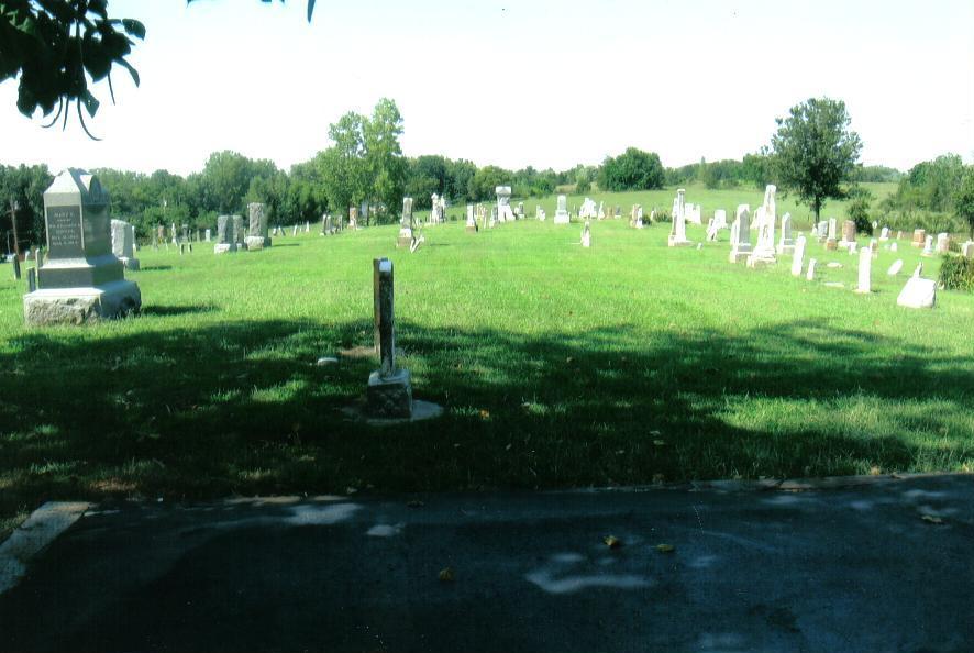
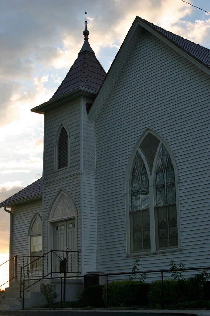
| Description | : | Located on Old Salem Road between Excelsior Springs and Lawson, MO. It was among the earliest churches in Clay County with the first burial in 1830 and the first headstone placed in 1834. First called New Light Christian, for years the cemetery was the only burial place in the area, except for family plots; and as many as 200 graves went unmarked because the decedents' families were unable to afford a marker. There are more than 30 veterans as well as 11 ministers buried in the cemetery. (Lawson Review, 30/May/2006) |
frequently asked questions (FAQ):
-
Where is Salem Christian Union Church Cemetery?
Salem Christian Union Church Cemetery is located at Old Salem Road Excelsior Springs, Clay County ,Missouri , 64024USA.
-
Salem Christian Union Church Cemetery cemetery's updated grave count on graveviews.com?
4 memorials
-
Where are the coordinates of the Salem Christian Union Church Cemetery?
Latitude: 39.3766708
Longitude: -94.2157745
Nearby Cemetories:
1. John Jack Crowley Graveyard
Clay County, USA
Coordinate: 39.3659167, -94.2566111
2. Hamers Farm Cemetery
Ray County, USA
Coordinate: 39.3560400, -94.1762900
3. Majors Family Cemetery
Excelsior Springs, Clay County, USA
Coordinate: 39.4042358, -94.2513657
4. Crown Hill Cemetery
Excelsior Springs, Clay County, USA
Coordinate: 39.3446999, -94.2474976
5. Masonic Cemetery
Excelsior Springs, Clay County, USA
Coordinate: 39.3432655, -94.2482910
6. Crowley Cemetery
Vibbard, Ray County, USA
Coordinate: 39.3807793, -94.1616745
7. Cox Cemetery
Wood Heights, Ray County, USA
Coordinate: 39.3368988, -94.1819000
8. Watkins Mill Cemetery
Clay County, USA
Coordinate: 39.4106800, -94.2603200
9. Elmwood Cemetery
Excelsior Springs, Clay County, USA
Coordinate: 39.3353004, -94.2485962
10. Pisgah Cemetery
Wood Heights, Ray County, USA
Coordinate: 39.3376846, -94.1775055
11. Clevenger Cemetery
Crystal Lakes, Ray County, USA
Coordinate: 39.3600006, -94.1560974
12. John Cleavenger Cemetery
Crystal Lakes, Ray County, USA
Coordinate: 39.3551407, -94.1542053
13. John Clevenger Cemetery
Crystal Lakes, Ray County, USA
Coordinate: 39.3551300, -94.1540600
14. Hollingsworth Family Cemetery
Excelsior Springs, Clay County, USA
Coordinate: 39.4293940, -94.2230050
15. Hillcrest Cemetery
Excelsior Springs, Clay County, USA
Coordinate: 39.3358002, -94.2619019
16. McKee-Moore Cemetery
Clay County, USA
Coordinate: 39.3315630, -94.2608620
17. Bethel Cemetery
Kearney, Clay County, USA
Coordinate: 39.3744011, -94.2902985
18. Welton Cemetery
Clay County, USA
Coordinate: 39.3292800, -94.2663300
19. Lawson Cemetery
Lawson, Ray County, USA
Coordinate: 39.4368248, -94.1954880
20. North New Garden Primitive Baptist Church Cemetery
Wood Heights, Ray County, USA
Coordinate: 39.3271027, -94.1648026
21. Windy Hill Cemetery
Wood Heights, Ray County, USA
Coordinate: 39.3407364, -94.1462250
22. Old New Garden Primitive Baptist Cemetery
Wood Heights, Ray County, USA
Coordinate: 39.3227005, -94.1669006
23. Shady Grove Cemetery
Kearney, Clay County, USA
Coordinate: 39.3605995, -94.3003006
24. Wilson Cemetery
Clay County, USA
Coordinate: 39.4192009, -94.2855988