| Memorials | : | 5 |
| Location | : | Randolph County, USA |
| Coordinate | : | 35.6130480, -80.0161770 |
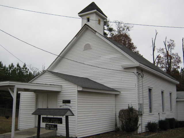
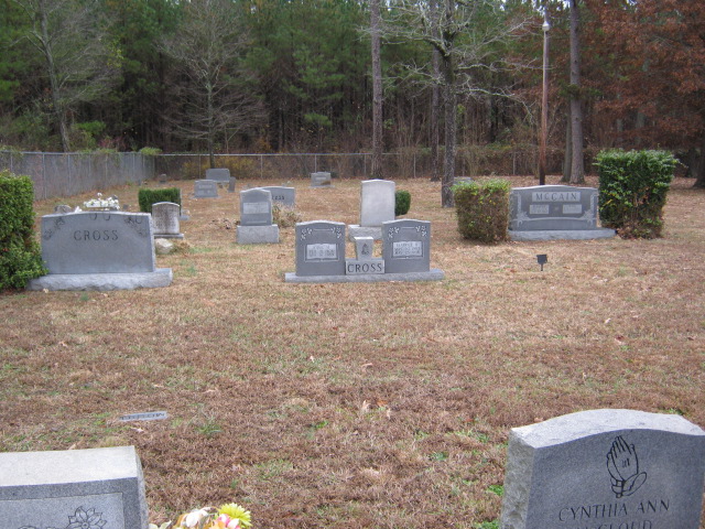
| Description | : | Located on the border of New Hope Township in the Martha Community on NC Highway 49. The church was formed in 1885. There are 25 markers that you are unable to read. |
frequently asked questions (FAQ):
-
Where is Salem United Church of Christ Cemetery?
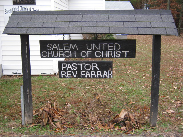
Salem United Church of Christ Cemetery is located at 7639 Nc Highway 49 S Randolph County ,North Carolina ,USA.
-
Salem United Church of Christ Cemetery cemetery's updated grave count on graveviews.com?
5 memorials
-
Where are the coordinates of the Salem United Church of Christ Cemetery?
Latitude: 35.6130480
Longitude: -80.0161770
Nearby Cemetories:
1. Salem United Methodist Church Cemetery
Martha, Randolph County, USA
Coordinate: 35.6255170, -80.0315170
2. Salem Fellowship Church Cemetery
Denton, Davidson County, USA
Coordinate: 35.6268190, -80.0306790
3. Old Fashion Baptist Church Cemetery
Randolph County, USA
Coordinate: 35.6408790, -80.0238300
4. Oak Grove United Methodist Church
Randolph County, USA
Coordinate: 35.5850000, -79.9944830
5. Gravel Hill Baptist Church Cemetery
Denton, Davidson County, USA
Coordinate: 35.5819270, -80.0376700
6. Siloam United Methodist Church Cemetery
Denton, Davidson County, USA
Coordinate: 35.6105830, -80.0636830
7. Mount Ebal United Methodist Church Cemetery
Denton, Davidson County, USA
Coordinate: 35.6261120, -80.0673550
8. Calvary Gospel Church Cemetery
Denton, Davidson County, USA
Coordinate: 35.5666000, -80.0096000
9. Calvary Gospel Church Cemetery
Randolph County, USA
Coordinate: 35.5661590, -80.0100350
10. Farmer United Methodist Church Cemetery
Farmer, Randolph County, USA
Coordinate: 35.6500330, -79.9767170
11. Mathew Skeen Cemetery
Handy, Davidson County, USA
Coordinate: 35.5900200, -80.0694800
12. Uwharrie Friends Burial Ground
Asheboro, Randolph County, USA
Coordinate: 35.6024450, -79.9557920
13. Stout Cemetery
Denton, Davidson County, USA
Coordinate: 35.6439100, -80.0689600
14. Farmer Baptist Church Cemetery
Farmer, Randolph County, USA
Coordinate: 35.6527300, -79.9716300
15. Old Union Cemetery
New Hope, Randolph County, USA
Coordinate: 35.5826800, -79.9581700
16. New Hope United Methodist Church Cemetery
Randolph County, USA
Coordinate: 35.5554830, -80.0143500
17. North Bend Cemetery
Jackson Creek, Randolph County, USA
Coordinate: 35.6730000, -80.0213000
18. Garner Family Cemetery
Denton, Davidson County, USA
Coordinate: 35.6575800, -80.0717900
19. Saint Mark's United Methodist Church
Cedar Grove, Randolph County, USA
Coordinate: 35.6454300, -79.9484300
20. Canaan United Methodist Church Cemetery
Denton, Davidson County, USA
Coordinate: 35.6690000, -80.0630000
21. John Lanier Cemetery
Jackson Hill, Davidson County, USA
Coordinate: 35.5769480, -80.0871950
22. Toms Creek Primitive Baptist Church Cemetery
Denton, Davidson County, USA
Coordinate: 35.6412010, -80.0992966
23. Cooper Mountain Cemetery
Randolph County, USA
Coordinate: 35.5790298, -79.9351180
24. Snider Cemetery
Denton, Davidson County, USA
Coordinate: 35.6614000, -80.0879500


