
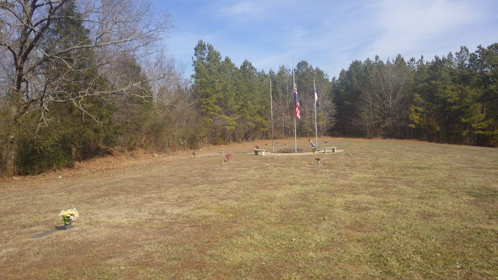
| Memorials | : | 0 |
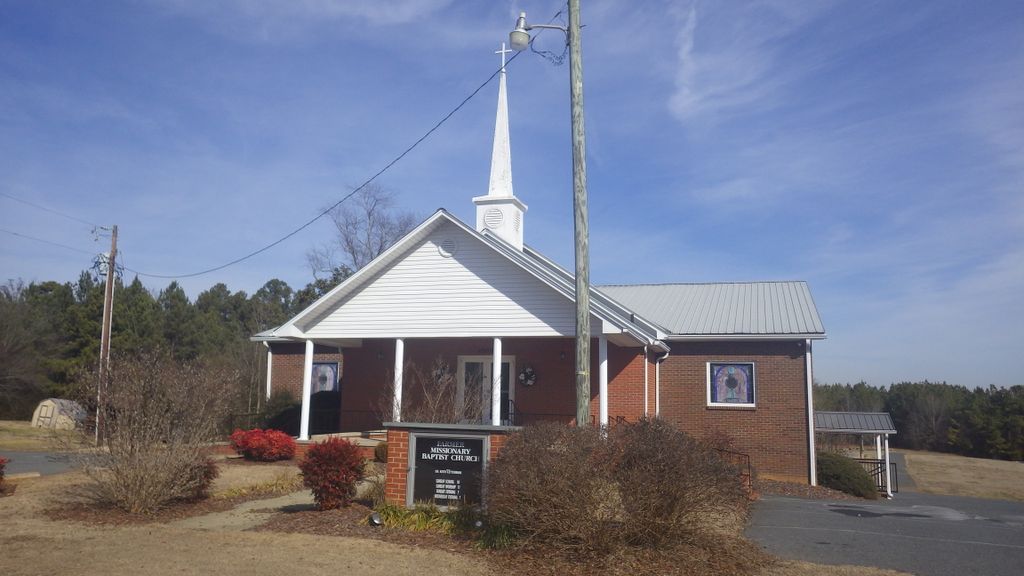
| Location | : | Farmer, Randolph County, USA |
| Coordinate | : | 35.6527300, -79.9716300 |
frequently asked questions (FAQ):
-
Where is Farmer Baptist Church Cemetery?
Farmer Baptist Church Cemetery is located at 4566 Dunbar Bridge Rd Farmer, Randolph County ,North Carolina ,USA.
-
Farmer Baptist Church Cemetery cemetery's updated grave count on graveviews.com?
0 memorials
-
Where are the coordinates of the Farmer Baptist Church Cemetery?
Latitude: 35.6527300
Longitude: -79.9716300
Nearby Cemetories:
1. Farmer United Methodist Church Cemetery
Farmer, Randolph County, USA
Coordinate: 35.6500330, -79.9767170
2. Saint Mark's United Methodist Church
Cedar Grove, Randolph County, USA
Coordinate: 35.6454300, -79.9484300
3. Hoovers Grove Wesleyan Church Cemetery
Randolph County, USA
Coordinate: 35.6829870, -79.9796830
4. Hoover Cemetery
Jackson Creek, Randolph County, USA
Coordinate: 35.6836200, -79.9812800
5. Science Hill Friends Meeting Cemetery
Asheboro, Randolph County, USA
Coordinate: 35.6554090, -79.9310680
6. Pleasant Union Community Church Cemetery
Randolph County, USA
Coordinate: 35.6922910, -79.9885640
7. Old Fashion Baptist Church Cemetery
Randolph County, USA
Coordinate: 35.6408790, -80.0238300
8. North Bend Cemetery
Jackson Creek, Randolph County, USA
Coordinate: 35.6730000, -80.0213000
9. Uwharrie Friends Burial Ground
Asheboro, Randolph County, USA
Coordinate: 35.6024450, -79.9557920
10. Salem United Church of Christ Cemetery
Randolph County, USA
Coordinate: 35.6130480, -80.0161770
11. Mount Tabor Methodist Church Cemetery
Jackson Creek, Randolph County, USA
Coordinate: 35.6954230, -80.0124970
12. Salem Fellowship Church Cemetery
Denton, Davidson County, USA
Coordinate: 35.6268190, -80.0306790
13. Salem United Methodist Church Cemetery
Martha, Randolph County, USA
Coordinate: 35.6255170, -80.0315170
14. Andrew Balfour Family Cemetery
Cedar Grove, Randolph County, USA
Coordinate: 35.6436005, -79.9005966
15. Piney Grove Methodist Church
Jackson Creek, Randolph County, USA
Coordinate: 35.6920000, -80.0340000
16. Pierces Chapel Primitive Baptist Church Cemetery
Trinity, Randolph County, USA
Coordinate: 35.7141953, -80.0097046
17. Oak Grove United Methodist Church
Randolph County, USA
Coordinate: 35.5850000, -79.9944830
18. Old Union Cemetery
New Hope, Randolph County, USA
Coordinate: 35.5826800, -79.9581700
19. New Union United Methodist Church Cemetery
Asheboro, Randolph County, USA
Coordinate: 35.6736920, -79.8880540
20. Canaan United Methodist Church Cemetery
Denton, Davidson County, USA
Coordinate: 35.6690000, -80.0630000
21. Hopewell Friends Meeting Cemetery
Asheboro, Randolph County, USA
Coordinate: 35.6390840, -79.8765500
22. Cooper Mountain Cemetery
Randolph County, USA
Coordinate: 35.5790298, -79.9351180
23. Stout Cemetery
Denton, Davidson County, USA
Coordinate: 35.6439100, -80.0689600
24. Sawyersville Wesleyan Church Cemetery
Asheboro, Randolph County, USA
Coordinate: 35.7155790, -79.9107290