
| Memorials | : | 1 |
| Location | : | Randolph County, USA |
| Coordinate | : | 35.5790298, -79.9351180 |
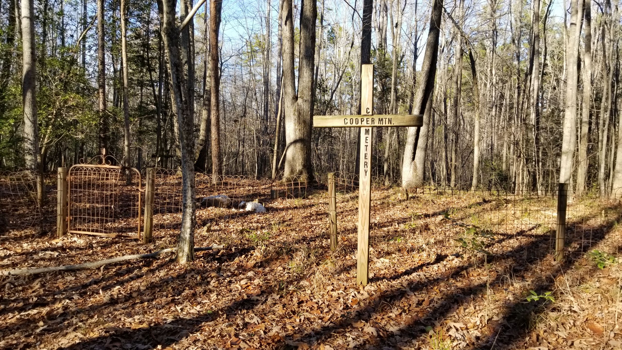
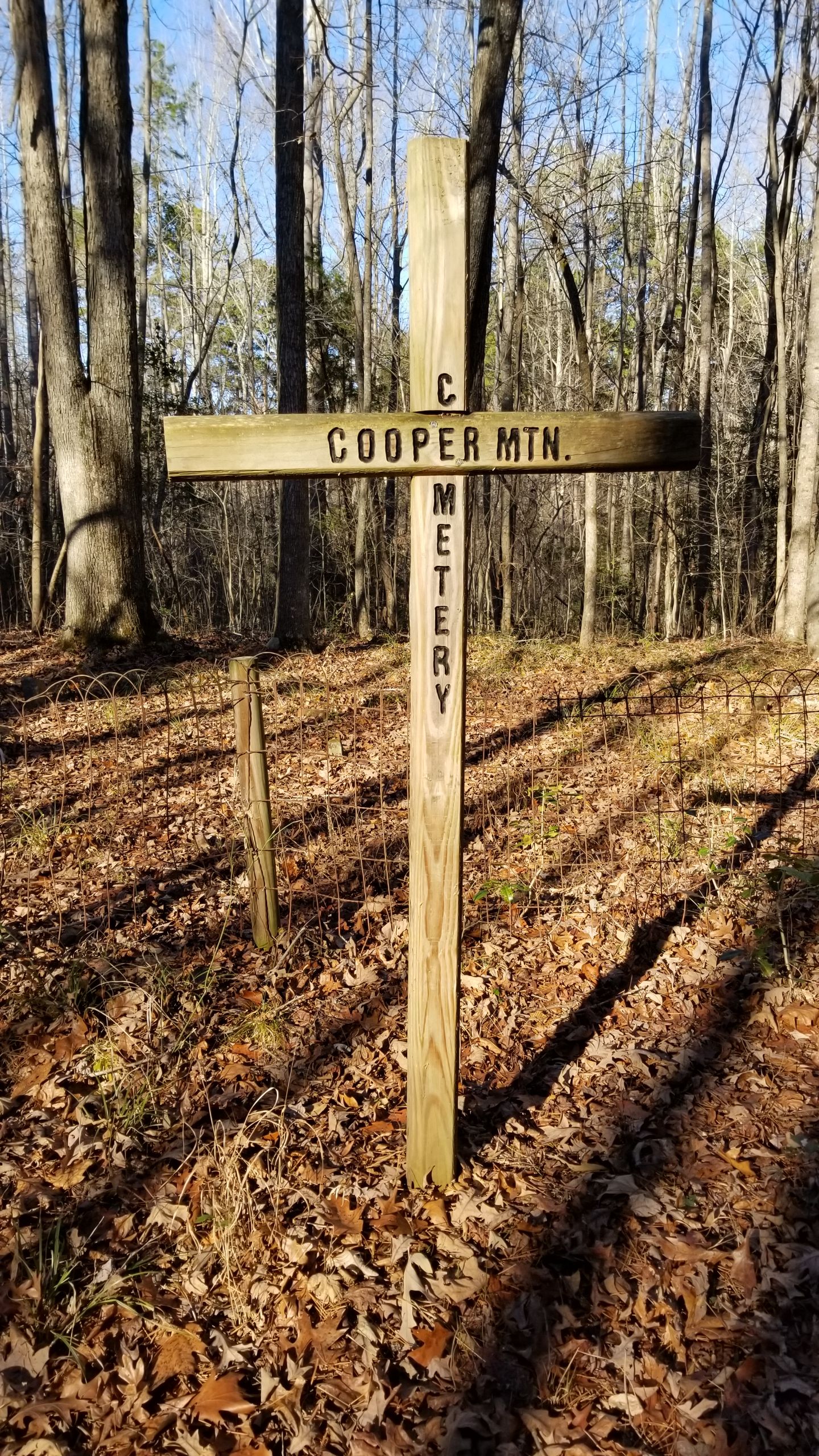
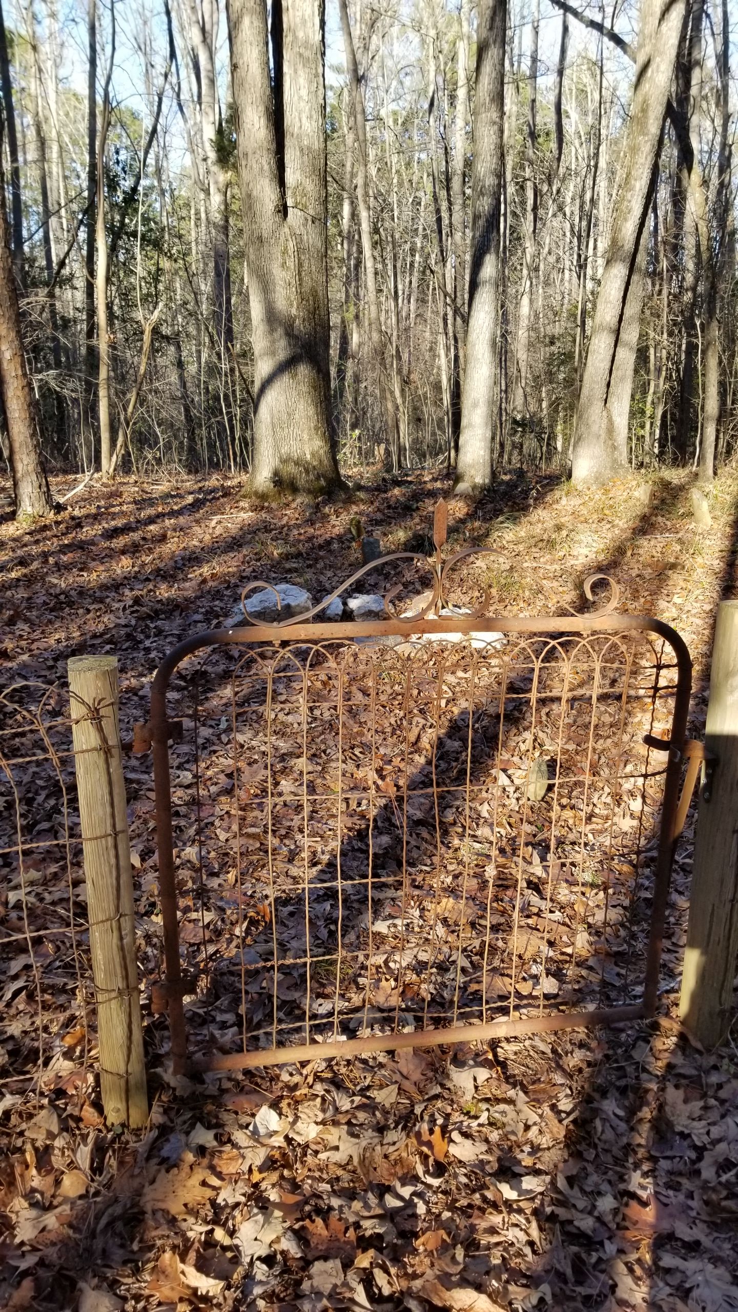
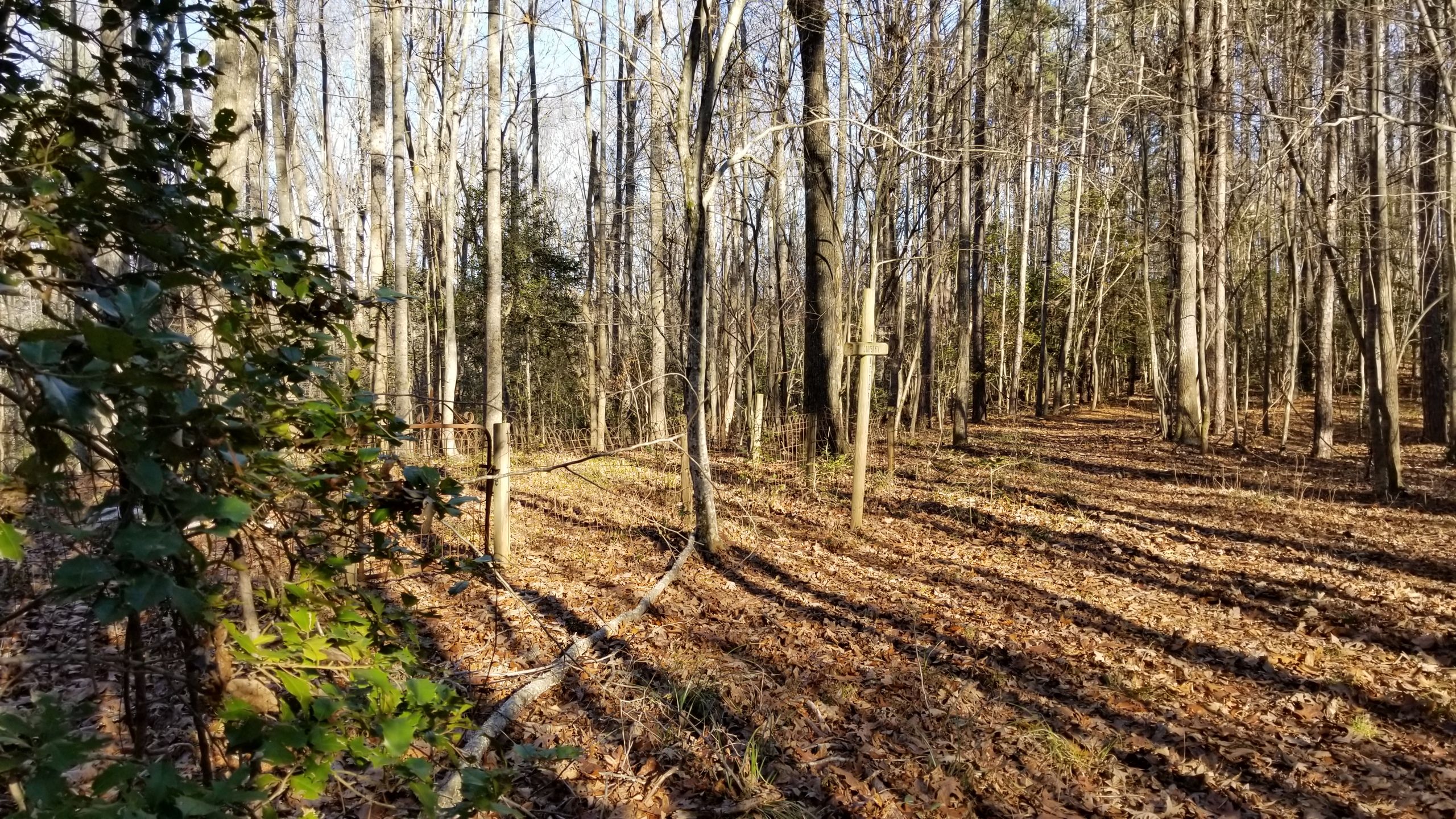
| Description | : | Cooper Mountain Cemetery is a fairly well kept cemetery located in the middle of the woods in the Birkhead Mountain Wilderness within the Uwharrie National Forest in Randolph County, North Carolina. Detailed directions to the cemetery are given below. Anyone wanting to get to the cemetery should be capable of hiking in wooded domain and be able to ford wet streams which may be impassable after rainy weather. Please be aware that this is designated as a state game land and hunting is allowed in season. The cemetery is marked by a cross bearing the name... Read More |
frequently asked questions (FAQ):
-
Where is Cooper Mountain Cemetery?
Cooper Mountain Cemetery is located at Birkhead Mountain Wilderness, Uwharrie National Forest Randolph County ,North Carolina ,USA.
-
Cooper Mountain Cemetery cemetery's updated grave count on graveviews.com?
1 memorials
-
Where are the coordinates of the Cooper Mountain Cemetery?
Latitude: 35.5790298
Longitude: -79.9351180
Nearby Cemetories:
1. Bingham Graveyard
Randolph County, USA
Coordinate: 35.5814261, -79.9267622
2. Old Union Cemetery
New Hope, Randolph County, USA
Coordinate: 35.5826800, -79.9581700
3. Strieby Congregational United Church of Christ Cem
Asheboro, Randolph County, USA
Coordinate: 35.5598130, -79.9326330
4. Callicutt Memorial Church Cemetery
Asheboro, Randolph County, USA
Coordinate: 35.5607390, -79.9118070
5. Uwharrie Friends Burial Ground
Asheboro, Randolph County, USA
Coordinate: 35.6024450, -79.9557920
6. High Pine Wesleyan Church Cemetery
Asheboro, Randolph County, USA
Coordinate: 35.5815239, -79.8943787
7. Luther Cemetery
Pisgah, Randolph County, USA
Coordinate: 35.5464000, -79.9045800
8. Mount Lebanon Baptist Church Cemetery
Asheboro, Randolph County, USA
Coordinate: 35.5363500, -79.9130900
9. Oak Grove United Methodist Church
Randolph County, USA
Coordinate: 35.5850000, -79.9944830
10. Pisgah United Methodist Church Cemetery
Asheboro, Randolph County, USA
Coordinate: 35.5582710, -79.8699840
11. Calvary Gospel Church Cemetery
Denton, Davidson County, USA
Coordinate: 35.5666000, -80.0096000
12. Calvary Gospel Church Cemetery
Randolph County, USA
Coordinate: 35.5661590, -80.0100350
13. Eleazer United Methodist Church Cemetery
Eleazer, Randolph County, USA
Coordinate: 35.5179930, -79.9658560
14. Saint Mark's United Methodist Church
Cedar Grove, Randolph County, USA
Coordinate: 35.6454300, -79.9484300
15. New Hope United Methodist Church Cemetery
Randolph County, USA
Coordinate: 35.5554830, -80.0143500
16. Andrew Balfour Family Cemetery
Cedar Grove, Randolph County, USA
Coordinate: 35.6436005, -79.9005966
17. Griffon Family Cemetery
New Hope, Randolph County, USA
Coordinate: 35.5285100, -79.9969500
18. Salem United Church of Christ Cemetery
Randolph County, USA
Coordinate: 35.6130480, -80.0161770
19. Liberty Fellowship Church
Denton, Davidson County, USA
Coordinate: 35.5337785, -80.0094312
20. Science Hill Friends Meeting Cemetery
Asheboro, Randolph County, USA
Coordinate: 35.6554090, -79.9310680
21. Hopewell Friends Meeting Cemetery
Asheboro, Randolph County, USA
Coordinate: 35.6390840, -79.8765500
22. Farmer United Methodist Church Cemetery
Farmer, Randolph County, USA
Coordinate: 35.6500330, -79.9767170
23. Callicutt Chapel Wesleyan Church Cemetery
Abner, Montgomery County, USA
Coordinate: 35.5008380, -79.9185070
24. Farmer Baptist Church Cemetery
Farmer, Randolph County, USA
Coordinate: 35.6527300, -79.9716300