
| Memorials | : | 7 |
| Location | : | Beloit, Mitchell County, USA |
| Coordinate | : | 39.2695389, -98.1082611 |
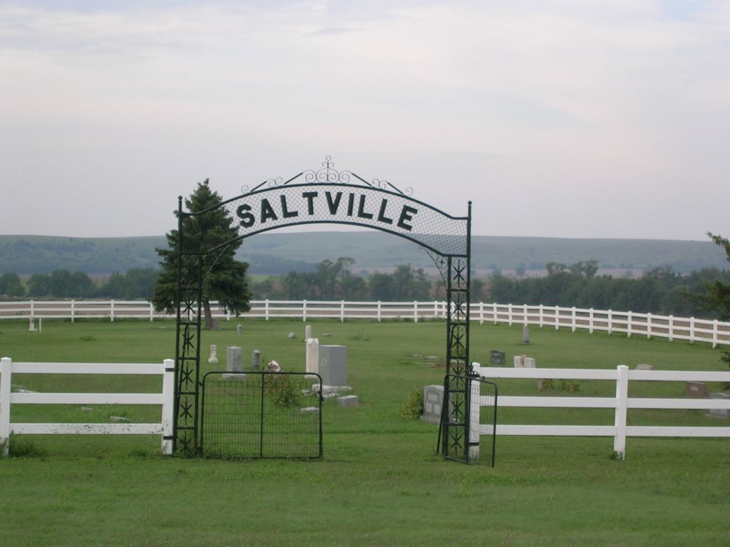
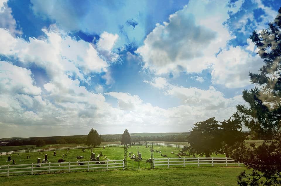
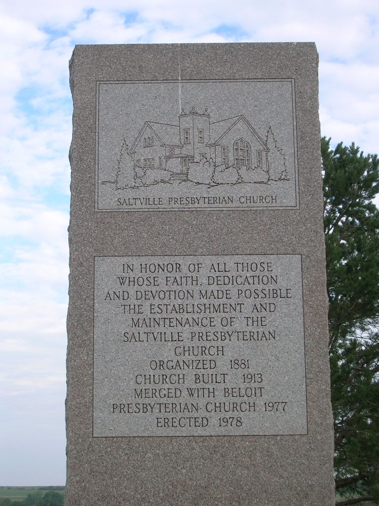
| Description | : | The Mitchell County GIS shows that this single cemetery is actually two cemeteries that lie side by side. The north part of the cemetery has the Saltville name. It is in the Southeast Quarter of the Northwest Quarter (SE¼ NW¼) of Section 16, Township 9 South, Range 7 West, and is 1.5 acres in size. The south part of this cemetery is identified as Fairview Cemetery, It lies in the Northeast Quarter of the Southwest Quarter (NE¼ SW¼) of Section 16, Township 9 South, Range 7 West, and is 2.1 acres in size. |
frequently asked questions (FAQ):
-
Where is Saltville Cemetery?
Saltville Cemetery is located at 3049 V Road Beloit, Mitchell County ,Kansas ,USA.
-
Saltville Cemetery cemetery's updated grave count on graveviews.com?
6 memorials
-
Where are the coordinates of the Saltville Cemetery?
Latitude: 39.2695389
Longitude: -98.1082611
Nearby Cemetories:
1. Pleasant View Cemetery
Beloit, Mitchell County, USA
Coordinate: 39.3360939, -98.1519852
2. New Hope Cemetery
Beloit, Mitchell County, USA
Coordinate: 39.3502998, -98.0875015
3. Union Valley Cemetery
Barnard, Lincoln County, USA
Coordinate: 39.1749992, -98.0980988
4. Shiloh Cemetery
Beloit, Mitchell County, USA
Coordinate: 39.3574982, -98.0594025
5. Milo Cemetery
Barnard, Lincoln County, USA
Coordinate: 39.2005997, -98.0160980
6. Coursen Grove Cemetery
Simpson, Mitchell County, USA
Coordinate: 39.3060989, -97.9792023
7. Green Mound Cemetery
Asherville, Mitchell County, USA
Coordinate: 39.3203011, -97.9858017
8. Round Springs Cemetery
Round Springs Township, Mitchell County, USA
Coordinate: 39.2485352, -98.2560043
9. Elmira Cemetery
Beloit, Mitchell County, USA
Coordinate: 39.3498640, -98.2422790
10. Hopewell Cemetery
Beloit, Mitchell County, USA
Coordinate: 39.3800011, -98.2097015
11. Elkhorn Cemetery
Lincoln County, USA
Coordinate: 39.1469002, -98.0130997
12. Bethany Cemetery
Lincoln County, USA
Coordinate: 39.1749992, -98.2621994
13. Prairie Grove Cemetery
Denmark, Lincoln County, USA
Coordinate: 39.1478004, -98.2277985
14. Simpson Cemetery
Simpson, Mitchell County, USA
Coordinate: 39.3633003, -97.9471970
15. Sunnyside Cemetery
Barnard, Lincoln County, USA
Coordinate: 39.1130981, -98.0627975
16. Bohemian National Cemetery
Ada, Ottawa County, USA
Coordinate: 39.2193870, -97.9054030
17. Baldwin Cemetery
Ottawa County, USA
Coordinate: 39.2061005, -97.9111023
18. Trail Creek Cemetery
Ash Grove, Lincoln County, USA
Coordinate: 39.1472015, -98.2743988
19. Bell-Bogardus Cemetery
Asherville, Mitchell County, USA
Coordinate: 39.4242410, -97.9919970
20. Asherville Cemetery
Asherville, Mitchell County, USA
Coordinate: 39.4205000, -97.9672900
21. Spring Creek Cemetery
Beverly, Lincoln County, USA
Coordinate: 39.1255989, -97.9458008
22. Pleasant Valley Cemetery
Beloit, Mitchell County, USA
Coordinate: 39.4555900, -98.1722200
23. Saint Johns Cemetery
Beloit, Mitchell County, USA
Coordinate: 39.4667015, -98.1018982
24. Smith Cemetery
Asherville, Mitchell County, USA
Coordinate: 39.4516690, -98.0098850