
| Memorials | : | 0 |
| Location | : | Barnard, Lincoln County, USA |
| Coordinate | : | 39.1749992, -98.0980988 |
frequently asked questions (FAQ):
-
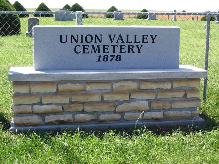
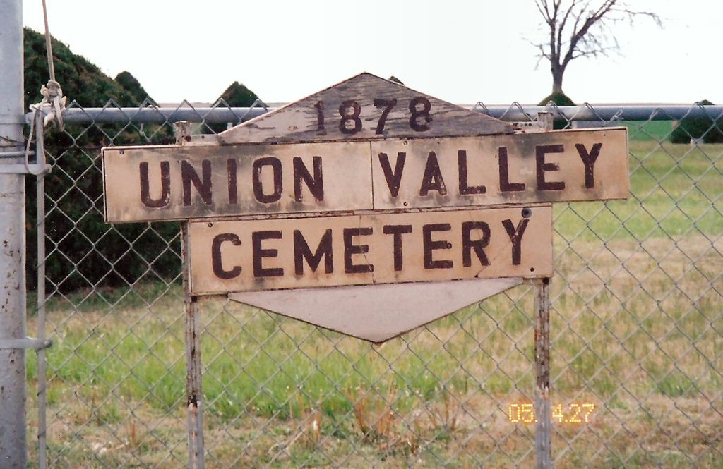
Where is Union Valley Cemetery?
Union Valley Cemetery is located at 2196 N. 220th Road Barnard, Lincoln County ,Kansas ,USA.
-
Union Valley Cemetery cemetery's updated grave count on graveviews.com?
0 memorials
-
Where are the coordinates of the Union Valley Cemetery?
Latitude: 39.1749992
Longitude: -98.0980988
Nearby Cemetories:
1. Sunnyside Cemetery
Barnard, Lincoln County, USA
Coordinate: 39.1130981, -98.0627975
2. Milo Cemetery
Barnard, Lincoln County, USA
Coordinate: 39.2005997, -98.0160980
3. Elkhorn Cemetery
Lincoln County, USA
Coordinate: 39.1469002, -98.0130997
4. Saltville Cemetery
Beloit, Mitchell County, USA
Coordinate: 39.2695389, -98.1082611
5. Prairie Grove Cemetery
Denmark, Lincoln County, USA
Coordinate: 39.1478004, -98.2277985
6. Lincoln County Poor Farm Cemetery
Lincoln, Lincoln County, USA
Coordinate: 39.0588100, -98.0954300
7. Bethany Cemetery
Lincoln County, USA
Coordinate: 39.1749992, -98.2621994
8. Spring Creek Cemetery
Beverly, Lincoln County, USA
Coordinate: 39.1255989, -97.9458008
9. Trail Creek Cemetery
Ash Grove, Lincoln County, USA
Coordinate: 39.1472015, -98.2743988
10. Lincoln Cemetery
Lincoln, Lincoln County, USA
Coordinate: 39.0377998, -98.1342010
11. Round Springs Cemetery
Round Springs Township, Mitchell County, USA
Coordinate: 39.2485352, -98.2560043
12. Baldwin Cemetery
Ottawa County, USA
Coordinate: 39.2061005, -97.9111023
13. Bohemian National Cemetery
Ada, Ottawa County, USA
Coordinate: 39.2193870, -97.9054030
14. Mission Cemetery
Lincoln County, USA
Coordinate: 39.0816994, -98.2611008
15. Coursen Grove Cemetery
Simpson, Mitchell County, USA
Coordinate: 39.3060989, -97.9792023
16. Saint Patricks Cemetery
Lincoln, Lincoln County, USA
Coordinate: 39.0161018, -98.1508026
17. Denmark Lutheran Cemetery
Denmark, Lincoln County, USA
Coordinate: 39.0891080, -98.2783810
18. Pleasant View Cemetery
Beloit, Mitchell County, USA
Coordinate: 39.3360939, -98.1519852
19. Green Mound Cemetery
Asherville, Mitchell County, USA
Coordinate: 39.3203011, -97.9858017
20. Shady Bend Cemetery
Lincoln County, USA
Coordinate: 39.0112900, -98.0402420
21. Saint Borgia Cemetery
Ada, Ottawa County, USA
Coordinate: 39.1612050, -97.8739330
22. Fairview Cemetery
Ada, Ottawa County, USA
Coordinate: 39.1610985, -97.8735962
23. Twin Hills Cemetery
Ottawa County, USA
Coordinate: 39.0891991, -97.9019012
24. New Hope Cemetery
Beloit, Mitchell County, USA
Coordinate: 39.3502998, -98.0875015