
| Memorials | : | 0 |
| Location | : | Lamine, Cooper County, USA |
| Coordinate | : | 39.0060000, -92.9072000 |
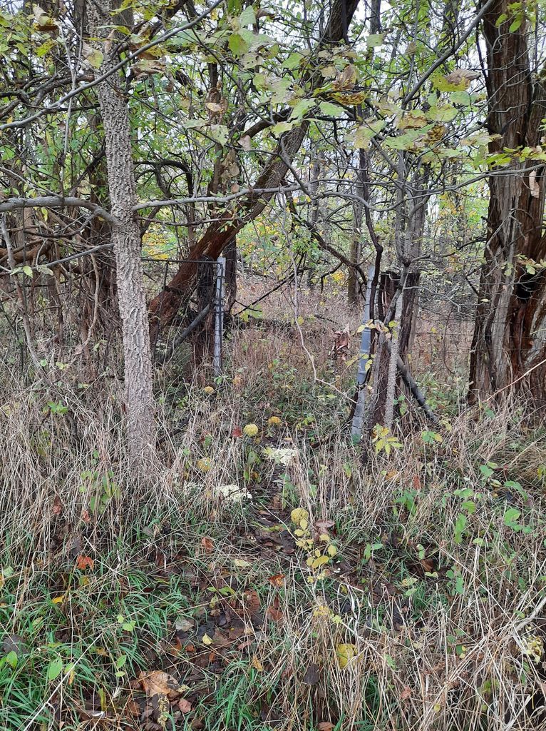
| Description | : | The cemetery is located on private ground north northwest of Lamine in Cooper County and south of Arrow Rock which is in Saline County. The county line cuts a diagonal south of Arrow Rock. The cemetery is in Township 49N, Range 18W, in Section 20. More specifically it is in the northwest quarter of the southwest quarter of the northeast quarter of the northeast quarter of Section 20. It lies in the Lamine Township of Cooper County and is in the Arrow Rock topographic quadrant. It is 5.8 miles south of the town of Arrow Rock and overlooks the Missouri... Read More |
frequently asked questions (FAQ):
-
Where is Samuel McMahan Family Cemetery?
Samuel McMahan Family Cemetery is located at Lamine, Cooper County ,Missouri ,USA.
-
Samuel McMahan Family Cemetery cemetery's updated grave count on graveviews.com?
0 memorials
-
Where are the coordinates of the Samuel McMahan Family Cemetery?
Latitude: 39.0060000
Longitude: -92.9072000
Nearby Cemetories:
1. William Reid Family Cemetery
Lamine Township, Cooper County, USA
Coordinate: 39.0240000, -92.9240000
2. Hoke Cemetery
Cooper County, USA
Coordinate: 39.0233002, -92.9480972
3. Thomas McMahan Jr. Cemetery
Lamine, Cooper County, USA
Coordinate: 39.0229560, -92.9506480
4. Old Lamine Cemetery
Lamine, Cooper County, USA
Coordinate: 38.9683330, -92.9275000
5. Herndon Cemetery
Cooper County, USA
Coordinate: 38.9592018, -92.8767014
6. Schuster Family Cemetery
Lamine, Cooper County, USA
Coordinate: 38.9526600, -92.8862720
7. Williams Burials Grounds
Cooper County, USA
Coordinate: 38.9696750, -92.8270000
8. Arrow Rock Cemetery
Arrow Rock, Saline County, USA
Coordinate: 39.0659000, -92.9599700
9. Townsend Cemetery
Nelson, Saline County, USA
Coordinate: 39.0275002, -92.9982986
10. West Boonville Evangelical Church Cemetery
Boonville, Cooper County, USA
Coordinate: 38.9593981, -92.8282225
11. Sappington Cemetery
Arrow Rock Township, Saline County, USA
Coordinate: 39.0327988, -93.0072021
12. Boonesboro Christian Church Cemetery
Boonesboro, Howard County, USA
Coordinate: 39.0735560, -92.8443460
13. Allison Family Cemetery
Blackwater, Cooper County, USA
Coordinate: 38.9447910, -92.9801270
14. Jones Chapel Cemetery
Cooper County, USA
Coordinate: 38.9433060, -92.8348710
15. Peninsula Cemetery
Lamine, Cooper County, USA
Coordinate: 38.9482840, -92.9915830
16. Sappington Negro Cemetery
Saline County, USA
Coordinate: 39.0332600, -93.0143700
17. Nelson Cemetery
Nelson, Saline County, USA
Coordinate: 39.0008011, -93.0214005
18. Burrus Family Cemetery
Franklin, Howard County, USA
Coordinate: 39.0573158, -92.8109512
19. Saint Martins Cemetery
Pilot Grove, Cooper County, USA
Coordinate: 38.9169006, -92.8778000
20. Clarks Chapel Cemetery
New Franklin, Howard County, USA
Coordinate: 39.0102910, -92.7851010
21. Marshall Cemetery
Nelson, Saline County, USA
Coordinate: 39.0043890, -93.0295910
22. Nelson Cemetery
Nelson, Saline County, USA
Coordinate: 39.0040400, -93.0317700
23. Rose Hill Cemetery
Lisbon, Howard County, USA
Coordinate: 39.1094017, -92.8977966
24. Salt Fork Cemetery
Blackwater, Cooper County, USA
Coordinate: 38.9670800, -93.0367700