
| Memorials | : | 0 |
| Location | : | Lamine, Cooper County, USA |
| Coordinate | : | 38.9526600, -92.8862720 |
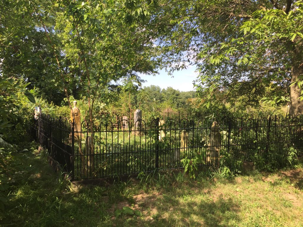
| Description | : | This cemetery is located on private property belonging to Roger and Nancy Kueckelhan. Please contact them for permission to access the cemetery before visiting. More information at http://cooper.mogenweb.org/Cemeteries/SCHUSTER_FAMILY_CEMETERY.pdf |
frequently asked questions (FAQ):
-
Where is Schuster Family Cemetery?
Schuster Family Cemetery is located at 18327 Hwy 41 Lamine, Cooper County ,Missouri , 65322USA.
-
Schuster Family Cemetery cemetery's updated grave count on graveviews.com?
0 memorials
-
Where are the coordinates of the Schuster Family Cemetery?
Latitude: 38.9526600
Longitude: -92.8862720
Nearby Cemetories:
1. Herndon Cemetery
Cooper County, USA
Coordinate: 38.9592018, -92.8767014
2. Old Lamine Cemetery
Lamine, Cooper County, USA
Coordinate: 38.9683330, -92.9275000
3. Saint Martins Cemetery
Pilot Grove, Cooper County, USA
Coordinate: 38.9169006, -92.8778000
4. Jones Chapel Cemetery
Cooper County, USA
Coordinate: 38.9433060, -92.8348710
5. West Boonville Evangelical Church Cemetery
Boonville, Cooper County, USA
Coordinate: 38.9593981, -92.8282225
6. Williams Burials Grounds
Cooper County, USA
Coordinate: 38.9696750, -92.8270000
7. Samuel McMahan Family Cemetery
Lamine, Cooper County, USA
Coordinate: 39.0060000, -92.9072000
8. Prairie Lick Cemetery
Billingsville, Cooper County, USA
Coordinate: 38.9170410, -92.8257630
9. Pleasant Hill Cemetery
Cooper County, USA
Coordinate: 38.8955994, -92.8383026
10. Allison Family Cemetery
Blackwater, Cooper County, USA
Coordinate: 38.9447910, -92.9801270
11. Pilot Grove City Cemetery
Pilot Grove, Cooper County, USA
Coordinate: 38.8788930, -92.9131360
12. William Reid Family Cemetery
Lamine Township, Cooper County, USA
Coordinate: 39.0240000, -92.9240000
13. Garibaldi Mausoleum
Carano, Provincia di Latina, Italy
Coordinate: 38.8747215, -92.9113922
14. Peninsula Cemetery
Lamine, Cooper County, USA
Coordinate: 38.9482840, -92.9915830
15. Hoke Cemetery
Cooper County, USA
Coordinate: 39.0233002, -92.9480972
16. Saint Johns UCC Cemetery
Billingsville, Cooper County, USA
Coordinate: 38.9042410, -92.7951050
17. Thomas McMahan Jr. Cemetery
Lamine, Cooper County, USA
Coordinate: 39.0229560, -92.9506480
18. Saint Joseph's Catholic Cemetery
Pilot Grove, Cooper County, USA
Coordinate: 38.8636017, -92.9088974
19. Cooper County Poor Farm Cemetery
Boonville, Cooper County, USA
Coordinate: 38.9108430, -92.7820330
20. Wesley Chapel Cemetery
Pilot Grove, Cooper County, USA
Coordinate: 38.8626750, -92.9235120
21. Mount Vernon Cemetery
Pilot Grove, Cooper County, USA
Coordinate: 38.8586006, -92.9150009
22. Clarks Chapel Cemetery
New Franklin, Howard County, USA
Coordinate: 39.0102910, -92.7851010
23. Sunset Hills Cemetery
Boonville, Cooper County, USA
Coordinate: 38.9636130, -92.7458480
24. Saint Paul Cemetery New
Pilot Grove, Cooper County, USA
Coordinate: 38.8642350, -92.9722930