| Memorials | : | 0 |
| Location | : | Hollister, San Benito County, USA |
| Coordinate | : | 36.4859009, -121.2306976 |
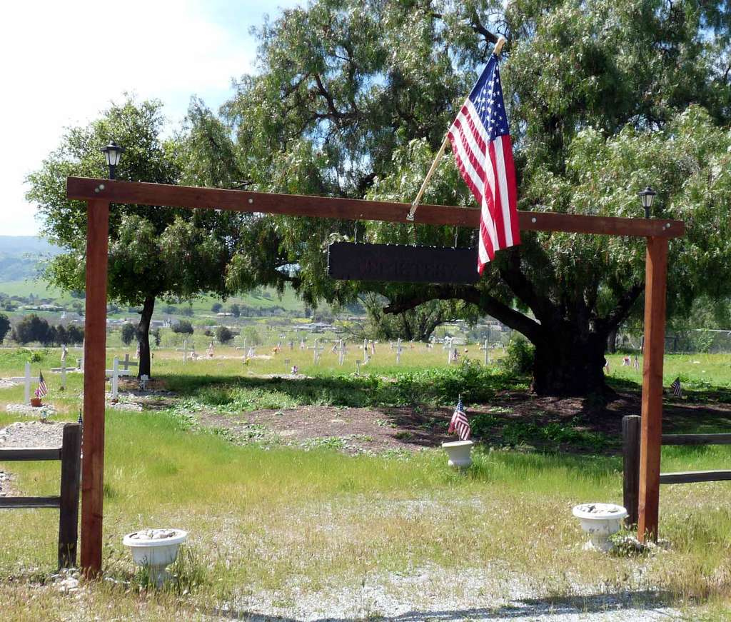
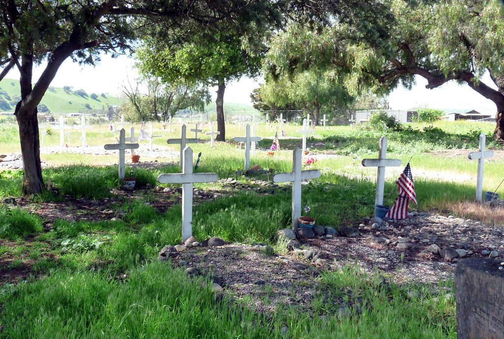
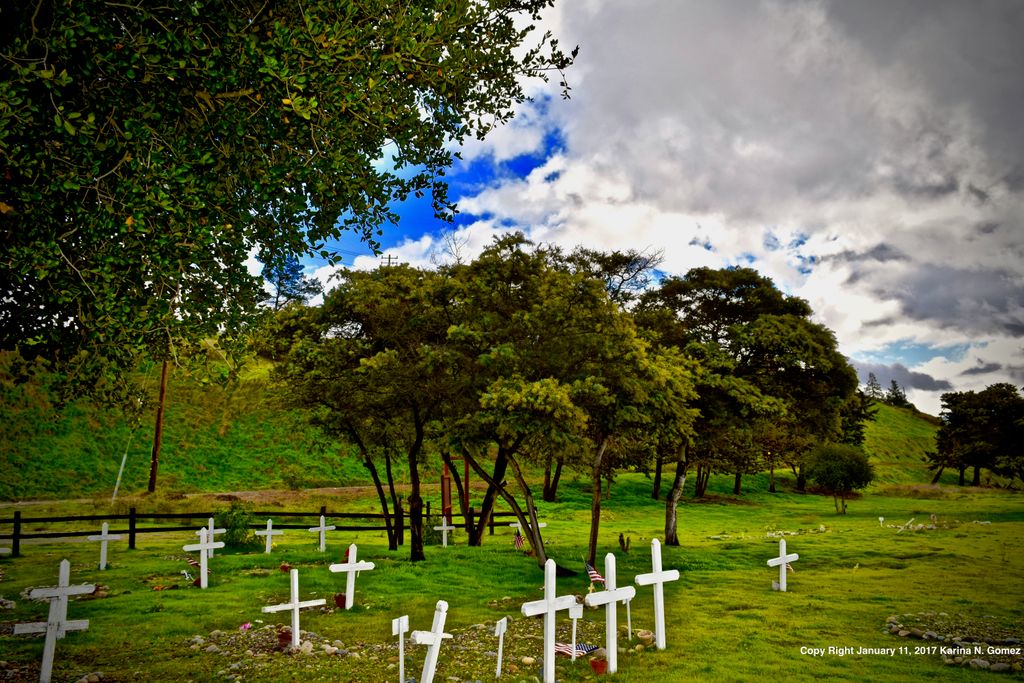
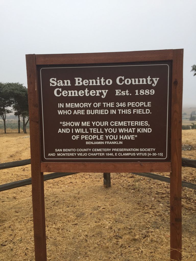
| Description | : | To reach cemetery from Hwy 101 take the Hollister/San Juan Bautista/156 East exit. Drive 7 miles turn right on Union Road. Drive 4 miles and turn right on Southside Road. The cemetery is on the right side of the road 1 mile down. San Benito County Cemetery was founded in 1889 and closed to new interments in 1968. San Benito County owns the cemetery but it is maintained by the San Benito County Cemetery Preservation Society. |
frequently asked questions (FAQ):
-
Where is San Benito County Cemetery?
San Benito County Cemetery is located at Southside Road Hollister, San Benito County ,California , 95023USA.
-
San Benito County Cemetery cemetery's updated grave count on graveviews.com?
0 memorials
-
Where are the coordinates of the San Benito County Cemetery?
Latitude: 36.4859009
Longitude: -121.2306976
Nearby Cemetories:
1. Soledad Cemetery
Soledad, Monterey County, USA
Coordinate: 36.4275131, -121.3124542
2. Willow Creek Cemetery
San Benito County, USA
Coordinate: 36.5957985, -121.1903000
3. Soledad Mission Cemetery
Soledad, Monterey County, USA
Coordinate: 36.4047460, -121.3561260
4. Greenfield Cemetery
Greenfield, Monterey County, USA
Coordinate: 36.3347130, -121.2128372
5. Gonzales Cemetery
Gonzales, Monterey County, USA
Coordinate: 36.4947014, -121.4300003
6. Greenfield Holy Trinity Cemetery
Greenfield, Monterey County, USA
Coordinate: 36.3164139, -121.2428131
7. Bitterwater Cemetery
Rock Spring Peak, San Benito County, USA
Coordinate: 36.4006004, -120.9916992
8. Paicines Cemetery
Paicines, San Benito County, USA
Coordinate: 36.7088580, -121.2456330
9. Cherry Hill Cemetery
Panoche, San Benito County, USA
Coordinate: 36.6150017, -120.9586029
10. King City Cemetery
King City, Monterey County, USA
Coordinate: 36.2066078, -121.1374207
11. Yamato Cemetery
Salinas, Monterey County, USA
Coordinate: 36.6552811, -121.6307297
12. Saint Benedicts Columbarium
Hollister, San Benito County, USA
Coordinate: 36.8337440, -121.3667120
13. Garden of Memories
Salinas, Monterey County, USA
Coordinate: 36.6565247, -121.6384125
14. Calvary-Sacred Heart Cemetery
Hollister, San Benito County, USA
Coordinate: 36.8483009, -121.3767014
15. Saint Pauls Episcopal Church Columbarium
Salinas, Monterey County, USA
Coordinate: 36.6588430, -121.6558850
16. Mansfield Cemetery
King City, Monterey County, USA
Coordinate: 36.1030320, -121.1478060
17. Monterey County Potters Field Cemetery
Salinas, Monterey County, USA
Coordinate: 36.6960900, -121.6381950
18. Chinese Cemetery
Salinas, Monterey County, USA
Coordinate: 36.6952057, -121.6390381
19. Odd Fellows Cemetery
Hollister, San Benito County, USA
Coordinate: 36.8571210, -121.4104100
20. Saint Georges Episcopal Church Columbarium
Salinas, Monterey County, USA
Coordinate: 36.7062580, -121.6440980
21. San Lucas Cemetery
San Lucas, Monterey County, USA
Coordinate: 36.1258354, -121.0134735
22. Church of the Good Shepherd Cemetery
Salinas, Monterey County, USA
Coordinate: 36.5413990, -121.7260410
23. Long Valley Cemetery
San Lucas, Monterey County, USA
Coordinate: 36.1467700, -120.9545100
24. Barbree Ranch Cemetery
San Lucas, Monterey County, USA
Coordinate: 36.0914030, -121.0822670


