
| Memorials | : | 0 |
| Location | : | Brownsville, Cameron County, USA |
| Coordinate | : | 25.8572900, -97.3909400 |
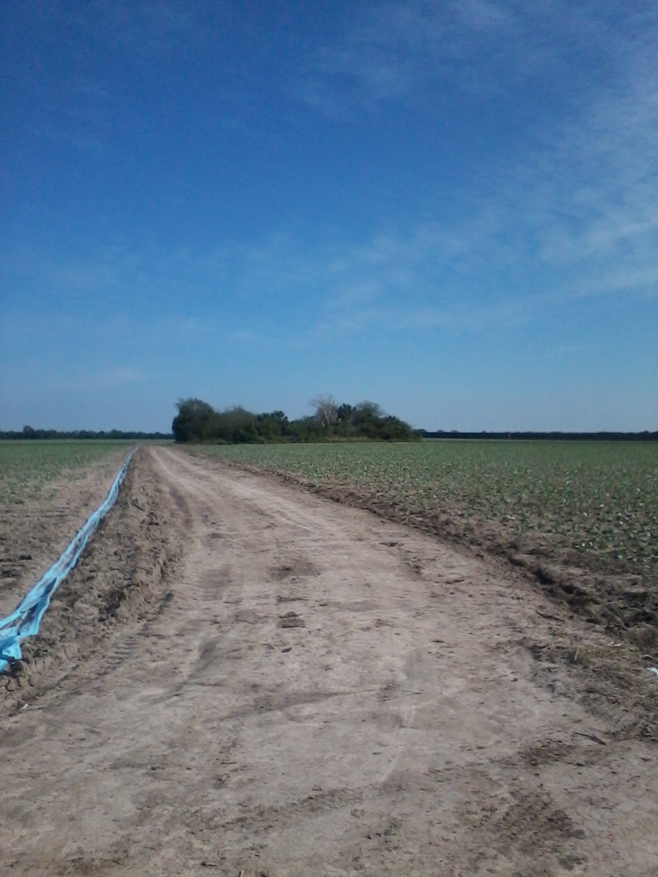
| Description | : | Follow Southmost Road, past Indiana (511), past Southpoint Road. There is small utility shed at the turnoff. Turn right just past the shed and before drainage ditch. Follow dirt road to the left of the shed. Go to the first bridge on left, turn left, go straight to the clump of woods, stop about the middle. Small cemetery straight into the brush, about 2 dozen headstones. Heavily wooded, hard to navigate. Instead of straight, you can also go to the right toward the border wall and stop at other end (south) at middle of the clump woods. Headstones are more or less... Read More |
frequently asked questions (FAQ):
-
Where is San Rafael Ray Cemetery?
San Rafael Ray Cemetery is located at Brownsville, Cameron County ,Texas , 78520USA.
-
San Rafael Ray Cemetery cemetery's updated grave count on graveviews.com?
0 memorials
-
Where are the coordinates of the San Rafael Ray Cemetery?
Latitude: 25.8572900
Longitude: -97.3909400
Nearby Cemetories:
1. San Rafael Cemetery
Brownsville, Cameron County, USA
Coordinate: 25.8497510, -97.3879670
2. Brulay Cemetery
Brownsville, Cameron County, USA
Coordinate: 25.8659550, -97.4078190
3. Panteón del Ejido Longoreño
El Longoreno, Matamoros Municipality, Mexico
Coordinate: 25.8343570, -97.4027880
4. Parque Funeral San Joaquín
El Longoreno, Matamoros Municipality, Mexico
Coordinate: 25.8317440, -97.4040870
5. Panteón de Lucio Blanco
Lucio Blanco, Matamoros Municipality, Mexico
Coordinate: 25.8459680, -97.4469570
6. Panteón de La Carrera
La Carrera, Matamoros Municipality, Mexico
Coordinate: 25.8981300, -97.3531740
7. Guillen Community Cemetery
Brownsville, Cameron County, USA
Coordinate: 25.9205000, -97.3883000
8. Los Sauces Ranch Cemetery
Brownsville, Cameron County, USA
Coordinate: 25.9204800, -97.3625700
9. Santa Rosalia Cemetery
Brownsville, Cameron County, USA
Coordinate: 25.8875008, -97.4606018
10. Panteón Nuevo de Matamoros
Heroica Matamoros, Matamoros Municipality, Mexico
Coordinate: 25.8767010, -97.4894430
11. Cathedral Church of the Immaculate Conception
Brownsville, Cameron County, USA
Coordinate: 25.9025300, -97.4955600
12. Campo Santo Viejo Cemetery
Brownsville, Cameron County, USA
Coordinate: 25.9045200, -97.4948800
13. Buena Vista Burial Park
Brownsville, Cameron County, USA
Coordinate: 25.9160995, -97.4886017
14. Panteón Antiguo de Matamoros
Heroica Matamoros, Matamoros Municipality, Mexico
Coordinate: 25.8760880, -97.5102200
15. Panteón Jardines Del Recuerdo
Heroica Matamoros, Matamoros Municipality, Mexico
Coordinate: 25.8135258, -97.5021779
16. Panteón Ejido 20 de Noviembre
Heroica Matamoros, Matamoros Municipality, Mexico
Coordinate: 25.8288007, -97.5084854
17. Old City Cemetery
Brownsville, Cameron County, USA
Coordinate: 25.9092007, -97.5006027
18. Circle 'L' Cemetery
Brownsville, Cameron County, USA
Coordinate: 25.9516180, -97.3235360
19. Hebrew Cemetery
Brownsville, Cameron County, USA
Coordinate: 25.9102600, -97.5022400
20. Church of the Advent Columbarium
Brownsville, Cameron County, USA
Coordinate: 25.9104555, -97.5076436
21. Panteón Jardín
Heroica Matamoros, Matamoros Municipality, Mexico
Coordinate: 25.8399130, -97.5220300
22. Rose Lawn Memorial Gardens
Brownsville, Cameron County, USA
Coordinate: 25.9684800, -97.4515000
23. El Jardin Cemetery
Brownsville, Cameron County, USA
Coordinate: 25.9687000, -97.4516900
24. Panteón Francisco Rincón
Buenavista, Matamoros Municipality, Mexico
Coordinate: 25.8185340, -97.5280920