
| Memorials | : | 18 |
| Location | : | Blaine, Aroostook County, USA |
| Coordinate | : | 46.4797600, -67.8532000 |
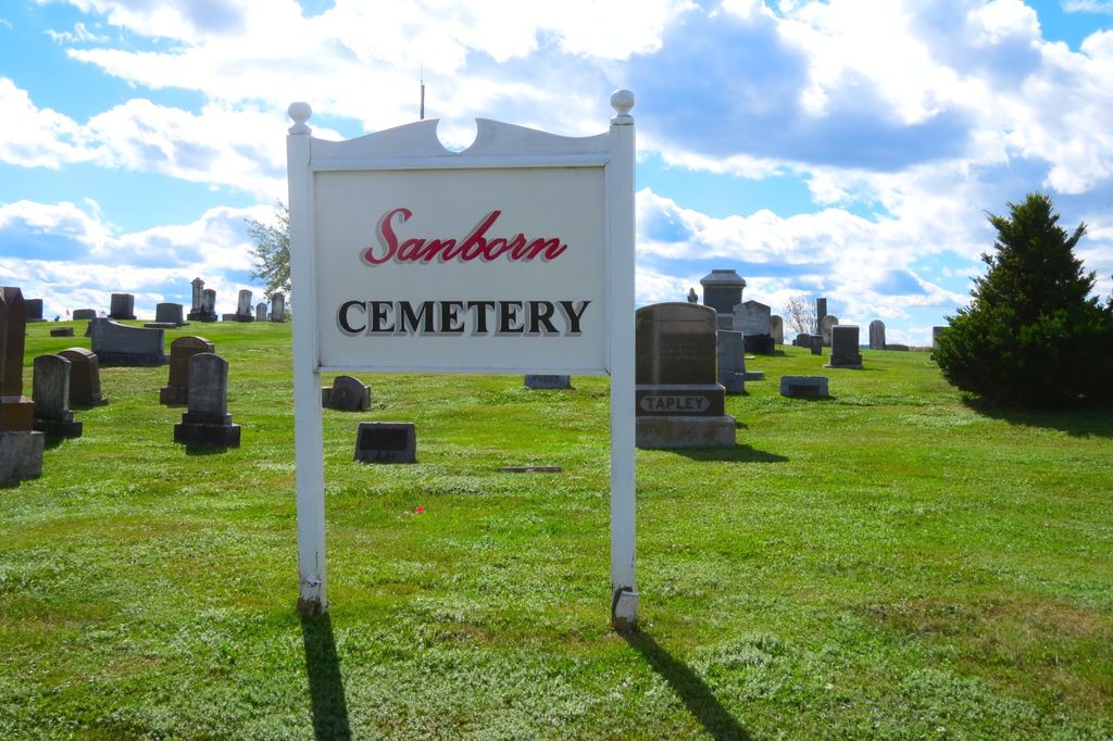
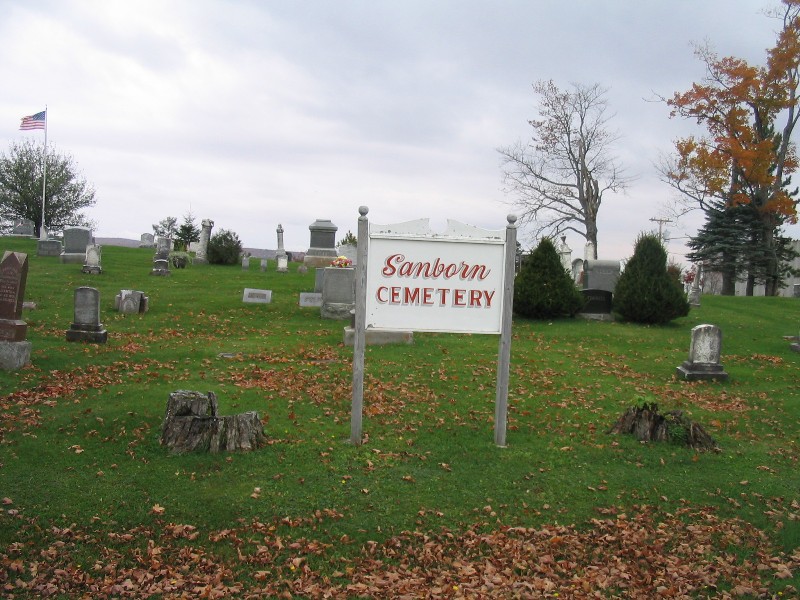
| Description | : | Sanborn Cemetery, also known as Robinson Cemetery, is on the west side of the Old Houlton Road (Route 1A bypass) just south of Griffin Road, in Blaine, Aroostook County, Maine, north of Robinson Road. |
frequently asked questions (FAQ):
-
Where is Sanborn Cemetery?
Sanborn Cemetery is located at Blaine, Aroostook County ,Maine ,USA.
-
Sanborn Cemetery cemetery's updated grave count on graveviews.com?
18 memorials
-
Where are the coordinates of the Sanborn Cemetery?
Latitude: 46.4797600
Longitude: -67.8532000
Nearby Cemetories:
1. Tapley Cemetery
Blaine, Aroostook County, USA
Coordinate: 46.4944920, -67.8681870
2. Corner Cemetery
Bridgewater, Aroostook County, USA
Coordinate: 46.4558990, -67.8530960
3. Bridgewater Mennonite Church Cemetery
Bridgewater, Aroostook County, USA
Coordinate: 46.4512841, -67.8446239
4. East Blaine Cemetery
Blaine, Aroostook County, USA
Coordinate: 46.4953800, -67.8143500
5. Snow Cemetery
Mars Hill, Aroostook County, USA
Coordinate: 46.5172480, -67.8843660
6. Boundary Cemetery
Bridgewater, Aroostook County, USA
Coordinate: 46.4508171, -67.7971878
7. Kings Grove Cemetery
Mars Hill, Aroostook County, USA
Coordinate: 46.5325012, -67.8557968
8. Royalton Cemetery
Wicklow, Carleton County, Canada
Coordinate: 46.4820030, -67.7707210
9. Smith Cemetery
Bridgewater, Aroostook County, USA
Coordinate: 46.4118800, -67.8420870
10. Lower Knoxford Cemetery
Knoxford, Carleton County, Canada
Coordinate: 46.4906400, -67.7368900
11. Pierce Cemetery
Mars Hill, Aroostook County, USA
Coordinate: 46.5602989, -67.8692017
12. Upper Knoxford Cemetery
Upper Knoxford, Carleton County, Canada
Coordinate: 46.5205700, -67.7492700
13. Tracey Mills United Baptist Cemetery
Tracey Mills, Carleton County, Canada
Coordinate: 46.4406586, -67.7464600
14. Marshall Cemetery
Westfield, Aroostook County, USA
Coordinate: 46.5635986, -67.9464035
15. St. Paul's United Church Cemetery
Centreville, Carleton County, Canada
Coordinate: 46.4331605, -67.7121574
16. St. James Anglican Church Cemetery
Centreville, Carleton County, Canada
Coordinate: 46.4331400, -67.7119700
17. Summerfield Cemetery
Wicklow, Carleton County, Canada
Coordinate: 46.5249990, -67.7083540
18. United Baptist Church Cemetery
Centreville, Carleton County, Canada
Coordinate: 46.4323100, -67.7075500
19. Greenfield Anglican Cemetery
Greenfield, Carleton County, Canada
Coordinate: 46.4900710, -67.6862390
20. Good Corner Cemetery
Good Corner, Carleton County, Canada
Coordinate: 46.3864400, -67.7408800
21. Pomphrey Island Cemetery
Clearview, Carleton County, Canada
Coordinate: 46.5637693, -67.7153083
22. Wharton Cemetery
Upper Kent, Carleton County, Canada
Coordinate: 46.5583300, -67.7011100
23. St Bartholomew Catholic Cemetery
Clearview, Carleton County, Canada
Coordinate: 46.5730900, -67.7196300
24. Carvell Cemetery
Carvell, Carleton County, Canada
Coordinate: 46.3613000, -67.7698700