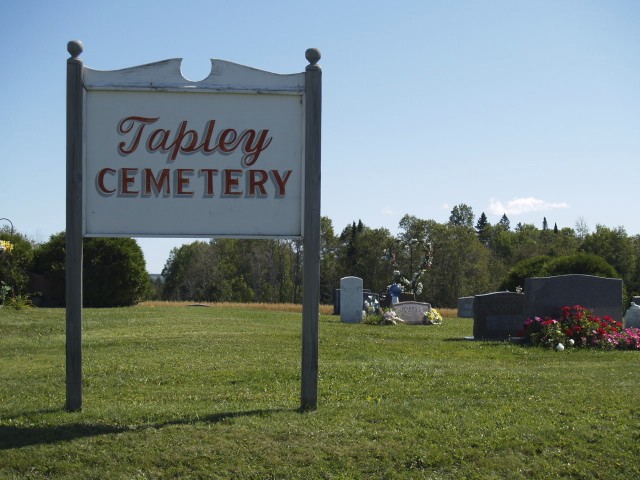
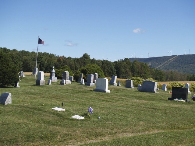
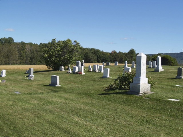
| Memorials | : | 24 |
| Location | : | Blaine, Aroostook County, USA |
| Coordinate | : | 46.4944920, -67.8681870 |
frequently asked questions (FAQ):
-
Where is Tapley Cemetery?
Tapley Cemetery is located at Blaine, Aroostook County ,Maine ,USA.
-
Tapley Cemetery cemetery's updated grave count on graveviews.com?
22 memorials
-
Where are the coordinates of the Tapley Cemetery?
Latitude: 46.4944920
Longitude: -67.8681870
Nearby Cemetories:
1. Sanborn Cemetery
Blaine, Aroostook County, USA
Coordinate: 46.4797600, -67.8532000
2. Snow Cemetery
Mars Hill, Aroostook County, USA
Coordinate: 46.5172480, -67.8843660
3. East Blaine Cemetery
Blaine, Aroostook County, USA
Coordinate: 46.4953800, -67.8143500
4. Kings Grove Cemetery
Mars Hill, Aroostook County, USA
Coordinate: 46.5325012, -67.8557968
5. Corner Cemetery
Bridgewater, Aroostook County, USA
Coordinate: 46.4558990, -67.8530960
6. Bridgewater Mennonite Church Cemetery
Bridgewater, Aroostook County, USA
Coordinate: 46.4512841, -67.8446239
7. Boundary Cemetery
Bridgewater, Aroostook County, USA
Coordinate: 46.4508171, -67.7971878
8. Pierce Cemetery
Mars Hill, Aroostook County, USA
Coordinate: 46.5602989, -67.8692017
9. Royalton Cemetery
Wicklow, Carleton County, Canada
Coordinate: 46.4820030, -67.7707210
10. Smith Cemetery
Bridgewater, Aroostook County, USA
Coordinate: 46.4118800, -67.8420870
11. Upper Knoxford Cemetery
Upper Knoxford, Carleton County, Canada
Coordinate: 46.5205700, -67.7492700
12. Marshall Cemetery
Westfield, Aroostook County, USA
Coordinate: 46.5635986, -67.9464035
13. Lower Knoxford Cemetery
Knoxford, Carleton County, Canada
Coordinate: 46.4906400, -67.7368900
14. Tracey Mills United Baptist Cemetery
Tracey Mills, Carleton County, Canada
Coordinate: 46.4406586, -67.7464600
15. Summerfield Cemetery
Wicklow, Carleton County, Canada
Coordinate: 46.5249990, -67.7083540
16. St. Paul's United Church Cemetery
Centreville, Carleton County, Canada
Coordinate: 46.4331605, -67.7121574
17. St. James Anglican Church Cemetery
Centreville, Carleton County, Canada
Coordinate: 46.4331400, -67.7119700
18. Greenfield Anglican Cemetery
Greenfield, Carleton County, Canada
Coordinate: 46.4900710, -67.6862390
19. Pomphrey Island Cemetery
Clearview, Carleton County, Canada
Coordinate: 46.5637693, -67.7153083
20. United Baptist Church Cemetery
Centreville, Carleton County, Canada
Coordinate: 46.4323100, -67.7075500
21. River de Chute Cemetery
Carleton County, Canada
Coordinate: 46.5935500, -67.7500700
22. St Bartholomew Catholic Cemetery
Clearview, Carleton County, Canada
Coordinate: 46.5730900, -67.7196300
23. Wharton Cemetery
Upper Kent, Carleton County, Canada
Coordinate: 46.5583300, -67.7011100
24. Hawthorne Cemetery
Upper Kent, Carleton County, Canada
Coordinate: 46.5833177, -67.7179017


