
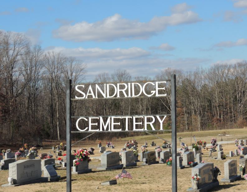
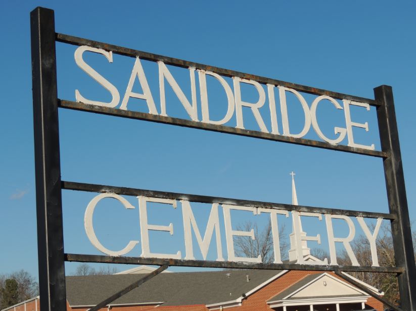
| Memorials | : | 4 |
| Location | : | Lexington, Henderson County, USA |
| Coordinate | : | 35.6800760, -88.4800950 |
| Description | : | From the intersection of US-412/TN-20 & TN-22/N Broad St., in Lexington, travel west on US-412/TN-20 for 5.3 mi. to the cemetery on the north (right) side of the highway, just past the Sand Ridge Baptist Church. |
frequently asked questions (FAQ):
-
Where is Sand Ridge Church Cemetery?
Sand Ridge Church Cemetery is located at 7501 US-412 W Lexington, Henderson County ,Tennessee ,USA.
-
Sand Ridge Church Cemetery cemetery's updated grave count on graveviews.com?
4 memorials
-
Where are the coordinates of the Sand Ridge Church Cemetery?
Latitude: 35.6800760
Longitude: -88.4800950
Nearby Cemetories:
1. Caffey Cemetery
Bargerton, Henderson County, USA
Coordinate: 35.7036018, -88.4860992
2. McCage Cemetery
Lexington, Henderson County, USA
Coordinate: 35.6951000, -88.4520000
3. Ridge Grove Church Cemetery
Lexington, Henderson County, USA
Coordinate: 35.7041250, -88.4551490
4. Old Hepzibah Cemetery
Blue Goose, Henderson County, USA
Coordinate: 35.6507988, -88.4978027
5. Prospect Cemetery
Henderson County, USA
Coordinate: 35.6970330, -88.4366830
6. New Antioch Primitive Baptist Church Cemetery
Lexington, Henderson County, USA
Coordinate: 35.6786003, -88.4308014
7. Center Ridge Cemetery
Lexington, Henderson County, USA
Coordinate: 35.7166450, -88.4591400
8. Old Bethel Church Cemetery
Lexington, Henderson County, USA
Coordinate: 35.6393610, -88.4722500
9. Church of Christ Cemetery
Huron, Henderson County, USA
Coordinate: 35.6919921, -88.5300273
10. Juno Church of Christ Cemetery
Lexington, Henderson County, USA
Coordinate: 35.6917460, -88.5308050
11. Hamlett Cemetery
Blue Goose, Henderson County, USA
Coordinate: 35.6838989, -88.5333023
12. Holly Springs Cemetery
Huron, Henderson County, USA
Coordinate: 35.6428020, -88.5085560
13. Henderson County Memory Gardens
Lexington, Henderson County, USA
Coordinate: 35.6616500, -88.4285200
14. Cooper's Grove Church Cemetery
Lexington, Henderson County, USA
Coordinate: 35.6459320, -88.4398000
15. Mount Carmel Cemetery
Lexington, Henderson County, USA
Coordinate: 35.7231750, -88.4558820
16. George Anderson Cemetery
Lexington, Henderson County, USA
Coordinate: 35.7014470, -88.5324140
17. Anderson Cemetery
Henderson County, USA
Coordinate: 35.7016983, -88.5342026
18. Old Shady Grove Methodist Church Cemetery
Lexington, Henderson County, USA
Coordinate: 35.7056400, -88.5319300
19. Bargerton Church of Christ Cemetery
Henderson County, USA
Coordinate: 35.7314000, -88.4917570
20. Hall Cemetery
Lexington, Henderson County, USA
Coordinate: 35.7330850, -88.4841940
21. New Bethel Cemetery
Lexington, Henderson County, USA
Coordinate: 35.6244030, -88.4800220
22. Beech Grove Cemetery
Huron, Henderson County, USA
Coordinate: 35.6332390, -88.5187900
23. Scott Cemetery
Lexington, Henderson County, USA
Coordinate: 35.6331110, -88.4388890
24. Waller-Douglas Cemetery
Henderson County, USA
Coordinate: 35.7301970, -88.5179270