| Memorials | : | 0 |
| Location | : | Lexington, Henderson County, USA |
| Coordinate | : | 35.6459320, -88.4398000 |
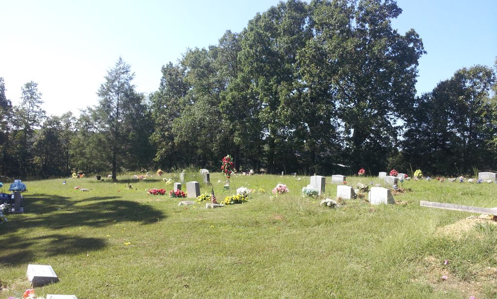
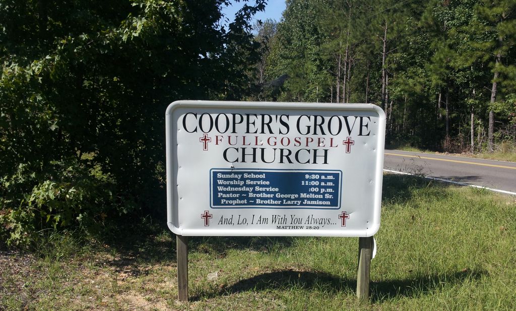
| Description | : | From the court house in Lexington, travel west on W. Main St. for 0.7 mi., turning west (right) onto Barnhill St., going 0.3 mi., continuing on Old Jackson Rd., going 1.9 mi. to the entrance on the south (left) side, to the Cooper's Grove Full Gospel Church & the cemetery behind the church. |
frequently asked questions (FAQ):
-
Where is Cooper's Grove Church Cemetery?
Cooper's Grove Church Cemetery is located at 2015 Old Jackson Road Lexington, Henderson County ,Tennessee ,USA.
-
Cooper's Grove Church Cemetery cemetery's updated grave count on graveviews.com?
0 memorials
-
Where are the coordinates of the Cooper's Grove Church Cemetery?
Latitude: 35.6459320
Longitude: -88.4398000
Nearby Cemetories:
1. Scott Cemetery
Lexington, Henderson County, USA
Coordinate: 35.6331110, -88.4388890
2. Henderson County Memory Gardens
Lexington, Henderson County, USA
Coordinate: 35.6616500, -88.4285200
3. Old Bethel Church Cemetery
Lexington, Henderson County, USA
Coordinate: 35.6393610, -88.4722500
4. New Antioch Primitive Baptist Church Cemetery
Lexington, Henderson County, USA
Coordinate: 35.6786003, -88.4308014
5. New Bethel Cemetery
Lexington, Henderson County, USA
Coordinate: 35.6244030, -88.4800220
6. Mullins Cemetery
Lexington, Henderson County, USA
Coordinate: 35.6078360, -88.4533310
7. County Farm Cemetery
Lexington, Henderson County, USA
Coordinate: 35.6081890, -88.4157540
8. Lexington Cemetery
Lexington, Henderson County, USA
Coordinate: 35.6511290, -88.3860080
9. Macedonia Cemetery
Henderson County, USA
Coordinate: 35.6018890, -88.4190140
10. Sand Ridge Church Cemetery
Lexington, Henderson County, USA
Coordinate: 35.6800760, -88.4800950
11. Old Hepzibah Cemetery
Blue Goose, Henderson County, USA
Coordinate: 35.6507988, -88.4978027
12. McCage Cemetery
Lexington, Henderson County, USA
Coordinate: 35.6951000, -88.4520000
13. Prospect Cemetery
Henderson County, USA
Coordinate: 35.6970330, -88.4366830
14. Horn Cemetery
Lexington, Henderson County, USA
Coordinate: 35.6041440, -88.3988320
15. Palestine Pentecostal Church Cemetery
Lexington, Henderson County, USA
Coordinate: 35.5908080, -88.4342830
16. Palestine Church Cemetery
Lexington, Henderson County, USA
Coordinate: 35.5904470, -88.4478410
17. Holly Springs Cemetery
Huron, Henderson County, USA
Coordinate: 35.6428020, -88.5085560
18. Piney Cemetery
Lexington, Henderson County, USA
Coordinate: 35.6029880, -88.3948500
19. Ridge Grove Church Cemetery
Lexington, Henderson County, USA
Coordinate: 35.7041250, -88.4551490
20. Beech River Cemetery
Lexington, Henderson County, USA
Coordinate: 35.6906030, -88.3905160
21. Old Beech River Cemetery
Timberlake, Henderson County, USA
Coordinate: 35.6920470, -88.3913740
22. Chapel Hill Baptist Church Cemetery
Lexington, Henderson County, USA
Coordinate: 35.5983900, -88.4864500
23. Mills Darden Cemetery
Lexington, Henderson County, USA
Coordinate: 35.6134700, -88.5051910
24. Beech Grove Cemetery
Huron, Henderson County, USA
Coordinate: 35.6332390, -88.5187900


