
| Memorials | : | 0 |
| Location | : | Sulphur, Murray County, USA |
| Coordinate | : | 34.5483500, -97.0284700 |
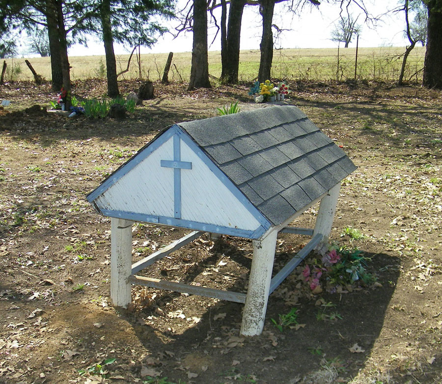
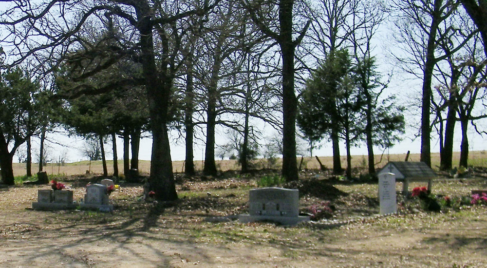
| Description | : | This is a Native American cemetery containing the final resting place for Choctaw and Chicksawa, and possibly other tribes, located northwest of Sulphur OK. Turn north on Burnside Road (from highway 7, between Davis & Sulphur). Go three miles north, turn east on Oakland Road, go ½ mile east. The cemetery is about 1/8 mile south of church. Because of illicit activities going on in the cemetery the members of Sandy Baptist Church have installed a fence and gate around the property. The gate has a chain around it but is not locked. The members request that visitors and... Read More |
frequently asked questions (FAQ):
-
Where is Sandy Baptist Church Cemetery?
Sandy Baptist Church Cemetery is located at 3455 Oakland Road Sulphur, Murray County ,Oklahoma ,USA.
-
Sandy Baptist Church Cemetery cemetery's updated grave count on graveviews.com?
0 memorials
-
Where are the coordinates of the Sandy Baptist Church Cemetery?
Latitude: 34.5483500
Longitude: -97.0284700
Nearby Cemetories:
1. Oaklawn Cemetery
Leeper Township, Murray County, USA
Coordinate: 34.5469017, -96.9822006
2. Shirley Family Cemetery
Murray County, USA
Coordinate: 34.5410520, -96.9600990
3. Ramer Cemetery
Sulphur, Murray County, USA
Coordinate: 34.5438890, -96.9563890
4. Palmer Cemetery
Sulphur, Murray County, USA
Coordinate: 34.5668983, -96.9505997
5. Iona Cemetery
Murray County, USA
Coordinate: 34.6181300, -97.0296800
6. Salem Presbyterian Cemetery
Sulphur, Murray County, USA
Coordinate: 34.6154800, -96.9663500
7. Wheeler Flats Cemetery
Murray County, USA
Coordinate: 34.5614014, -97.1399994
8. Oak Ridge Cemetery
Davis, Murray County, USA
Coordinate: 34.5050011, -97.1296997
9. Green Hill Cemetery
Davis, Murray County, USA
Coordinate: 34.4981003, -97.1294022
10. Buckhorn Cemetery
Sulphur, Murray County, USA
Coordinate: 34.4622002, -96.9511032
11. Lowrance Cemetery
Murray County, USA
Coordinate: 34.4602400, -96.9448800
12. James Cemetery
Murray County, USA
Coordinate: 34.4601800, -97.1174670
13. Walnut Cemetery
Davis, Murray County, USA
Coordinate: 34.4427780, -97.0852780
14. Dolberg Cemetery
Roff, Pontotoc County, USA
Coordinate: 34.6224600, -96.9166100
15. Oak Grove Cemetery
Garvin County, USA
Coordinate: 34.6643982, -97.0738983
16. Howell Cemetery
Garvin County, USA
Coordinate: 34.5080986, -97.1735992
17. Fletcher Cemetery
Murray County, USA
Coordinate: 34.4886017, -96.8906021
18. Price Chapel Cemetery
Davis, Murray County, USA
Coordinate: 34.4322014, -97.0958023
19. Hickory Cemetery
Hickory, Murray County, USA
Coordinate: 34.5539017, -96.8683014
20. Oaklawn Cemetery
Wynnewood, Garvin County, USA
Coordinate: 34.6347008, -97.1575012
21. Scullin Cemetery
Scullin, Murray County, USA
Coordinate: 34.5209200, -96.8651200
22. Oak Ridge Cemetery
Garvin County, USA
Coordinate: 34.5127983, -97.1921997
23. William Taylor Grave
Sulphur, Murray County, USA
Coordinate: 34.4230560, -96.9502780
24. Wynnewood View Cemetery
Garvin County, USA
Coordinate: 34.5787930, -97.1955940