| Memorials | : | 0 |
| Location | : | Hawkesbury, Prescott and Russell United Counties, Canada |
| Coordinate | : | 45.5945830, -74.6268060 |
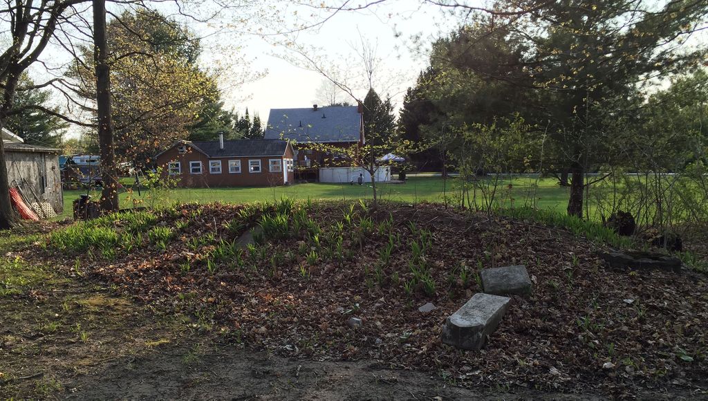
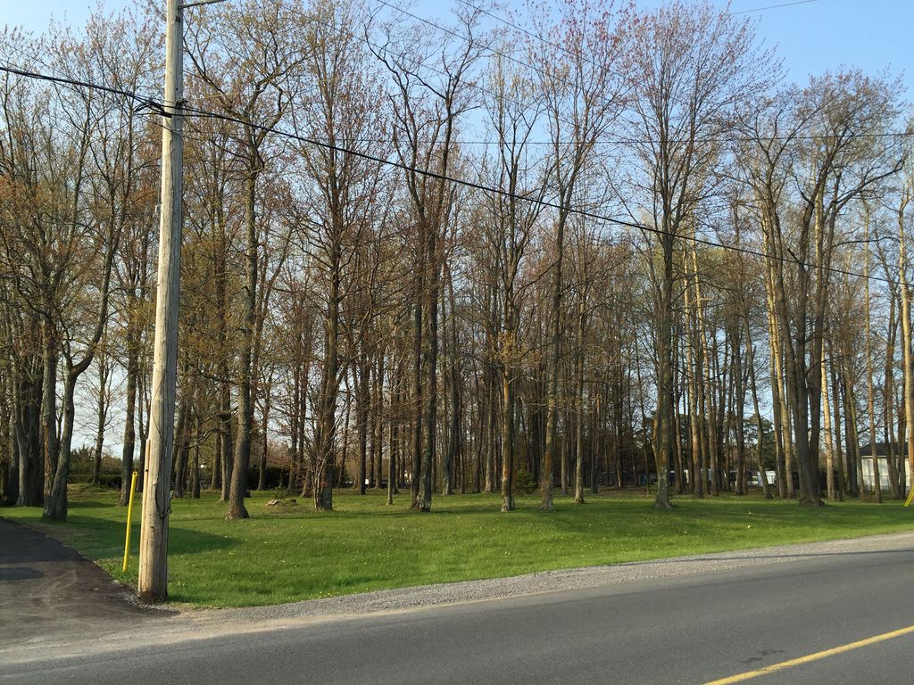
| Description | : | This abandoned cemetery, referred to variously as “Sandy Hill Cemetery”, "Founders Cemetery" and “Wason’s Cemetery”, is located on the north side of Sandy Hill Road, equidistant between Fauteux Street and March Road, in Hawkesbury, Prescott & Russell United Counties, Ontario. The cemetery is unregistered, and there is no signage of any kind indicating that it is a cemetery. The two intact stones that remain are loosely piled in a mound in the northwest corner of the heavily wooded lot. They are not visible from the street. Many small, broken, undecipherable bits of stones can be found around the periphery of... Read More |
frequently asked questions (FAQ):
-
Where is Sandy Hill Founders Cemetery?
Sandy Hill Founders Cemetery is located at Sandy Hill Road Hawkesbury, Prescott and Russell United Counties ,Ontario ,Canada.
-
Sandy Hill Founders Cemetery cemetery's updated grave count on graveviews.com?
0 memorials
-
Where are the coordinates of the Sandy Hill Founders Cemetery?
Latitude: 45.5945830
Longitude: -74.6268060
Nearby Cemetories:
1. Cimetière St-Matthews
Grenville-sur-la-Rouge, Laurentides Region, Canada
Coordinate: 45.6235260, -74.6011440
2. Saint Matthews Anglican Church Cemetery
Grenville, Laurentides Region, Canada
Coordinate: 45.6238100, -74.6006700
3. Ancien cimetière (1er) de Grenville
Grenville Bay, Laurentides Region, Canada
Coordinate: 45.6169740, -74.5852470
4. Saint Alphonse Cemetery
Hawkesbury, Prescott and Russell United Counties, Canada
Coordinate: 45.6006200, -74.5710600
5. Hillside Cemetery
Hawkesbury, Prescott and Russell United Counties, Canada
Coordinate: 45.5994700, -74.5649700
6. Saint Jean Baptiste Cemetery
L'Orignal, Prescott and Russell United Counties, Canada
Coordinate: 45.5874765, -74.6966017
7. Cassburn Cemetery
Cassburn, Prescott and Russell United Counties, Canada
Coordinate: 45.5847340, -74.7004570
8. Grenville Catholic Cemetery
Grenville, Laurentides Region, Canada
Coordinate: 45.6486800, -74.6208890
9. Calumet Cemetery
Grenville-sur-la-Rouge, Laurentides Region, Canada
Coordinate: 45.6489750, -74.6326360
10. Cimetière protestant Beauchamp
Grenville-sur-la-Rouge, Laurentides Region, Canada
Coordinate: 45.6406150, -74.5631110
11. Beauchamp Family Cemetery
Marelan, Laurentides Region, Canada
Coordinate: 45.6409520, -74.5633400
12. Greenwood Cemetery
Vankleek Hill, Prescott and Russell United Counties, Canada
Coordinate: 45.5251007, -74.6669998
13. St. John the Apostle Church Cemetery
Vankleek Hill, Prescott and Russell United Counties, Canada
Coordinate: 45.5202900, -74.6517940
14. St Gregory Catholic Cemetery
Vankleek Hill, Prescott and Russell United Counties, Canada
Coordinate: 45.5224410, -74.6670530
15. Sépulture du soldat de la Royal Staff Corps
Brownsburg-Chatham, Laurentides Region, Canada
Coordinate: 45.5949620, -74.4977710
16. Ogdensburg Cemetery
Ogdensburg, Laurentides Region, Canada
Coordinate: 45.6560870, -74.5144370
17. Pointe-au-Chêne Protestant Cemetery
Grenville-sur-la-Rouge, Laurentides Region, Canada
Coordinate: 45.6437820, -74.7543090
18. Cimetière protestant (alias Campbell)
Grenville-sur-la-Rouge, Laurentides Region, Canada
Coordinate: 45.6437470, -74.7544800
19. Cimetière de Pointe au Chênes
Grenville-sur-la-Rouge, Laurentides Region, Canada
Coordinate: 45.6476690, -74.7540590
20. Cimetière de Pointe-au-Chêne
Grenville-sur-la-Rouge, Laurentides Region, Canada
Coordinate: 45.6477990, -74.7544200
21. Cameron Family Cemetery
Grenville-sur-la-Rouge, Laurentides Region, Canada
Coordinate: 45.6634530, -74.7396970
22. Ancien cimetière Mountain Church (Grenville)
Grenville-sur-la-Rouge, Laurentides Region, Canada
Coordinate: 45.6948560, -74.5823640
23. Scotch Road Cemetery
Grenville, Laurentides Region, Canada
Coordinate: 45.6958840, -74.5864820
24. Cimetière Scotch Road
Grenville-sur-la-Rouge, Laurentides Region, Canada
Coordinate: 45.6960060, -74.5863910


