
| Memorials | : | 0 |
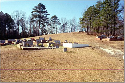
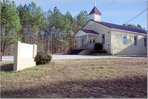
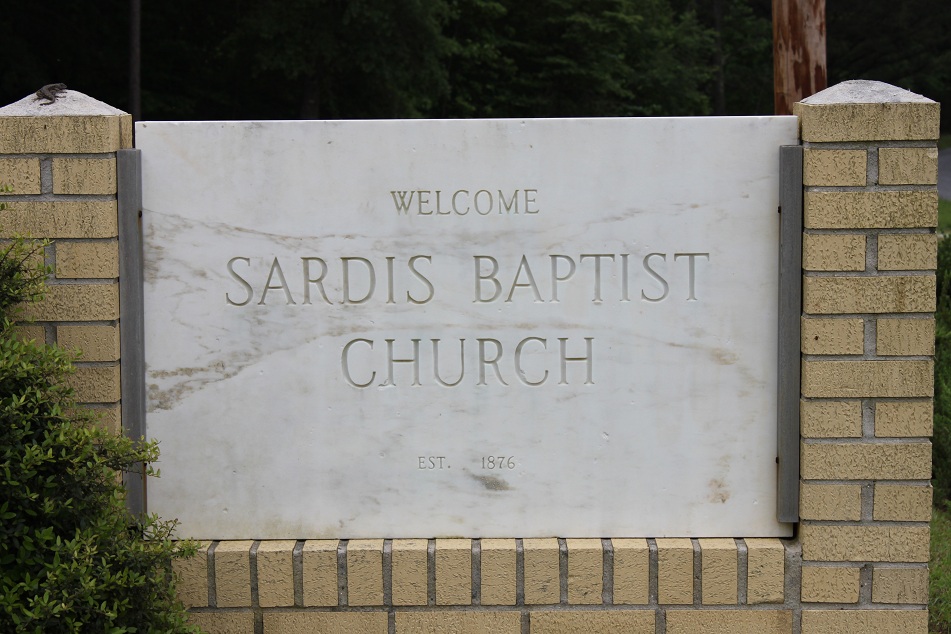
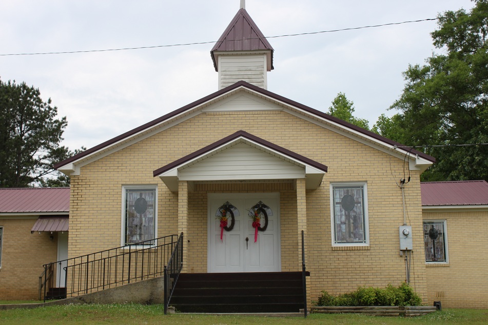
| Location | : | Gibsonville, Clay County, USA |
| Coordinate | : | 33.1883011, -85.7913971 |
frequently asked questions (FAQ):
-
Where is Sardis Baptist Church Cemetery?
Sardis Baptist Church Cemetery is located at Gibsonville, Clay County ,Alabama ,USA.
-
Sardis Baptist Church Cemetery cemetery's updated grave count on graveviews.com?
0 memorials
-
Where are the coordinates of the Sardis Baptist Church Cemetery?
Latitude: 33.1883011
Longitude: -85.7913971
Nearby Cemetories:
1. Mount Carmel Cemetery
Clay County, USA
Coordinate: 33.1669006, -85.7994003
2. Brown Cemetery
Clay County, USA
Coordinate: 33.1741982, -85.8217010
3. New Prospect Baptist Church Cemetery
Ashland, Clay County, USA
Coordinate: 33.2038990, -85.8268970
4. County Line Baptist Church Cemetery
Clay County, USA
Coordinate: 33.1960983, -85.7518997
5. Mellow Valley Baptist Church Cemetery
Cragford, Clay County, USA
Coordinate: 33.1852989, -85.7442017
6. Lystra Baptist Church Cemetery
Ashland, Clay County, USA
Coordinate: 33.2327995, -85.7996979
7. Mount Ararat Cemetery
Gibsonville, Clay County, USA
Coordinate: 33.1594009, -85.8377991
8. Patterson Cemetery
Clay County, USA
Coordinate: 33.1500015, -85.8300018
9. McDaniel Cemetery
Clay County, USA
Coordinate: 33.2016983, -85.7319031
10. Wrights Chapel Cemetery
Ashland, Clay County, USA
Coordinate: 33.2398380, -85.7980170
11. Old Providence Cemetery
Clay County, USA
Coordinate: 33.2291985, -85.7514038
12. Providence Primitive Baptist Cemetery
Ashland, Clay County, USA
Coordinate: 33.2293210, -85.7507650
13. Old Liberty Hill Cemetery
Clay County, USA
Coordinate: 33.2230988, -85.8632965
14. Mount Zion Missionary Baptist Cemetery
Ashland, Clay County, USA
Coordinate: 33.1512060, -85.8667370
15. Faith Christian Fellowship Church Cemetery
Ashland, Clay County, USA
Coordinate: 33.2530620, -85.7497820
16. Big Springs Baptist Church Cemetery
Clay County, USA
Coordinate: 33.2052994, -85.8783035
17. Bethel Baptist Church Cemetery
Cragford, Clay County, USA
Coordinate: 33.1156006, -85.8125000
18. Shiloh Baptist Church Cemetery
Lineville, Clay County, USA
Coordinate: 33.2621994, -85.7502975
19. Corinth Baptist Cemetery
Clay County, USA
Coordinate: 33.2063400, -85.6921390
20. Bethel Christian Church Cemetery
Ashland, Clay County, USA
Coordinate: 33.2020790, -85.8950860
21. Bethany Primitive Baptist Church Cemetery
Mellow Valley, Clay County, USA
Coordinate: 33.1116982, -85.7352982
22. Old Ashland Cemetery
Ashland, Clay County, USA
Coordinate: 33.2721820, -85.8332440
23. Bethel Memorial Garden Cemetery
Ashland, Clay County, USA
Coordinate: 33.2682991, -85.8497009
24. Clay County Memory Gardens
Ashland, Clay County, USA
Coordinate: 33.2825012, -85.7975006