
| Memorials | : | 0 |
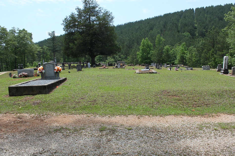
| Location | : | Gibsonville, Clay County, USA |
| Coordinate | : | 33.1594009, -85.8377991 |
frequently asked questions (FAQ):
-
Where is Mount Ararat Cemetery?
Mount Ararat Cemetery is located at Gibsonville, Clay County ,Alabama ,USA.
-
Mount Ararat Cemetery cemetery's updated grave count on graveviews.com?
0 memorials
-
Where are the coordinates of the Mount Ararat Cemetery?
Latitude: 33.1594009
Longitude: -85.8377991


Nearby Cemetories:
1. Patterson Cemetery
Clay County, USA
Coordinate: 33.1500015, -85.8300018
2. Brown Cemetery
Clay County, USA
Coordinate: 33.1741982, -85.8217010
3. Mount Zion Missionary Baptist Cemetery
Ashland, Clay County, USA
Coordinate: 33.1512060, -85.8667370
4. Mount Carmel Cemetery
Clay County, USA
Coordinate: 33.1669006, -85.7994003
5. New Prospect Baptist Church Cemetery
Ashland, Clay County, USA
Coordinate: 33.2038990, -85.8268970
6. Sardis Baptist Church Cemetery
Gibsonville, Clay County, USA
Coordinate: 33.1883011, -85.7913971
7. Bethel Baptist Church Cemetery
Cragford, Clay County, USA
Coordinate: 33.1156006, -85.8125000
8. Guthrie Chapel Cemetery
Clay County, USA
Coordinate: 33.1360016, -85.8889999
9. Big Springs Baptist Church Cemetery
Clay County, USA
Coordinate: 33.2052994, -85.8783035
10. Bethel Christian Church Cemetery
Ashland, Clay County, USA
Coordinate: 33.2020790, -85.8950860
11. Old Liberty Hill Cemetery
Clay County, USA
Coordinate: 33.2230988, -85.8632965
12. New Hope Cemetery
Tallapoosa County, USA
Coordinate: 33.0894012, -85.8527985
13. Lystra Baptist Church Cemetery
Ashland, Clay County, USA
Coordinate: 33.2327995, -85.7996979
14. County Line Baptist Church Cemetery
Clay County, USA
Coordinate: 33.1960983, -85.7518997
15. Mellow Valley Baptist Church Cemetery
Cragford, Clay County, USA
Coordinate: 33.1852989, -85.7442017
16. Millerville Baptist Church Cemetery
Millerville, Clay County, USA
Coordinate: 33.1892014, -85.9300003
17. Wrights Chapel Cemetery
Ashland, Clay County, USA
Coordinate: 33.2398380, -85.7980170
18. Mount Zion Cemetery
Ashland, Clay County, USA
Coordinate: 33.2390870, -85.8887200
19. Old Providence Baptist Church Cemetery
Tallapoosa County, USA
Coordinate: 33.0980988, -85.9225006
20. Bethany Primitive Baptist Church Cemetery
Mellow Valley, Clay County, USA
Coordinate: 33.1116982, -85.7352982
21. McDaniel Cemetery
Clay County, USA
Coordinate: 33.2016983, -85.7319031
22. Pleasant Hill Methodist Protestant Church Cemetery
Ashland, Clay County, USA
Coordinate: 33.2267410, -85.9252920
23. Old Providence Cemetery
Clay County, USA
Coordinate: 33.2291985, -85.7514038
24. Fairview Christian Church Cemetery
Ashland, Clay County, USA
Coordinate: 33.2353130, -85.9165190