
| Memorials | : | 22 |
| Location | : | Rudolph, Wood County, USA |
| Coordinate | : | 41.3342018, -83.6643982 |
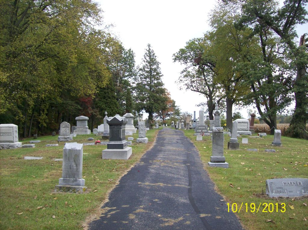
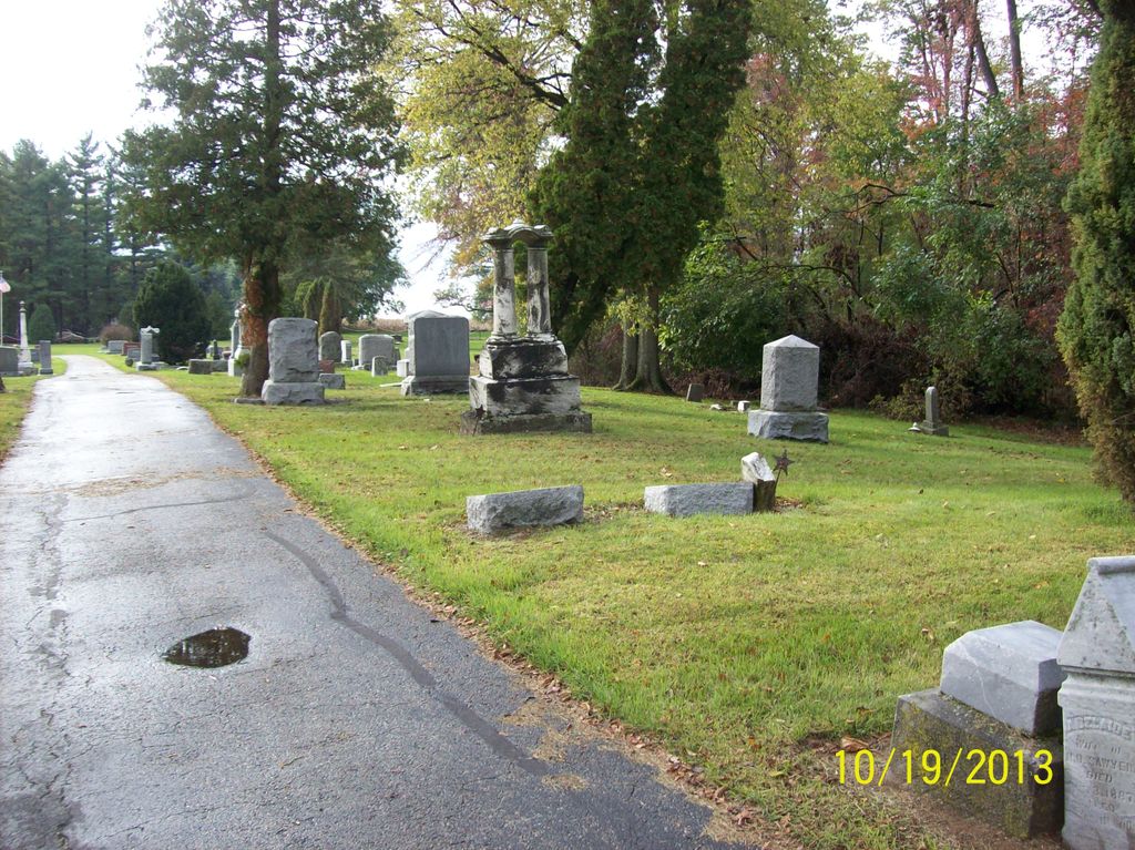
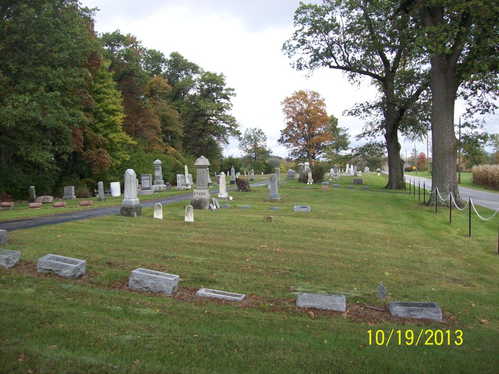
| Description | : | The cemetery is located on the north side of Powell Road (County Road 178) about 0.3 miles east of its intersection with Rudolph Road (County Road 133). The cemetery is located in Liberty Township, Wood County, Ohio, and is # 12873 (Sargent Cemetery / Sargeant Cemetery) in “Ohio Cemeteries 1803-2003”, compiled by the Ohio Genealogical Society. The cemetery is registered with the Ohio Division of Real Estate and Professional Licensing (ODRE) as Sargent with registration license number CGR.0000980737. The U.S. Geological Survey (USGS) Geographic Names Information System (GNIS) feature ID for the cemetery is 1045967 (Sargeant Cemetery /... Read More |
frequently asked questions (FAQ):
-
Where is Sargent Cemetery?
Sargent Cemetery is located at Powell Road (County Road 178) Rudolph, Wood County ,Ohio , 43451USA.
-
Sargent Cemetery cemetery's updated grave count on graveviews.com?
21 memorials
-
Where are the coordinates of the Sargent Cemetery?
Latitude: 41.3342018
Longitude: -83.6643982
Nearby Cemetories:
1. Portage Cemetery
Portage, Wood County, USA
Coordinate: 41.3292007, -83.6371994
2. Mercer Cemetery
Mermill, Wood County, USA
Coordinate: 41.3040860, -83.6770250
3. Bethel Cemetery
Rudolph, Wood County, USA
Coordinate: 41.3003300, -83.6685400
4. Wood County Home Cemetery
Center Township, Wood County, USA
Coordinate: 41.3493980, -83.6192870
5. Old Oak Grove Cemetery
Bowling Green, Wood County, USA
Coordinate: 41.3786100, -83.6475000
6. Wood County Mausoleum (Defunct)
Bowling Green, Wood County, USA
Coordinate: 41.3784760, -83.6406650
7. Oak Grove Cemetery
Bowling Green, Wood County, USA
Coordinate: 41.3792000, -83.6380997
8. Wood County Memory Gardens
Bowling Green, Wood County, USA
Coordinate: 41.3763800, -83.7083930
9. Plain Township Cemetery
Bowling Green, Wood County, USA
Coordinate: 41.3861600, -83.7104900
10. Wingston Cemetery
Weston, Wood County, USA
Coordinate: 41.2747002, -83.7256012
11. Jerry City Cemetery
Jerry City, Wood County, USA
Coordinate: 41.2580986, -83.6050034
12. Union Hill Cemetery
Bowling Green, Wood County, USA
Coordinate: 41.4239006, -83.6632996
13. Whitacre Cemetery
Cygnet, Wood County, USA
Coordinate: 41.2403110, -83.6322990
14. Old Weston Cemetery
Weston, Wood County, USA
Coordinate: 41.3578700, -83.7905600
15. New Weston Cemetery
Weston, Wood County, USA
Coordinate: 41.3575800, -83.7923300
16. Faylor Cemetery
Cygnet, Wood County, USA
Coordinate: 41.2332993, -83.7146988
17. Tontogany Cemetery
Tontogany, Wood County, USA
Coordinate: 41.4294014, -83.7427979
18. Mount Zion Cemetery
Wayne, Wood County, USA
Coordinate: 41.2668300, -83.5445600
19. Washington Cemetery
Tontogany, Wood County, USA
Coordinate: 41.4227982, -83.7675018
20. Myers Cemetery
New Rochester, Wood County, USA
Coordinate: 41.3621708, -83.5034170
21. Webster Township Cemetery
Scotch Ridge, Wood County, USA
Coordinate: 41.4075429, -83.5305762
22. Fish Cemetery
Pemberville, Wood County, USA
Coordinate: 41.3699989, -83.5038986
23. Mennonite Cemetery
Perry Township, Wood County, USA
Coordinate: 41.2531100, -83.5279800
24. Brandeberry Cemetery
Freedom Township, Wood County, USA
Coordinate: 41.3838997, -83.5017014