
| Memorials | : | 1 |
| Location | : | Cygnet, Wood County, USA |
| Coordinate | : | 41.2403110, -83.6322990 |
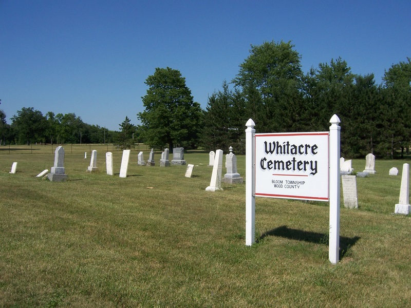
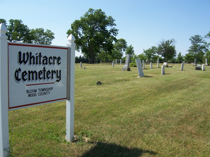
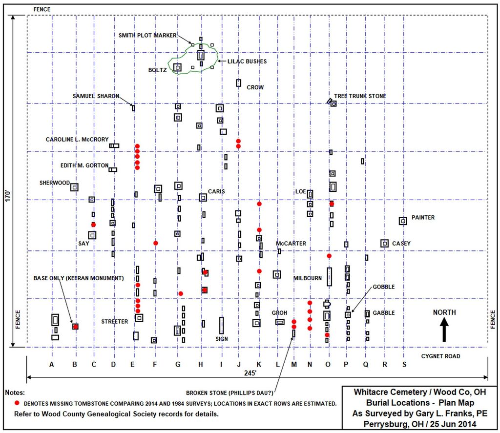
| Description | : | The cemetery is located on the north side of Cygnet Road (County Road 3) about 300 feet west of its intersection with Solether Road (County Road 118). The cemetery is located in Bloom Township, Wood County, Ohio, and is # 12840 (Cygnet Cemetery / Maple Sugar Grove Cemetery / Whitacre Cemetery) in “Ohio Cemeteries 1803-2003”, compiled by the Ohio Genealogical Society. The U.S. Geological Survey (USGS) Geographic Names Information System (GNIS) feature ID for the cemetery is 1731423 (Cygnet Cemetery / Maple Sugar Grove Cemetery / Whitacre Cemetery). |
frequently asked questions (FAQ):
-
Where is Whitacre Cemetery?
Whitacre Cemetery is located at Cygnet Road (County Road 3) Cygnet, Wood County ,Ohio , 43413USA.
-
Whitacre Cemetery cemetery's updated grave count on graveviews.com?
1 memorials
-
Where are the coordinates of the Whitacre Cemetery?
Latitude: 41.2403110
Longitude: -83.6322990
Nearby Cemetories:
1. Jerry City Cemetery
Jerry City, Wood County, USA
Coordinate: 41.2580986, -83.6050034
2. Stony Barter Cemetery
Bloom Center, Wood County, USA
Coordinate: 41.1824760, -83.6314430
3. Weaver Cemetery
Bairdstown, Wood County, USA
Coordinate: 41.1838989, -83.6093979
4. Hough Cemetery
North Baltimore, Wood County, USA
Coordinate: 41.1903300, -83.6810400
5. Bloom Chapel Cemetery
Bairdstown, Wood County, USA
Coordinate: 41.1875000, -83.5888977
6. Faylor Cemetery
Cygnet, Wood County, USA
Coordinate: 41.2332993, -83.7146988
7. Bethel Cemetery
Rudolph, Wood County, USA
Coordinate: 41.3003300, -83.6685400
8. Mount Zion Cemetery
Wayne, Wood County, USA
Coordinate: 41.2668300, -83.5445600
9. Mercer Cemetery
Mermill, Wood County, USA
Coordinate: 41.3040860, -83.6770250
10. Old Maplewood Cemetery
North Baltimore, Wood County, USA
Coordinate: 41.1730170, -83.6734200
11. Wingston Cemetery
Weston, Wood County, USA
Coordinate: 41.2747002, -83.7256012
12. Mennonite Cemetery
Perry Township, Wood County, USA
Coordinate: 41.2531100, -83.5279800
13. New Maplewood Cemetery
North Baltimore, Wood County, USA
Coordinate: 41.1711006, -83.6889038
14. Portage Cemetery
Portage, Wood County, USA
Coordinate: 41.3292007, -83.6371994
15. Bethel Cemetery
Hancock County, USA
Coordinate: 41.1622009, -83.7086029
16. Sargent Cemetery
Rudolph, Wood County, USA
Coordinate: 41.3342018, -83.6643982
17. Bechtel Cemetery
Van Buren, Hancock County, USA
Coordinate: 41.1427994, -83.6303024
18. Riverview Cemetery
West Millgrove, Wood County, USA
Coordinate: 41.2403183, -83.4954071
19. Wood County Home Cemetery
Center Township, Wood County, USA
Coordinate: 41.3493980, -83.6192870
20. Radar Cemetery (Defunct)
Van Buren, Hancock County, USA
Coordinate: 41.1314498, -83.6498657
21. Perry Center Cemetery
Perry Township, Wood County, USA
Coordinate: 41.2133860, -83.4721490
22. Vickers Cemetery
Washington Township, Hancock County, USA
Coordinate: 41.1585999, -83.5074997
23. Pleasant Hill Cemetery
McComb, Hancock County, USA
Coordinate: 41.1236000, -83.7027969
24. Thomas Cemetery
Hancock County, USA
Coordinate: 41.1483002, -83.7556000