
| Memorials | : | 0 |
| Location | : | Hazelton, Preston County, USA |
| Coordinate | : | 39.6323470, -79.5003360 |
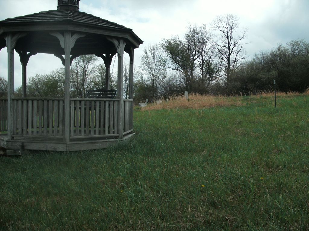
| Description | : | It is located on Bethlehem Drive off Acres of Whitetail Drive in Hazelton, near Mt. Dale, WV. Just a short distance back that private road is a gazebo on the left on top of the hill. Right behind/beside the gazebo is the small cemetery. |
frequently asked questions (FAQ):
-
Where is Savage Cemetery?
Savage Cemetery is located at Hazelton, Preston County ,West Virginia ,USA.
-
Savage Cemetery cemetery's updated grave count on graveviews.com?
0 memorials
-
Where are the coordinates of the Savage Cemetery?
Latitude: 39.6323470
Longitude: -79.5003360
Nearby Cemetories:
1. Keeler Glade Cemetery
Garrett County, USA
Coordinate: 39.6308000, -79.4768000
2. Cuppett-Falkner Cemetery
Hazelton, Preston County, USA
Coordinate: 39.6493900, -79.4879280
3. Danks Cemetery
Bruceton Mills, Preston County, USA
Coordinate: 39.6256110, -79.5290560
4. Sisler Cemetery
Mountain Dale, Preston County, USA
Coordinate: 39.6081009, -79.4938965
5. Jeffreys Cemetery
Hazelton, Preston County, USA
Coordinate: 39.6446160, -79.5351210
6. Webb Chapel Cemetery
Hazelton, Preston County, USA
Coordinate: 39.6648210, -79.4915600
7. VanSickle Cemetery
Hazelton, Preston County, USA
Coordinate: 39.6800840, -79.4850690
8. Sand Spring Cemetery
Friendsville, Garrett County, USA
Coordinate: 39.6711006, -79.4597015
9. Blooming Rose Church Cemetery
Friendsville, Garrett County, USA
Coordinate: 39.6558900, -79.4399500
10. Reverend John Boger Cemetery
Brandonville, Preston County, USA
Coordinate: 39.6623310, -79.5577120
11. Frankhouser Cemetery
Brandonville, Preston County, USA
Coordinate: 39.6545000, -79.5753000
12. Parnell Cemetery
Cuzzart, Preston County, USA
Coordinate: 39.5991900, -79.5687000
13. Mitchell Cemetery
Glade Farms, Preston County, USA
Coordinate: 39.6925470, -79.5294020
14. Humberson Cemetery
Friendsville, Garrett County, USA
Coordinate: 39.6768200, -79.4342100
15. Andrew Friend Cemetery
Friendsville, Garrett County, USA
Coordinate: 39.6631700, -79.4197000
16. Friend Family Graveyard
Friendsville, Garrett County, USA
Coordinate: 39.6622000, -79.4124200
17. Emberson Cemetery
Friendsville, Garrett County, USA
Coordinate: 39.6716995, -79.4150009
18. Glover Cemetery
Glade Farms, Preston County, USA
Coordinate: 39.6943390, -79.5606420
19. Pleasant Grove Cemetery
Brandonville, Preston County, USA
Coordinate: 39.6941986, -79.5614014
20. Cranesville Cemetery
Cranesville, Preston County, USA
Coordinate: 39.5543920, -79.4929870
21. Cuppett - Teets Cemetery
Glade Farms, Preston County, USA
Coordinate: 39.7101700, -79.5225000
22. Steele Cemetery
Friendsville, Garrett County, USA
Coordinate: 39.6650009, -79.4005966
23. Asher Glade Cemetery
Friendsville, Garrett County, USA
Coordinate: 39.7047005, -79.4443970
24. Upper Sang Run Cemetery
McHenry, Garrett County, USA
Coordinate: 39.5717810, -79.4242430