
| Memorials | : | 0 |
| Location | : | Lanark, Carroll County, USA |
| Coordinate | : | 42.0374985, -89.7427826 |
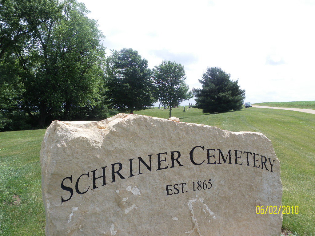
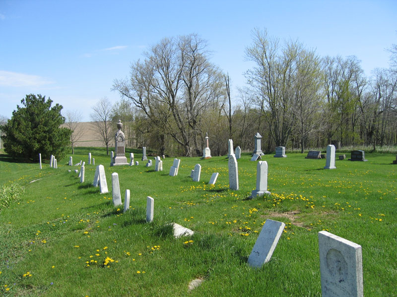
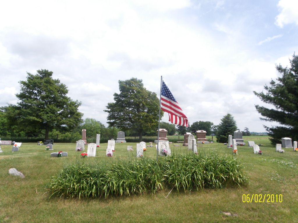
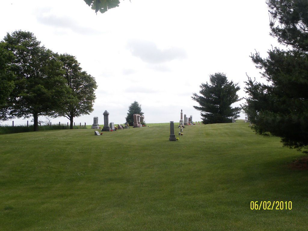
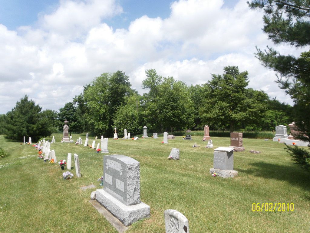
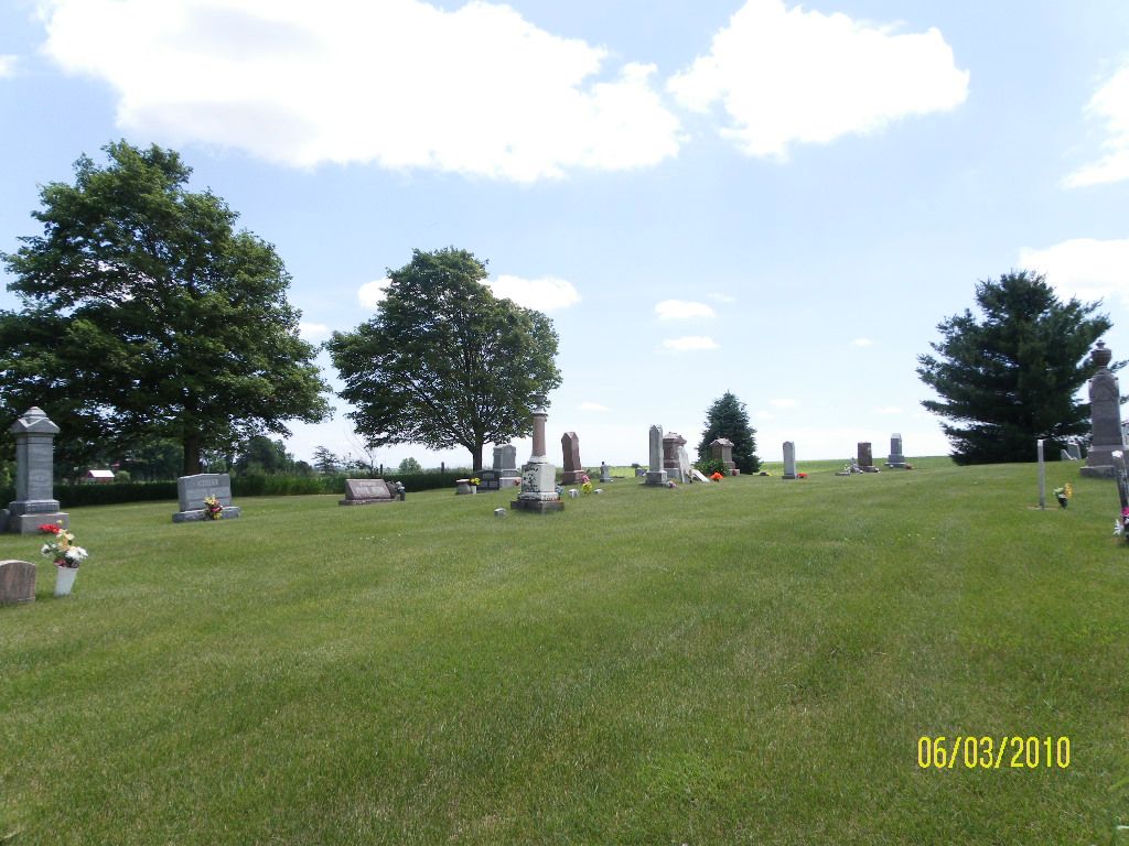
| Description | : | The cemetery is located in Lima Township on the east side of Hitt Road. The U.S. Geological Survey (USGS) Geographic Names Information System (GNIS) feature ID for the cemetery is 1785446 (Schriner Cemetery / Schriener’s Cemetery). |
frequently asked questions (FAQ):
-
Where is Schriner Cemetery?
Schriner Cemetery is located at Hitt Road Lanark, Carroll County ,Illinois , 61051USA.
-
Schriner Cemetery cemetery's updated grave count on graveviews.com?
0 memorials
-
Where are the coordinates of the Schriner Cemetery?
Latitude: 42.0374985
Longitude: -89.7427826
Nearby Cemetories:
1. Union Cemetery
Milledgeville, Carroll County, USA
Coordinate: 42.0019417, -89.7533264
2. Brookville Lutheran Cemetery
Carroll County, USA
Coordinate: 42.0550003, -89.6872177
3. Brookville United Methodist Cemetery
Brookville, Ogle County, USA
Coordinate: 42.0455589, -89.6761322
4. Eagle Point Cemetery
Polo, Ogle County, USA
Coordinate: 41.9955406, -89.6846695
5. Chambers Grove Cemetery
Forreston, Ogle County, USA
Coordinate: 42.0899811, -89.6841812
6. South Elkhorn Cemetery
South Elkhorn, Carroll County, USA
Coordinate: 41.9672203, -89.7125015
7. Dutchtown Church of the Brethren Cemetery
Milledgeville, Carroll County, USA
Coordinate: 41.9741130, -89.8174290
8. Brick Church Cemetery
Polo, Ogle County, USA
Coordinate: 41.9735603, -89.6671600
9. Lanark City Cemetery
Lanark, Carroll County, USA
Coordinate: 42.0966682, -89.8261108
10. Nichols Cemetery
Polo, Ogle County, USA
Coordinate: 41.9700012, -89.6500015
11. Chadwick Cemetery
Chadwick, Carroll County, USA
Coordinate: 42.0097198, -89.8680573
12. Bethel Cemetery
Milledgeville, Carroll County, USA
Coordinate: 41.9440700, -89.7829260
13. Webster Family Cemetery
Polo, Ogle County, USA
Coordinate: 41.9615288, -89.6521530
14. Shannon Brethren Cemetery
Shannon, Carroll County, USA
Coordinate: 42.1458282, -89.7433319
15. Durley Gravesite
Polo, Ogle County, USA
Coordinate: 41.9912987, -89.6033554
16. Forreston Grove Cemetery
Forreston, Ogle County, USA
Coordinate: 42.1159592, -89.6280365
17. Stein Family Cemetery
Carroll County, USA
Coordinate: 41.9740200, -89.8737700
18. Reed Cemetery
Polo, Ogle County, USA
Coordinate: 41.9730988, -89.6113968
19. Saint Wendelin Cemetery
Shannon, Carroll County, USA
Coordinate: 42.1549988, -89.7506027
20. Shelly Cemetery
Shannon, Carroll County, USA
Coordinate: 42.1553001, -89.7164001
21. Hazel Green Cemetery
Genesee Township, Whiteside County, USA
Coordinate: 41.9241700, -89.8104540
22. Cherry Grove Brethren Cemetery
Lanark, Carroll County, USA
Coordinate: 42.1450005, -89.8261108
23. Buffalo Grove Cemetery
Buffalo Grove, Ogle County, USA
Coordinate: 41.9794197, -89.5920410
24. Hill Top Cemetery
Jordan Township, Whiteside County, USA
Coordinate: 41.9163934, -89.6882153