
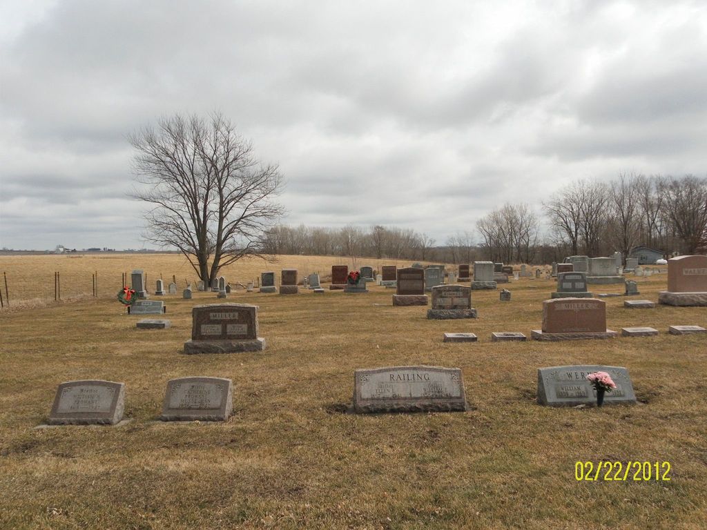
| Memorials | : | 4 |
| Location | : | Milledgeville, Carroll County, USA |
| Coordinate | : | 41.9741130, -89.8174290 |
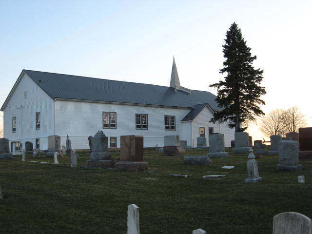
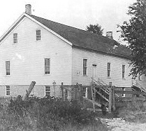
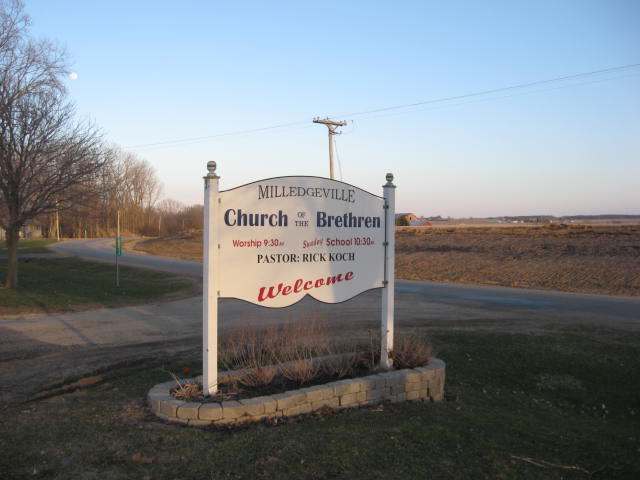
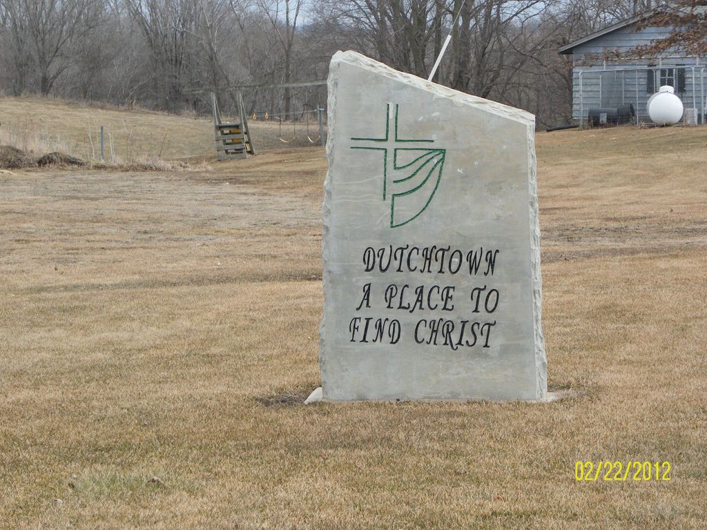
| Description | : | According to "Carroll County, A Goodly Heritage" published in 1968, the Dutchtown Church of the Brethren is located two miles west of Milledgeville. The congregation dates to the 1850s, founded by Christian Long and Henry Myers, both from Somerset County, Pennsylvania. The church was built on land owned by Henry Myers, very near to Otter Creek. Others who moved to the area from Somerset County joined the church. The church was extensively remodeled in 1955. This is a quick overview; the book provides much more detail, including names of early church members. The U.S. Geological... Read More |
frequently asked questions (FAQ):
-
Where is Dutchtown Church of the Brethren Cemetery?
Dutchtown Church of the Brethren Cemetery is located at Dutchtown Road Milledgeville, Carroll County ,Illinois , 61051USA.
-
Dutchtown Church of the Brethren Cemetery cemetery's updated grave count on graveviews.com?
3 memorials
-
Where are the coordinates of the Dutchtown Church of the Brethren Cemetery?
Latitude: 41.9741130
Longitude: -89.8174290
Nearby Cemetories:
1. Bethel Cemetery
Milledgeville, Carroll County, USA
Coordinate: 41.9440700, -89.7829260
2. Stein Family Cemetery
Carroll County, USA
Coordinate: 41.9740200, -89.8737700
3. Hazel Green Cemetery
Genesee Township, Whiteside County, USA
Coordinate: 41.9241700, -89.8104540
4. Chadwick Cemetery
Chadwick, Carroll County, USA
Coordinate: 42.0097198, -89.8680573
5. Union Cemetery
Milledgeville, Carroll County, USA
Coordinate: 42.0019417, -89.7533264
6. Genesee Grove Central Cemetery
Coleta, Whiteside County, USA
Coordinate: 41.9026290, -89.8413490
7. South Elkhorn Cemetery
South Elkhorn, Carroll County, USA
Coordinate: 41.9672203, -89.7125015
8. Hope Brethren Cemetery
Chadwick, Carroll County, USA
Coordinate: 42.0116855, -89.9176153
9. Zook Cemetery
Whiteside County, USA
Coordinate: 41.9175565, -89.9001371
10. Schriner Cemetery
Lanark, Carroll County, USA
Coordinate: 42.0374985, -89.7427826
11. Fairhaven Cemetery
Fair Haven, Carroll County, USA
Coordinate: 41.9466705, -89.9288864
12. West Genesee Cemetery
Coleta, Whiteside County, USA
Coordinate: 41.8802986, -89.8383026
13. Black Oak Cemetery
Chadwick, Carroll County, USA
Coordinate: 42.0122185, -89.9372177
14. Peugh Cemetery
Coleta, Whiteside County, USA
Coordinate: 41.8736000, -89.8082962
15. Eagle Point Cemetery
Polo, Ogle County, USA
Coordinate: 41.9955406, -89.6846695
16. Oakville Cemetery
Mount Carroll, Carroll County, USA
Coordinate: 42.0501862, -89.9262314
17. Brick Church Cemetery
Polo, Ogle County, USA
Coordinate: 41.9735603, -89.6671600
18. Hill Top Cemetery
Jordan Township, Whiteside County, USA
Coordinate: 41.9163934, -89.6882153
19. Maple Ridge Cemetery
Sterling, Whiteside County, USA
Coordinate: 41.8774986, -89.7244034
20. Malvern Cemetery
Malvern, Whiteside County, USA
Coordinate: 41.8624880, -89.8818270
21. Daggert Cemetery
Mount Carroll, Carroll County, USA
Coordinate: 42.0377808, -89.9583282
22. East Genesee Cemetery
Coleta, Whiteside County, USA
Coordinate: 41.8574982, -89.7660980
23. Lanark City Cemetery
Lanark, Carroll County, USA
Coordinate: 42.0966682, -89.8261108
24. Hickory Grove Cemetery
Genesee Township, Whiteside County, USA
Coordinate: 41.8514300, -89.8338660