
| Memorials | : | 15 |
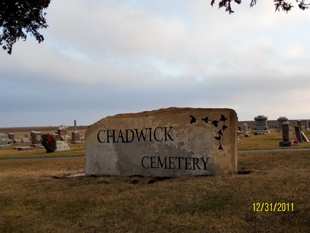
| Location | : | Chadwick, Carroll County, USA |
| Coordinate | : | 42.0097198, -89.8680573 |
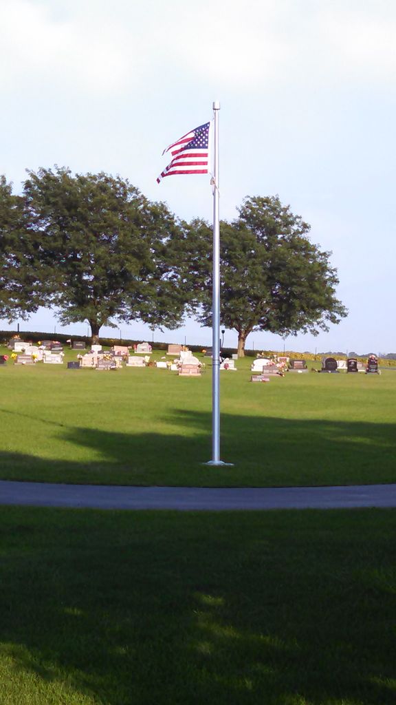
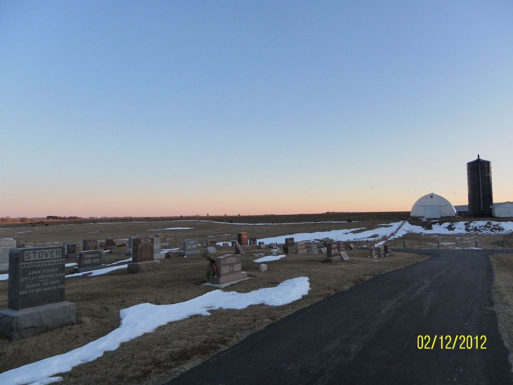
| Description | : | The cemetery is on the South side of Illinois 40 About a mile East of Chadwick. This is one of four cemeteries controlled by the Fair Haven Township. The list includes Black Oak Lutheran Cemetery, Fairhaven Cemetery, and Hope Brethren Cemetery on Oakville Road. It is known to many of the locals as Chadwick Methodist Cemetery. |
frequently asked questions (FAQ):
-
Where is Chadwick Cemetery?
Chadwick Cemetery is located at 26900 Illinois 40 Chadwick, Carroll County ,Illinois , 61014USA.
-
Chadwick Cemetery cemetery's updated grave count on graveviews.com?
14 memorials
-
Where are the coordinates of the Chadwick Cemetery?
Latitude: 42.0097198
Longitude: -89.8680573
Nearby Cemetories:
1. Stein Family Cemetery
Carroll County, USA
Coordinate: 41.9740200, -89.8737700
2. Hope Brethren Cemetery
Chadwick, Carroll County, USA
Coordinate: 42.0116855, -89.9176153
3. Black Oak Cemetery
Chadwick, Carroll County, USA
Coordinate: 42.0122185, -89.9372177
4. Dutchtown Church of the Brethren Cemetery
Milledgeville, Carroll County, USA
Coordinate: 41.9741130, -89.8174290
5. Oakville Cemetery
Mount Carroll, Carroll County, USA
Coordinate: 42.0501862, -89.9262314
6. Daggert Cemetery
Mount Carroll, Carroll County, USA
Coordinate: 42.0377808, -89.9583282
7. Fairhaven Cemetery
Fair Haven, Carroll County, USA
Coordinate: 41.9466705, -89.9288864
8. Trinity Lutheran Church Cemetery
Mount Carroll, Carroll County, USA
Coordinate: 42.0505600, -89.9588928
9. Union Cemetery
Milledgeville, Carroll County, USA
Coordinate: 42.0019417, -89.7533264
10. Bethel Cemetery
Milledgeville, Carroll County, USA
Coordinate: 41.9440700, -89.7829260
11. Lanark City Cemetery
Lanark, Carroll County, USA
Coordinate: 42.0966682, -89.8261108
12. Zook Cemetery
Whiteside County, USA
Coordinate: 41.9175565, -89.9001371
13. Hazel Green Cemetery
Genesee Township, Whiteside County, USA
Coordinate: 41.9241700, -89.8104540
14. Schriner Cemetery
Lanark, Carroll County, USA
Coordinate: 42.0374985, -89.7427826
15. Carroll County Farm Cemetery
Mount Carroll, Carroll County, USA
Coordinate: 42.0722050, -89.9848680
16. Genesee Grove Central Cemetery
Coleta, Whiteside County, USA
Coordinate: 41.9026290, -89.8413490
17. Argo Cemetery
Argo Fay, Carroll County, USA
Coordinate: 42.0042480, -90.0170160
18. North Clyde Methodist Cemetery
Whiteside County, USA
Coordinate: 41.9162760, -89.9675410
19. Sipe Cemetery
Mount Carroll, Carroll County, USA
Coordinate: 42.0450900, -90.0226600
20. South Elkhorn Cemetery
South Elkhorn, Carroll County, USA
Coordinate: 41.9672203, -89.7125015
21. Wolfe Cemetery
Georgetown, Carroll County, USA
Coordinate: 42.1357994, -89.8711014
22. Oak Hill Cemetery
Mount Carroll, Carroll County, USA
Coordinate: 42.1033287, -89.9861069
23. Arnolds Grove Cemetery
Carroll County, USA
Coordinate: 42.1283302, -89.9436111
24. West Genesee Cemetery
Coleta, Whiteside County, USA
Coordinate: 41.8802986, -89.8383026