
| Memorials | : | 4 |
| Location | : | Cannons Creek, Lawrence County, USA |
| Coordinate | : | 38.6736300, -82.5621700 |
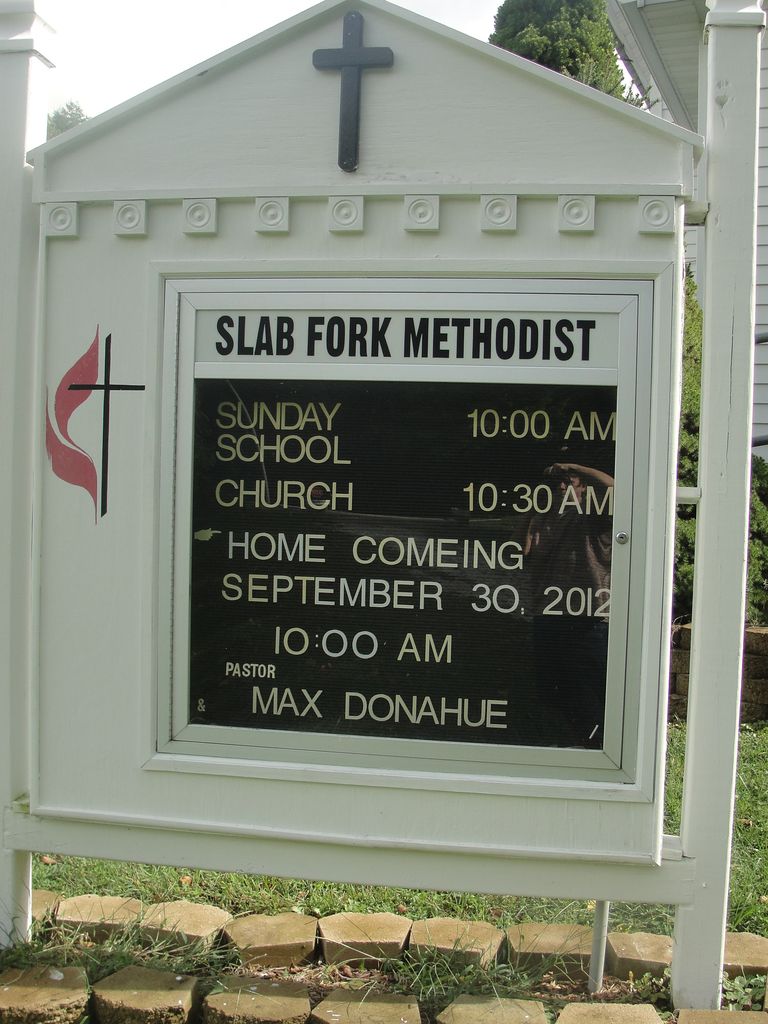
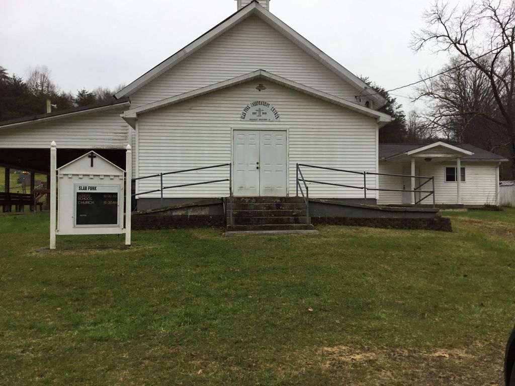
| Description | : | The cemetery is located in Aid Township, Lawrence County, Ohio, and is # 6369 (Centenary United Methodist Cemetery / Slab Fork Church Cemetery) in “Ohio Cemeteries 1803-2003”, compiled by the Ohio Genealogical Society. The U.S. Geological Survey (USGS) Geographic Names Information System (GNIS) feature ID for the cemetery is 1961673 (Slab Fork Church Cemetery / Centenary United Methodist Cemetery). |
frequently asked questions (FAQ):
-
Where is Slab Fork Church Cemetery?
Slab Fork Church Cemetery is located at Etna-Waterloo Road (County Road 4) Cannons Creek, Lawrence County ,Ohio , 45659USA.
-
Slab Fork Church Cemetery cemetery's updated grave count on graveviews.com?
4 memorials
-
Where are the coordinates of the Slab Fork Church Cemetery?
Latitude: 38.6736300
Longitude: -82.5621700


Nearby Cemetories:
1. Robinson Cemetery
Lawrence County, USA
Coordinate: 38.6711006, -82.5417023
2. Jennick Cemetery
Cannons Creek, Lawrence County, USA
Coordinate: 38.6542015, -82.5646973
3. Dennin Cemetery
Aid Township, Lawrence County, USA
Coordinate: 38.6761017, -82.5372009
4. John Neal Cemetery
Aid Township, Lawrence County, USA
Coordinate: 38.6519012, -82.5588989
5. Joe Delawder Cemetery
Pedro, Lawrence County, USA
Coordinate: 38.6525002, -82.5899963
6. Rucker Cemetery
Lawrence County, USA
Coordinate: 38.6427994, -82.5678024
7. Perry Cemetery
Elizabeth Township, Lawrence County, USA
Coordinate: 38.6618996, -82.6007996
8. Ferrell Cemetery
Arabia, Lawrence County, USA
Coordinate: 38.6418100, -82.5703200
9. Aldridge Cemetery
Aid Township, Lawrence County, USA
Coordinate: 38.6458015, -82.5931015
10. Bowen Cemetery
Pedro, Lawrence County, USA
Coordinate: 38.6683006, -82.6113968
11. Boggs Cemetery
Aid Township, Lawrence County, USA
Coordinate: 38.6464005, -82.5261002
12. Barnett Cemetery
Aid Township, Lawrence County, USA
Coordinate: 38.6278000, -82.5522003
13. Wiseman Cemetery
Sherritts, Lawrence County, USA
Coordinate: 38.6966600, -82.5073700
14. Payton Family Cemetery
Aid Township, Lawrence County, USA
Coordinate: 38.6663500, -82.4996000
15. Littles Cemetery
Decatur Township, Lawrence County, USA
Coordinate: 38.7181015, -82.5919037
16. Nelson Cemetery
Arabia, Lawrence County, USA
Coordinate: 38.6377983, -82.5061035
17. Lambert Cemetery
Aid Township, Lawrence County, USA
Coordinate: 38.6525230, -82.4913240
18. Bradshaw Cemetery #2
Arabia, Lawrence County, USA
Coordinate: 38.6550970, -82.4887380
19. Bradshaw Cemetery
Arabia, Lawrence County, USA
Coordinate: 38.6568370, -82.4854510
20. Vermillion Cemetery
Arabia, Lawrence County, USA
Coordinate: 38.6677130, -82.4801330
21. Rankin Cemetery
Aid Township, Lawrence County, USA
Coordinate: 38.6380997, -82.4918976
22. Decatur Township Unidentified Cemetery #1
Decatur Township, Lawrence County, USA
Coordinate: 38.6967110, -82.6411640
23. Russell Cemetery
Lawrence County, USA
Coordinate: 38.6128006, -82.5175018
24. Oakland Chapel Cemetery
Kitts Hill, Lawrence County, USA
Coordinate: 38.6018982, -82.5650024