
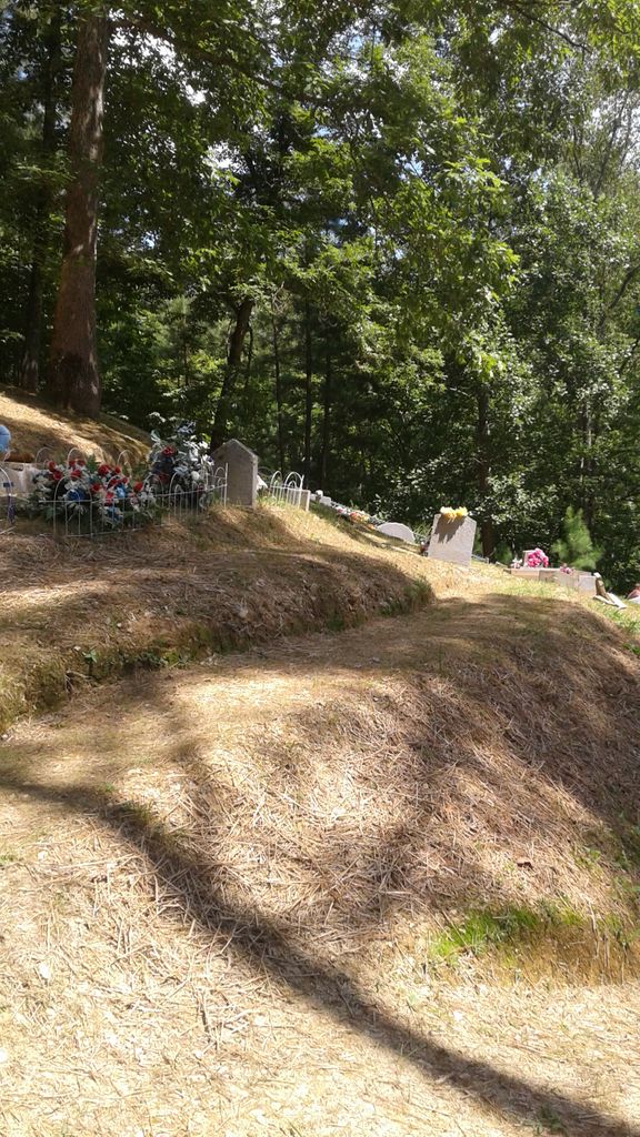
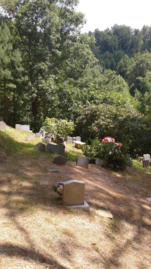
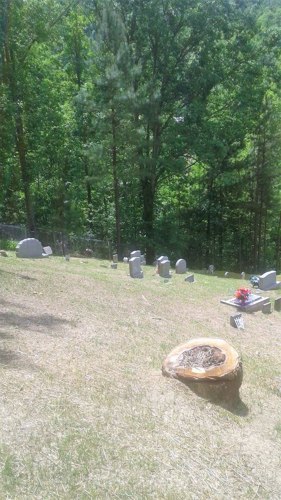
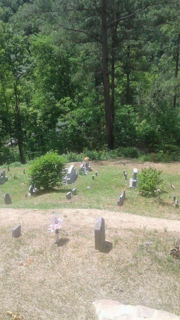
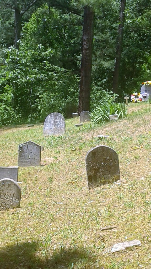
| Memorials | : | 7 |
| Location | : | Goose Rock, Clay County, USA |
| Coordinate | : | 37.0928400, -83.6804400 |
frequently asked questions (FAQ):
-
Where is Smith Cemetery #12?
Smith Cemetery #12 is located at Granny's Branch Rd Goose Rock, Clay County ,Kentucky , 40962USA.
-
Smith Cemetery #12 cemetery's updated grave count on graveviews.com?
7 memorials
-
Where are the coordinates of the Smith Cemetery #12?
Latitude: 37.0928400
Longitude: -83.6804400
Nearby Cemetories:
1. Thompson Family Cemetery
Botto, Clay County, USA
Coordinate: 37.0912660, -83.6730770
2. Cleveland Marcum Cemetery
Botto, Clay County, USA
Coordinate: 37.0868100, -83.6845200
3. Jackson Family Cemetery
Botto, Clay County, USA
Coordinate: 37.0876500, -83.6742500
4. Hollen Cemetery
Botto, Clay County, USA
Coordinate: 37.0852200, -83.6758700
5. Myers Cemetery
Goose Rock, Clay County, USA
Coordinate: 37.0906600, -83.6908200
6. Daugh Henson Cemetery
Botto, Clay County, USA
Coordinate: 37.0946500, -83.6690700
7. Henson-Marcum Cemetery
Botto, Clay County, USA
Coordinate: 37.0961500, -83.6695300
8. Earnest Henson Cemetery
Botto, Clay County, USA
Coordinate: 37.0981900, -83.6692000
9. Steve Mitchell Cemetery
Botto, Clay County, USA
Coordinate: 37.0930100, -83.6668400
10. Henson Family Cemetery
Botto, Clay County, USA
Coordinate: 37.0993900, -83.6690500
11. Hubbard-Brumley Cemetery
Botto, Clay County, USA
Coordinate: 37.0945000, -83.6659300
12. Bill Henson Cemetery
Botto, Clay County, USA
Coordinate: 37.0993700, -83.6681700
13. Hibbard-Sevier Cemetery
Goose Rock, Clay County, USA
Coordinate: 37.0872400, -83.6948000
14. Mitchell-Combs Cemetery
Botto, Clay County, USA
Coordinate: 37.0946000, -83.6644100
15. Mitchell Cemetery
Botto, Clay County, USA
Coordinate: 37.0958300, -83.6646400
16. Howard Cemetery
Lake, Laurel County, USA
Coordinate: 37.0784480, -83.6793570
17. Tip Smith Cemetery
Goose Rock, Clay County, USA
Coordinate: 37.0779680, -83.6823570
18. Brush Harbor
Goose Rock, Clay County, USA
Coordinate: 37.0949170, -83.6606730
19. Wagers Cemetery
Botto, Clay County, USA
Coordinate: 37.0949100, -83.6606700
20. White-Howard Cemetery
Goose Rock, Clay County, USA
Coordinate: 37.0932600, -83.7009000
21. Farmer-Asher Cemetery
Goose Rock, Clay County, USA
Coordinate: 37.0932700, -83.7012800
22. White Cemetery
Goose Rock, Clay County, USA
Coordinate: 37.0937700, -83.7017800
23. Goose Rock Cemetery
Goose Rock, Clay County, USA
Coordinate: 37.0793910, -83.6947570
24. Lipps Cemetery
Goose Rock, Clay County, USA
Coordinate: 37.0823300, -83.6618300