
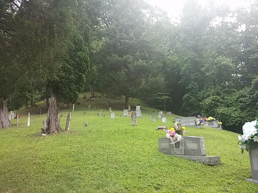
| Memorials | : | 4 |
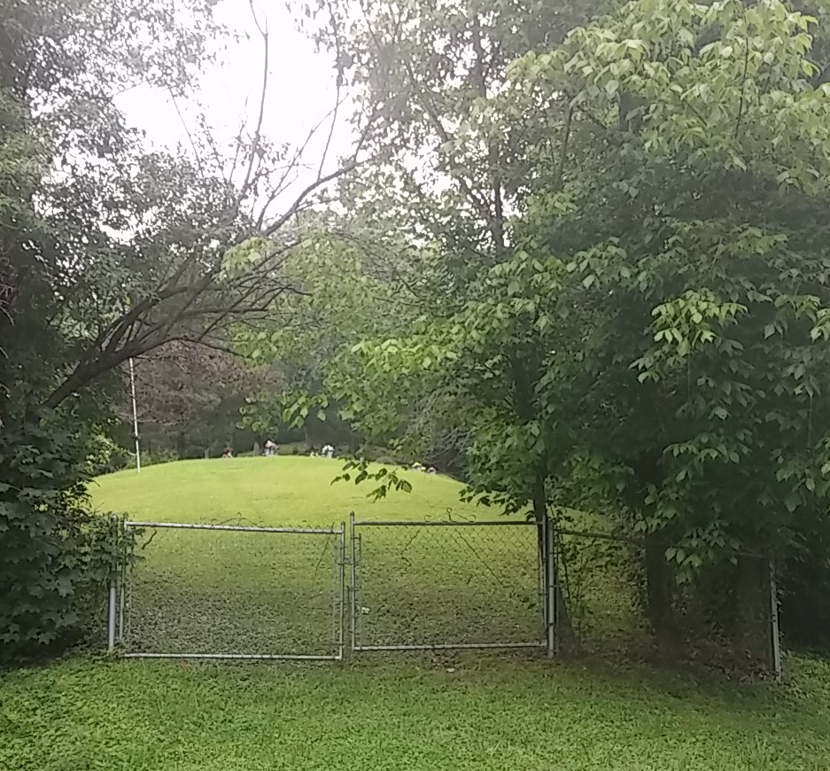
| Location | : | Goose Rock, Clay County, USA |
| Coordinate | : | 37.0823300, -83.6618300 |
| Description | : | Take Hwy 1524 past Goose Rock Elementary to Hwy. 2000. Take Hwy 2000 about 2 miles to Lipps Branch. Turn left on Lipps Branch and drive about 1 mile. The cemetery is located on the left on the hill. |
frequently asked questions (FAQ):
-
Where is Lipps Cemetery?
Lipps Cemetery is located at Goose Rock, Clay County ,Kentucky ,USA.
-
Lipps Cemetery cemetery's updated grave count on graveviews.com?
4 memorials
-
Where are the coordinates of the Lipps Cemetery?
Latitude: 37.0823300
Longitude: -83.6618300
Nearby Cemetories:
1. Joe Smith Cemetery
Plank, Clay County, USA
Coordinate: 37.0794100, -83.6522600
2. Carpenter Cemetery
Plank, Clay County, USA
Coordinate: 37.0825390, -83.6507220
3. Riley-Wagers Cemetery
Plank, Clay County, USA
Coordinate: 37.0842300, -83.6506200
4. Smith-Henson Cemetery
Plank, Clay County, USA
Coordinate: 37.0766100, -83.6503200
5. W O Wagers Cemetery
Plank, Clay County, USA
Coordinate: 37.0735000, -83.6699900
6. Jackson Family Cemetery
Botto, Clay County, USA
Coordinate: 37.0876500, -83.6742500
7. Steve Mitchell Cemetery
Botto, Clay County, USA
Coordinate: 37.0930100, -83.6668400
8. Hollen Cemetery
Botto, Clay County, USA
Coordinate: 37.0852200, -83.6758700
9. Mitchell-Combs Cemetery
Botto, Clay County, USA
Coordinate: 37.0946000, -83.6644100
10. Hubbard-Brumley Cemetery
Botto, Clay County, USA
Coordinate: 37.0945000, -83.6659300
11. Wagers Cemetery
Botto, Clay County, USA
Coordinate: 37.0949100, -83.6606700
12. Brush Harbor
Goose Rock, Clay County, USA
Coordinate: 37.0949170, -83.6606730
13. Thompson Family Cemetery
Botto, Clay County, USA
Coordinate: 37.0912660, -83.6730770
14. Daugh Henson Cemetery
Botto, Clay County, USA
Coordinate: 37.0946500, -83.6690700
15. Walker Cemetery #1
Plank, Clay County, USA
Coordinate: 37.0760800, -83.6466400
16. Mitchell Cemetery
Botto, Clay County, USA
Coordinate: 37.0958300, -83.6646400
17. Howard Cemetery
Lake, Laurel County, USA
Coordinate: 37.0784480, -83.6793570
18. Henson-Marcum Cemetery
Botto, Clay County, USA
Coordinate: 37.0961500, -83.6695300
19. Earnest Henson Cemetery
Botto, Clay County, USA
Coordinate: 37.0981900, -83.6692000
20. Tip Smith Cemetery
Goose Rock, Clay County, USA
Coordinate: 37.0779680, -83.6823570
21. Bill Henson Cemetery
Botto, Clay County, USA
Coordinate: 37.0993700, -83.6681700
22. Henson Family Cemetery
Botto, Clay County, USA
Coordinate: 37.0993900, -83.6690500
23. Smith Cemetery #12
Goose Rock, Clay County, USA
Coordinate: 37.0928400, -83.6804400
24. Cleveland Marcum Cemetery
Botto, Clay County, USA
Coordinate: 37.0868100, -83.6845200